2100 W Eisenhower Ave Norfolk, NE 68701
Estimated Value: $957,000 - $1,111,426
4
Beds
5
Baths
4,356
Sq Ft
$237/Sq Ft
Est. Value
About This Home
This home is located at 2100 W Eisenhower Ave, Norfolk, NE 68701 and is currently estimated at $1,034,213, approximately $237 per square foot. 2100 W Eisenhower Ave is a home located in Madison County with nearby schools including Norfolk Senior High School, St. Paul's Lutheran School, and Lutheran High School Northeast.
Ownership History
Date
Name
Owned For
Owner Type
Purchase Details
Closed on
Sep 13, 2023
Sold by
Rosberg John A and Rosberg Kathleen
Bought by
Paw Shae
Current Estimated Value
Purchase Details
Closed on
Apr 3, 2007
Sold by
Rosberg John and Rosberg Kathy
Bought by
Rosberg John and Rosberg Kathy
Purchase Details
Closed on
Feb 14, 2007
Sold by
Bel-Air Development Corp
Bought by
Rosberg John and Rosberg Kathy
Create a Home Valuation Report for This Property
The Home Valuation Report is an in-depth analysis detailing your home's value as well as a comparison with similar homes in the area
Home Values in the Area
Average Home Value in this Area
Purchase History
| Date | Buyer | Sale Price | Title Company |
|---|---|---|---|
| Paw Shae | $250,000 | Northeast Nebraska Title | |
| Rosberg John | -- | -- | |
| Rosberg John | $189,500 | -- |
Source: Public Records
Tax History Compared to Growth
Tax History
| Year | Tax Paid | Tax Assessment Tax Assessment Total Assessment is a certain percentage of the fair market value that is determined by local assessors to be the total taxable value of land and additions on the property. | Land | Improvement |
|---|---|---|---|---|
| 2024 | $6,935 | $726,995 | $93,530 | $633,465 |
| 2023 | $10,909 | $708,495 | $75,030 | $633,465 |
| 2022 | $10,943 | $708,495 | $75,030 | $633,465 |
| 2021 | $10,165 | $663,538 | $65,030 | $598,508 |
| 2020 | $10,298 | $663,538 | $65,030 | $598,508 |
| 2019 | $9,203 | $581,865 | $56,030 | $525,835 |
| 2018 | $8,582 | $554,685 | $56,030 | $498,655 |
| 2017 | $7,960 | $512,782 | $51,530 | $461,252 |
| 2016 | $7,692 | $492,992 | $51,530 | $441,462 |
| 2015 | $7,702 | $492,992 | $51,530 | $441,462 |
| 2014 | $7,474 | $460,311 | $51,530 | $408,781 |
| 2013 | $7,805 | $460,311 | $51,530 | $408,781 |
Source: Public Records
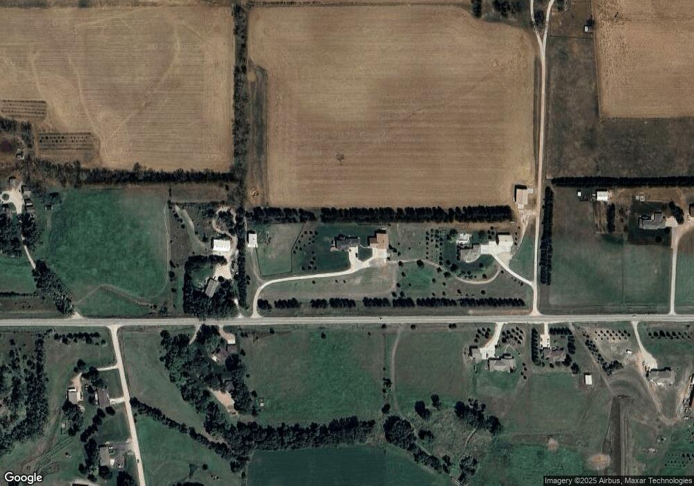
Map
Nearby Homes
- 2202 N 26th St
- 2001 Alaska Ave
- 3106 N 25th St
- 2806 Sheridan Dr
- 2203 Blackberry Dr
- 2201 N 26th St
- 1704 Homewood Dr
- 1601 Sheridan Dr
- 1705 W Berry Hill Dr
- 1603 Charolais Dr
- 1508 Homewood Dr
- 2903 Windsor Way
- 802 Ferguson Dr
- 1906 N 30th St
- 1415 Charolais Dr
- 2304 Highland Dr
- 1637 Hackberry Dr
- 1407 Homewood Dr
- 3306 Dover Dr
- 1705 Syracuse Ave
- 2020 W Eisenhower Ave
- 2200 W Eisenhower Ave
- 2201 W Eisenhower Ave
- 2101 W Eisenhower Ave
- 2001 W Eisenhower Ave
- 2401 Valli hi Rd
- 2832 N 25th St
- 2000 W Eisenhower Ave
- 1904 W Eisenhower Ave
- 2300 Valli hi Rd
- 2400 W Eisenhower Ave
- 2305 Valli hi Rd
- 1901 W Eisenhower Ave
- 1800 W Eisenhower Ave
- 2301 Valli hi Rd
- 2400 N 25th St
- 2302 Sheridan Dr
- 2200 Valli hi Rd
- 2300 Sheridan Dr
- 1111 Westbrook Dr