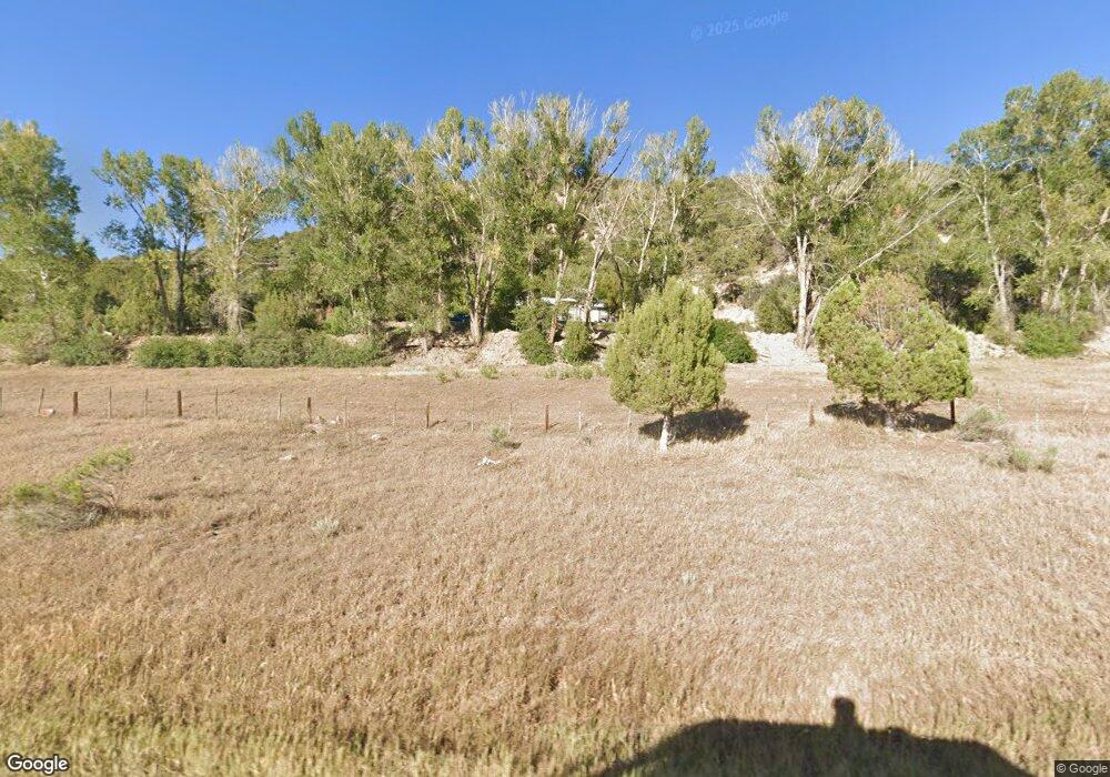
21000 Highway 550 Ridgway, CO 81432
Estimated Value: $512,000 - $693,000
3
Beds
2
Baths
1,188
Sq Ft
$507/Sq Ft
Est. Value
About This Home
This home is located at 21000 Highway 550, Ridgway, CO 81432 and is currently estimated at $602,500, approximately $507 per square foot. 21000 Highway 550 is a home located in Ouray County with nearby schools including Ouray Elementary School, Ouray Middle School, and Ouray Senior High School.
Ownership History
Date
Name
Owned For
Owner Type
Purchase Details
Closed on
Sep 16, 2021
Sold by
Weber Richard L
Bought by
Western Slope Land Development Llc
Current Estimated Value
Purchase Details
Closed on
Sep 16, 2011
Sold by
Weber Rich
Bought by
Weber Richard Louis
Home Financials for this Owner
Home Financials are based on the most recent Mortgage that was taken out on this home.
Original Mortgage
$75,000
Interest Rate
3.79%
Mortgage Type
Purchase Money Mortgage
Create a Home Valuation Report for This Property
The Home Valuation Report is an in-depth analysis detailing your home's value as well as a comparison with similar homes in the area
Home Values in the Area
Average Home Value in this Area
Purchase History
| Date | Buyer | Sale Price | Title Company |
|---|---|---|---|
| Western Slope Land Development Llc | $113,750 | Land Title Guarantee Co | |
| Western Slope Land Development Llc | $113,750 | None Available | |
| Weber Richard Louis | $75,000 | Land Title Guarantee Company |
Source: Public Records
Mortgage History
| Date | Status | Borrower | Loan Amount |
|---|---|---|---|
| Previous Owner | Weber Richard Louis | $75,000 |
Source: Public Records
Tax History Compared to Growth
Tax History
| Year | Tax Paid | Tax Assessment Tax Assessment Total Assessment is a certain percentage of the fair market value that is determined by local assessors to be the total taxable value of land and additions on the property. | Land | Improvement |
|---|---|---|---|---|
| 2024 | $1,956 | $35,650 | $190 | $35,460 |
| 2023 | $1,956 | $38,700 | $190 | $38,510 |
| 2022 | $1,708 | $30,680 | $180 | $30,500 |
| 2021 | $1,614 | $31,580 | $200 | $31,380 |
| 2020 | $1,152 | $25,470 | $190 | $25,280 |
| 2019 | $1,152 | $22,850 | $190 | $22,660 |
| 2018 | $768 | $14,790 | $260 | $14,530 |
| 2017 | $586 | $11,410 | $260 | $11,150 |
| 2016 | $488 | $10,570 | $190 | $10,380 |
| 2015 | -- | $10,570 | $190 | $10,380 |
| 2012 | -- | $9,940 | $170 | $9,770 |
Source: Public Records
Map
Nearby Homes
- 279 Winding Trail
- 0 Elsie Trail
- 925 County Road 12
- 0 Hunter Pkwy Unit 26-B 43158
- 6154, 5636 County Road 23
- TBD Hunter Pkwy
- 248 Redcliff Dr
- 236 Redcliff Dr
- 244 Redcliff Dr
- 0 Redcliff Dr Unit 826389
- 0 Redcliff Dr Unit 43739
- 205 Jasper Place Unit 204
- 520 G-104 Redcliff Cir
- 0 Tbd Hyde St Unit 24-13 REC4616393
- TBD Sherman St
- 0 Tabernash Ln Unit 50 43735
- TBD Tabernash Ln
- 520 Redcliff Cir Unit G104
- 0 Mall Road & Redcliff Dr Unit 43860
- TBD Vista Dr
- 1000 County Road 3
- 0 County Road 3
- 0 #25 Unit 671631
- 0 Hwy 550 Space Unit 15
- 21430 Highway 550
- 1 County Road 3
- 20748 Highway 550
- 318 Winding Trail
- 20748 Highway 550 Unit 18
- 20748 Highway 550 Unit 21
- 21438 Highway 550
- 1031 County Road 3
- 1586 County Road 3
- 20725 Highway 550
- 1011 County Road 3
- 20725 Us-550
- 909 County Road 3
- tbd Highway 550 43 Acres
- 0 Tbd 550
- 21599 Highway 550
