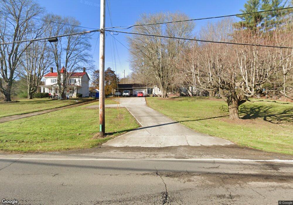
21003 State Route 93 Coalton, OH 45621
Estimated Value: $54,000 - $226,000
3
Beds
2
Baths
1,288
Sq Ft
$111/Sq Ft
Est. Value
About This Home
This home is located at 21003 State Route 93, Coalton, OH 45621 and is currently estimated at $143,269, approximately $111 per square foot. 21003 State Route 93 is a home with nearby schools including Bundy Elementary School, Wellston Intermediate School, and Wellston Middle School.
Ownership History
Date
Name
Owned For
Owner Type
Purchase Details
Closed on
Dec 1, 2016
Sold by
Mckinniss Stephen A
Bought by
Helen L Mckinniss
Current Estimated Value
Purchase Details
Closed on
Feb 21, 2002
Sold by
Humphreys Kevin M
Bought by
Mckinniss Stephen A and Mckinniss Helen L
Create a Home Valuation Report for This Property
The Home Valuation Report is an in-depth analysis detailing your home's value as well as a comparison with similar homes in the area
Home Values in the Area
Average Home Value in this Area
Purchase History
| Date | Buyer | Sale Price | Title Company |
|---|---|---|---|
| Helen L Mckinniss | -- | -- | |
| Mckinniss Stephen A | $69,000 | -- |
Source: Public Records
Tax History Compared to Growth
Tax History
| Year | Tax Paid | Tax Assessment Tax Assessment Total Assessment is a certain percentage of the fair market value that is determined by local assessors to be the total taxable value of land and additions on the property. | Land | Improvement |
|---|---|---|---|---|
| 2024 | $955 | $41,080 | $2,860 | $38,220 |
| 2023 | $1,254 | $41,080 | $2,860 | $38,220 |
| 2022 | $1,154 | $30,220 | $2,280 | $27,940 |
| 2021 | $972 | $30,220 | $2,280 | $27,940 |
| 2020 | $1,000 | $30,220 | $2,280 | $27,940 |
| 2019 | $896 | $26,280 | $1,980 | $24,300 |
| 2018 | $864 | $26,280 | $1,980 | $24,300 |
| 2017 | $816 | $26,280 | $1,980 | $24,300 |
| 2016 | $472 | $23,820 | $2,320 | $21,500 |
| 2015 | $471 | $23,820 | $2,320 | $21,500 |
| 2013 | $440 | $22,800 | $2,320 | $20,480 |
| 2012 | $445 | $22,800 | $2,320 | $20,480 |
Source: Public Records
Map
Nearby Homes
- 82 Main St
- 522 Hard Scrapple Rd
- 19490 Ohio 93
- 4826 Ohio 788
- 23711 Ohio 93
- 759 Fairgreens Rd
- 10933 Chillicothe Pike
- 2485 Smith Bridge Rd
- 533 Aaron Ave
- 88 Taft St
- 71 Buel Harris Rd
- 15 Short St
- 1040 W Broadway St
- 11834 Ohio 327
- 360 Hayes Ln
- 374 Exline Rd
- 0 Womeldorf Ln
- 103 Meadow Run Rd
- 103&103B Meadow Run
- 44 E Vine St
