Estimated Value: $493,284 - $552,000
3
Beds
2
Baths
1,826
Sq Ft
$286/Sq Ft
Est. Value
About This Home
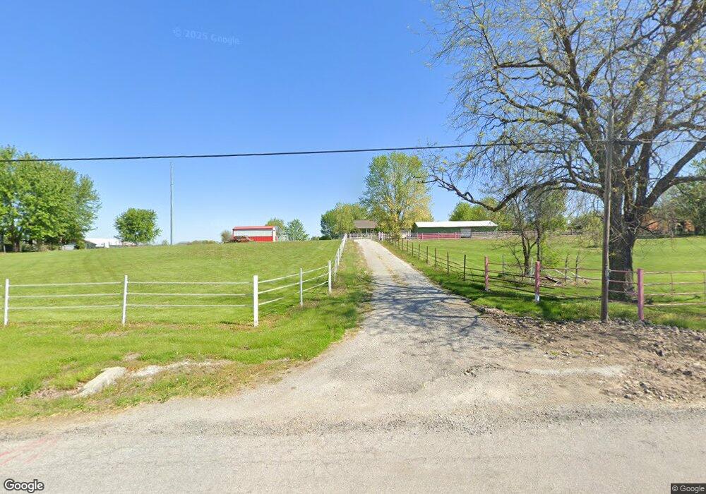
This home is located at 21006 NE 172nd St, Holt, MO 64048 and is currently estimated at $522,642, approximately $286 per square foot. 21006 NE 172nd St is a home located in Clay County with nearby schools including Kearney Junior High School and Kearney High School.
Ownership History
Date
Name
Owned For
Owner Type
Purchase Details
Closed on
Aug 16, 2022
Sold by
Huffman Jr Joseph M
Bought by
Joseph M Huffman Jr Revocable Inter Vivos Tru
Current Estimated Value
Purchase Details
Closed on
May 16, 2003
Sold by
Welch Bobby J and Welch Melinda J
Bought by
Huffman Joseph M
Home Financials for this Owner
Home Financials are based on the most recent Mortgage that was taken out on this home.
Original Mortgage
$192,000
Interest Rate
6.9%
Mortgage Type
Purchase Money Mortgage
Purchase Details
Closed on
Mar 26, 2002
Sold by
Brown Augustus H and Brown Michele A
Bought by
Welch Bobby J and Welch Melinda
Home Financials for this Owner
Home Financials are based on the most recent Mortgage that was taken out on this home.
Original Mortgage
$229,900
Interest Rate
10%
Create a Home Valuation Report for This Property
The Home Valuation Report is an in-depth analysis detailing your home's value as well as a comparison with similar homes in the area
Home Values in the Area
Average Home Value in this Area
Purchase History
| Date | Buyer | Sale Price | Title Company |
|---|---|---|---|
| Joseph M Huffman Jr Revocable Inter Vivos Tru | -- | None Listed On Document | |
| Huffman Joseph M | -- | Stewart Title | |
| Welch Bobby J | -- | -- |
Source: Public Records
Mortgage History
| Date | Status | Borrower | Loan Amount |
|---|---|---|---|
| Previous Owner | Huffman Joseph M | $192,000 | |
| Previous Owner | Welch Bobby J | $229,900 | |
| Closed | Huffman Joseph M | $48,000 |
Source: Public Records
Tax History
| Year | Tax Paid | Tax Assessment Tax Assessment Total Assessment is a certain percentage of the fair market value that is determined by local assessors to be the total taxable value of land and additions on the property. | Land | Improvement |
|---|---|---|---|---|
| 2025 | $3,206 | $55,790 | -- | -- |
| 2024 | $3,206 | $50,680 | -- | -- |
| 2023 | $3,195 | $50,680 | $0 | $0 |
| 2022 | $2,889 | $44,380 | $0 | $0 |
| 2021 | $2,827 | $44,536 | $5,947 | $38,589 |
| 2020 | $2,969 | $42,350 | $0 | $0 |
| 2019 | $2,952 | $42,350 | $0 | $0 |
Source: Public Records
Map
Nearby Homes
- 22612 N Prestige Dr
- 22223 NE 159th St
- 17504 State Route 33
- 16816 Landmark Loop
- 17102 Barr Ave
- 201 S Marimack Dr
- 102 W Lawrence St
- 21619 NE 150th St
- 9900 NE 172nd St
- 0 Lot 5 Arnold Park Lot N A Unit HMS2572371
- 0 Lot 3 Arnold Park Lot N A Unit HMS2572330
- 905 Susan St
- Lot 10 188th St & Downing Rd
- 0 Meadow Ln
- 1102 Susan St
- 606 Water St
- 610 Waters St
- 1300 Melissa Ct
- 1202 Noah's Ln
- 1204 Noah's Ln
- 21020 NE 172nd St
- 21210 NE 172nd St
- 21016 NE 171st St
- 20826 NE 171st St
- 20802 NE 172nd St
- 17113 Stewart Cir
- 20812 NE 171st St
- 21007 NE 171st St
- 21015 NE 171st St
- 21219 NE 172nd St
- 20622 NE 172nd St
- 20819 NE 171st St
- 17101 Stewart Cir
- 20626 NE 171st St
- 21222 NE 172nd St
- 21406 NE 172nd St
- 17109 Stewart Cir
- 20618 NE 171st St
- 21409 NE 172nd St
- 17025 Elizabeth Dr
Your Personal Tour Guide
Ask me questions while you tour the home.