21009 Captain Morgan Ct Plattsmouth, NE 68048
Estimated Value: $493,000 - $620,000
4
Beds
3
Baths
3,328
Sq Ft
$173/Sq Ft
Est. Value
About This Home
This home is located at 21009 Captain Morgan Ct, Plattsmouth, NE 68048 and is currently estimated at $574,115, approximately $172 per square foot. 21009 Captain Morgan Ct is a home located in Cass County with nearby schools including Plattsmouth Elementary School, Plattsmouth Middle School, and Plattsmouth High School.
Ownership History
Date
Name
Owned For
Owner Type
Purchase Details
Closed on
Jan 25, 2017
Sold by
Slobodnik Timothy J and Slobodnik Connie L
Bought by
Slobodnik Timothy J and Slobodnik Connie L
Current Estimated Value
Purchase Details
Closed on
Nov 20, 2007
Sold by
Slobodnik Timothy J and Slobodnik Connie L
Bought by
Slobodnik Timothy J and Slobodnik Connie L
Purchase Details
Closed on
Jun 6, 2003
Sold by
Slobodnik John P and Slobodnik Judith A
Bought by
Slobodnik Timothy J and Slobodnik Connie L
Purchase Details
Closed on
Feb 15, 2002
Sold by
Slobodnik John and Slobodnik Judy
Bought by
Slobodnik John P and Slobodnik Judith A
Create a Home Valuation Report for This Property
The Home Valuation Report is an in-depth analysis detailing your home's value as well as a comparison with similar homes in the area
Home Values in the Area
Average Home Value in this Area
Purchase History
| Date | Buyer | Sale Price | Title Company |
|---|---|---|---|
| Slobodnik Timothy J | $1,778 | None Available | |
| Slobodnik Timothy J | -- | -- | |
| Slobodnik Timothy J | $7,500 | -- | |
| Slobodnik John P | -- | -- |
Source: Public Records
Tax History Compared to Growth
Tax History
| Year | Tax Paid | Tax Assessment Tax Assessment Total Assessment is a certain percentage of the fair market value that is determined by local assessors to be the total taxable value of land and additions on the property. | Land | Improvement |
|---|---|---|---|---|
| 2024 | $9,523 | $529,530 | $41,230 | $488,300 |
| 2023 | $11,195 | $503,400 | $40,500 | $462,900 |
| 2022 | $10,476 | $480,827 | $42,525 | $438,302 |
| 2021 | $9,116 | $404,790 | $40,500 | $364,290 |
| 2020 | $9,630 | $414,869 | $43,740 | $371,129 |
| 2019 | $9,452 | $384,138 | $40,500 | $343,638 |
| 2018 | $9,396 | $384,138 | $40,500 | $343,638 |
| 2017 | $8,516 | $346,860 | $30,800 | $316,060 |
| 2016 | $8,404 | $346,860 | $30,800 | $316,060 |
| 2015 | $8,286 | $346,860 | $30,800 | $316,060 |
| 2014 | $8,503 | $346,860 | $30,800 | $316,060 |
Source: Public Records
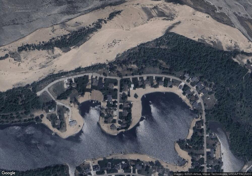
Map
Nearby Homes
- Lot 21 Treasure Island Rd
- 2618 Platte River Dr
- 2903 Lakeside Dr
- 2829 Lakeside Dr
- 2831 Lakeside Dr
- 2837 Lakeside Dr
- 2839 Lakeside Dr
- 2901 Lakeside Dr
- 2905 Lakeside Dr
- 2907 Lakeside Dr
- 2909 Lakeside Dr
- 2911 Lakeside Dr
- 2913 Lakeside Dr
- 2915 Lakeside Dr
- 3035 Lakeside Dr
- 3037 Lakeside Dr
- 3039 Lakeside Dr
- 3041 Lakeside Dr
- 2493 Buccaneer Blvd
- 19719 Sterling Ct
- 21009 Captain Morgan Ct
- 21024 Treasure Island Rd
- 21010 Captain Morgan Ct
- 20019 Captain Morgan Ct
- 20024 Captain Morgan Ct
- 21022 Treasure Island Rd
- 20015 Captain Morgan Ct
- 21034 Treasure Island Rd
- 21020 Treasure Island Rd
- 20016 Captain Morgan Ct
- 21036 Treasure Island Rd
- 21018 Treasure Island Rd
- 20010 Captain Morgan Ct
- 21038 Treasure Island Rd
- 21016 Treasure Island Rd
- 20006 Captain Morgan Ct
- 21012 Treasure Island Rd
- 21042 Treasure Island Rd
- 21008 Treasure Island Rd
- 21050 Treasure Island Rd