2101 Anderson Hwy Elberton, GA 30635
Estimated Value: $464,000 - $601,000
4
Beds
3
Baths
3,012
Sq Ft
$173/Sq Ft
Est. Value
About This Home
This home is located at 2101 Anderson Hwy, Elberton, GA 30635 and is currently estimated at $521,916, approximately $173 per square foot. 2101 Anderson Hwy is a home located in Elbert County with nearby schools including Elbert County Primary School, Elbert County Elementary School, and Elbert County Middle School.
Ownership History
Date
Name
Owned For
Owner Type
Purchase Details
Closed on
May 13, 2022
Sold by
Rucker Russell Lee
Bought by
Mattox Joshua Paul and Mattox Heather Ann
Current Estimated Value
Purchase Details
Closed on
Jan 13, 2013
Sold by
Rucker Richard L
Bought by
Rucker Russell Lee and Rucker Samantha Rose
Purchase Details
Closed on
Jan 13, 2012
Sold by
Rucker Richard L
Bought by
Rucker Russell Lee
Purchase Details
Closed on
Mar 15, 2005
Sold by
Rucker Richard L
Bought by
Frank Eaves Properties Llc
Purchase Details
Closed on
Jan 1, 1972
Sold by
O'Neal Dr John B
Bought by
Rucker Richard L
Create a Home Valuation Report for This Property
The Home Valuation Report is an in-depth analysis detailing your home's value as well as a comparison with similar homes in the area
Home Values in the Area
Average Home Value in this Area
Purchase History
| Date | Buyer | Sale Price | Title Company |
|---|---|---|---|
| Mattox Joshua Paul | $15,000 | -- | |
| Rucker Russell Lee | $200,000 | -- | |
| Rucker Russell Lee | $200,000 | -- | |
| Rucker Russell Lee | $200,000 | -- | |
| Frank Eaves Properties Llc | -- | -- | |
| Rucker Richard L | -- | -- |
Source: Public Records
Tax History Compared to Growth
Tax History
| Year | Tax Paid | Tax Assessment Tax Assessment Total Assessment is a certain percentage of the fair market value that is determined by local assessors to be the total taxable value of land and additions on the property. | Land | Improvement |
|---|---|---|---|---|
| 2024 | $4,393 | $183,214 | $49,974 | $133,240 |
| 2023 | $3,795 | $158,257 | $49,974 | $108,283 |
| 2022 | $2,512 | $106,766 | $32,772 | $73,994 |
| 2021 | $2,406 | $102,186 | $32,772 | $69,414 |
| 2020 | $2,222 | $83,737 | $26,217 | $57,520 |
| 2019 | $2,364 | $83,737 | $26,217 | $57,520 |
| 2018 | $2,436 | $83,737 | $26,217 | $57,520 |
| 2017 | $2,528 | $80,469 | $26,217 | $54,252 |
| 2016 | $2,339 | $79,696 | $26,217 | $53,479 |
| 2015 | -- | $79,696 | $26,217 | $53,479 |
| 2014 | -- | $79,696 | $26,217 | $53,479 |
| 2013 | -- | $79,696 | $26,217 | $53,479 |
Source: Public Records
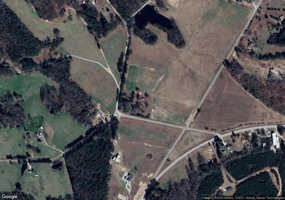
Map
Nearby Homes
- 2154 Far-A-way Rd
- 0 Far-A-way Rd
- 0 Far-A-way Rd Unit 1026251
- 2166 Far A Way Rd
- 2023 Stephens Rd
- 1136 Flagstone Rd
- 0 Paul Motes Rd Unit 10631596
- 0 Harmony Rd Unit 18771344
- 0 Allen Logan Rd Unit 22671131
- 2109 Brewers Mill Rd
- 1912 Ruckersville
- 1160 Plantation Rd
- 2126 Amberly Rd
- 1859 William Smith Rd
- 2920 Ruckersville Rd
- 1 Powerhouse Dr
- 0 Anderson Hwy Unit 24629664
- 0 Anderson Hwy Unit 10536298
- 0 Henry Moon Dr Unit 10452056
- 2193 Ruckersville Rd
- 2162 Pauline Daniels Rd
- 2097 Anderson Hwy
- 2166 Pauline Daniels Rd
- 2100 Anderson Hwy
- 2138 Pauline Daniels Rd
- 2144 Anderson Hwy
- 2164 Anderson Hwy
- 1151 Bud Daniel Dr
- 2078 Double Branches Rd
- 2157 Leon Bryant Rd
- 2091 Double Branches Rd
- 2183 Anderson Hwy
- 2010 Anderson Hwy
- 2184 Anderson Hwy
- 2197 Anderson Hwy
- 2171 Norris Webb Rd
- 2224 Anderson Hwy
- 2198 Harmony Rd
- 2205 Anderson Hwy
- 2063 Raymond Anderson Rd