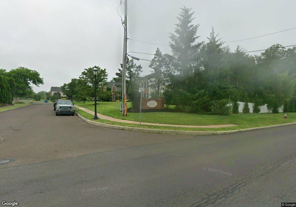
2101 Ashton Dr Jamison, PA 18929
Estimated Value: $1,016,824 - $1,315,000
4
Beds
4
Baths
3,870
Sq Ft
$301/Sq Ft
Est. Value
About This Home
This home is located at 2101 Ashton Dr, Jamison, PA 18929 and is currently estimated at $1,165,706, approximately $301 per square foot. 2101 Ashton Dr is a home located in Bucks County with nearby schools including Jamison Elementary School, Tamanend Middle School, and Central Bucks High School - South.
Ownership History
Date
Name
Owned For
Owner Type
Purchase Details
Closed on
Jul 6, 2016
Sold by
Kane Ilene L
Bought by
Pietrzykowski Stephen and Pietrzykowski Cheryl
Current Estimated Value
Home Financials for this Owner
Home Financials are based on the most recent Mortgage that was taken out on this home.
Original Mortgage
$355,000
Outstanding Balance
$280,887
Interest Rate
3.64%
Mortgage Type
New Conventional
Estimated Equity
$884,819
Purchase Details
Closed on
Oct 27, 2004
Sold by
Nvr Inc
Bought by
Kane Ilene L
Home Financials for this Owner
Home Financials are based on the most recent Mortgage that was taken out on this home.
Original Mortgage
$365,960
Interest Rate
5.8%
Mortgage Type
Fannie Mae Freddie Mac
Purchase Details
Closed on
Jul 9, 2004
Sold by
Ashton Reserve Associates Lp
Bought by
Nvr Inc and Nvhomes
Create a Home Valuation Report for This Property
The Home Valuation Report is an in-depth analysis detailing your home's value as well as a comparison with similar homes in the area
Home Values in the Area
Average Home Value in this Area
Purchase History
| Date | Buyer | Sale Price | Title Company |
|---|---|---|---|
| Pietrzykowski Stephen | $555,555 | None Available | |
| Kane Ilene L | $609,940 | -- | |
| Nvr Inc | $185,675 | -- |
Source: Public Records
Mortgage History
| Date | Status | Borrower | Loan Amount |
|---|---|---|---|
| Open | Pietrzykowski Stephen | $355,000 | |
| Previous Owner | Kane Ilene L | $365,960 |
Source: Public Records
Tax History
| Year | Tax Paid | Tax Assessment Tax Assessment Total Assessment is a certain percentage of the fair market value that is determined by local assessors to be the total taxable value of land and additions on the property. | Land | Improvement |
|---|---|---|---|---|
| 2025 | $10,757 | $61,800 | $12,640 | $49,160 |
| 2024 | $10,757 | $61,800 | $12,640 | $49,160 |
| 2023 | $10,416 | $61,800 | $12,640 | $49,160 |
| 2022 | $10,300 | $61,800 | $12,640 | $49,160 |
| 2021 | $10,804 | $65,560 | $12,640 | $52,920 |
| 2020 | $10,804 | $65,560 | $12,640 | $52,920 |
| 2019 | $10,739 | $65,560 | $12,640 | $52,920 |
| 2018 | $10,739 | $65,560 | $12,640 | $52,920 |
| 2017 | $10,657 | $65,560 | $12,640 | $52,920 |
| 2016 | $13,524 | $83,200 | $12,640 | $70,560 |
| 2015 | -- | $83,200 | $12,640 | $70,560 |
| 2014 | -- | $83,200 | $12,640 | $70,560 |
Source: Public Records
Map
Nearby Homes
- 2010 Canterbury Ln
- 1997 Brook Ln
- 1868 Sunrise Way
- 1997 Sunrise Way
- 1004 Birdie Ln
- 2227 Sand Trap Rd
- 703 Eagle Ln
- 1990 York Rd
- Homesite 10102 Marquis Ln
- 1004 Marquis Ln
- 1267 Holly Rd
- 0 Stony Rd Unit ROLLINS
- 0 Stony Rd Unit KINGSWOOD
- 0 Stony Rd Unit CLOVERFIELD
- 0 Stony Rd Unit MAYWEATHER
- 2166 Wayne Dr
- 1001 Marquis Ln Unit WESTMONT MODEL
- 1003 Marquis Ln Unit NORTHBROOK MODEL
- 1259 Lisa Dr
- 5005 Quartermaster Ln
- 2103 Ashton Dr
- 2105 Ashton Dr
- 1920 Guinea Ln
- 1980 Guinea Ln
- 2104 Ashton Dr
- 2107 Ashton Dr
- 2106 Ashton Dr
- 1921 Guinea Ln
- 2109 Ashton Dr
- 2108 Ashton Dr
- 2110 Ashton Dr
- 2111 Ashton Dr
- 2103 Wynne Way
- 1881 Guinea Ln
- 2101 Wynne Way Unit 10
- 2112 Ashton Dr
- 2105 Wynne Way Unit 12
- 2113 Ashton Dr
- 2107 Wynne Way
- 2124 Buckingham Dr
