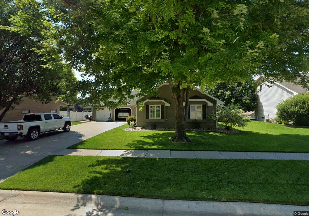
2101 Clark St Norfolk, NE 68701
Estimated Value: $331,738 - $371,000
3
Beds
2
Baths
1,499
Sq Ft
$237/Sq Ft
Est. Value
About This Home
This home is located at 2101 Clark St, Norfolk, NE 68701 and is currently estimated at $354,685, approximately $236 per square foot. 2101 Clark St is a home located in Madison County with nearby schools including Norfolk Senior High School, St. Paul's Lutheran School, and Norfolk Catholic School.
Ownership History
Date
Name
Owned For
Owner Type
Purchase Details
Closed on
Apr 1, 2011
Sold by
Easland Brian J and Easland Kimberly L
Bought by
Hoff Andrew J and Hoff Tonya J
Current Estimated Value
Home Financials for this Owner
Home Financials are based on the most recent Mortgage that was taken out on this home.
Original Mortgage
$159,300
Outstanding Balance
$110,517
Interest Rate
4.92%
Mortgage Type
New Conventional
Estimated Equity
$244,168
Purchase Details
Closed on
Jul 11, 2000
Sold by
Johnson Randall L and Johnson Deanna
Bought by
Easland Brain J and Easland Kinberly L
Create a Home Valuation Report for This Property
The Home Valuation Report is an in-depth analysis detailing your home's value as well as a comparison with similar homes in the area
Home Values in the Area
Average Home Value in this Area
Purchase History
| Date | Buyer | Sale Price | Title Company |
|---|---|---|---|
| Hoff Andrew J | $177,000 | None Available | |
| Easland Brain J | $137,000 | -- |
Source: Public Records
Mortgage History
| Date | Status | Borrower | Loan Amount |
|---|---|---|---|
| Open | Hoff Andrew J | $159,300 |
Source: Public Records
Tax History Compared to Growth
Tax History
| Year | Tax Paid | Tax Assessment Tax Assessment Total Assessment is a certain percentage of the fair market value that is determined by local assessors to be the total taxable value of land and additions on the property. | Land | Improvement |
|---|---|---|---|---|
| 2024 | $3,565 | $288,955 | $30,056 | $258,899 |
| 2023 | $5,071 | $274,300 | $30,056 | $244,244 |
| 2022 | $4,749 | $256,208 | $30,056 | $226,152 |
| 2021 | $4,395 | $237,535 | $30,056 | $207,479 |
| 2020 | $4,381 | $237,535 | $30,056 | $207,479 |
| 2019 | $4,243 | $222,166 | $30,056 | $192,110 |
| 2018 | $4,036 | $214,846 | $30,056 | $184,790 |
| 2017 | $3,766 | $200,211 | $30,056 | $170,155 |
| 2016 | $3,773 | $200,211 | $30,056 | $170,155 |
| 2015 | $3,774 | $200,211 | $30,056 | $170,155 |
| 2014 | $3,174 | $163,529 | $14,902 | $148,627 |
| 2013 | $3,082 | $153,806 | $14,902 | $138,904 |
Source: Public Records
Map
Nearby Homes
- 1400 Charolais Dr
- 1306 Hillview Dr
- 1116 Longhorn Dr
- 1407 Homewood Dr
- 1108 Longhorn Dr
- 1109 Longhorn Dr
- 1415 Charolais Dr
- 1104 Angus Dr
- 1705 Syracuse Ave
- 1704 Laurel Ln
- 1508 Homewood Dr
- 802 Ferguson Dr
- 1603 Charolais Dr
- 2311 Belmont Dr
- 2304 Highland Dr
- 1709 Skyline Dr
- 1203 Greenlawn Dr
- 1604 Bel Air Rd
- 1704 Homewood Dr
- 1706 Homewood Dr Unit 2114 Collegeview
- 2005 Clark St
- 2103 Clark St
- 2003 Clark St
- 2105 Clark St
- 1401 Charolais Dr
- 1205 Charolais Dr
- 2003 W Benjamin Ave
- 1400 Longhorn Dr
- 2107 Clark St
- 1403 Charolais Dr
- 1203 Charolais Dr
- 2102 Bel Air Rd
- 2001 Clark St
- 1209 Angus Dr
- 2000 Clark St
- 1402 Longhorn Dr
- 1204 Charolais Dr
- 2109 Clark St
- 1403 Hillview Dr
- 1405 Charolais Dr