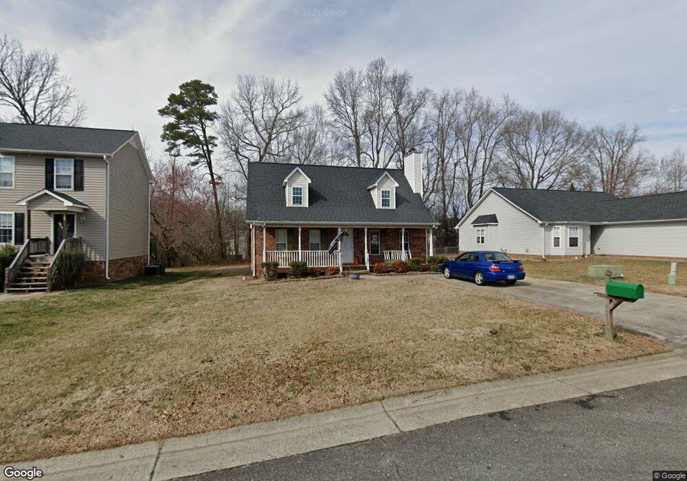
2101 Hogan Point Dr Winston Salem, NC 27127
Estimated Value: $258,000 - $301,000
3
Beds
4
Baths
2,512
Sq Ft
$110/Sq Ft
Est. Value
About This Home
This home is located at 2101 Hogan Point Dr, Winston Salem, NC 27127 and is currently estimated at $276,244, approximately $109 per square foot. 2101 Hogan Point Dr is a home located in Forsyth County with nearby schools including Kimmel Farm Elementary School, Flat Rock Middle, and Parkland High.
Ownership History
Date
Name
Owned For
Owner Type
Purchase Details
Closed on
May 18, 1999
Sold by
Venable Builders Inc
Bought by
Rollins Jonathan Michael
Current Estimated Value
Home Financials for this Owner
Home Financials are based on the most recent Mortgage that was taken out on this home.
Original Mortgage
$98,800
Outstanding Balance
$23,344
Interest Rate
6%
Estimated Equity
$252,900
Create a Home Valuation Report for This Property
The Home Valuation Report is an in-depth analysis detailing your home's value as well as a comparison with similar homes in the area
Home Values in the Area
Average Home Value in this Area
Purchase History
| Date | Buyer | Sale Price | Title Company |
|---|---|---|---|
| Rollins Jonathan Michael | $104,000 | -- |
Source: Public Records
Mortgage History
| Date | Status | Borrower | Loan Amount |
|---|---|---|---|
| Open | Rollins Jonathan Michael | $98,800 |
Source: Public Records
Tax History Compared to Growth
Tax History
| Year | Tax Paid | Tax Assessment Tax Assessment Total Assessment is a certain percentage of the fair market value that is determined by local assessors to be the total taxable value of land and additions on the property. | Land | Improvement |
|---|---|---|---|---|
| 2025 | $2,295 | $279,400 | $49,500 | $229,900 |
| 2024 | $2,190 | $163,600 | $34,500 | $129,100 |
| 2023 | $2,190 | $163,600 | $34,500 | $129,100 |
| 2022 | $2,149 | $163,600 | $34,500 | $129,100 |
| 2021 | $2,111 | $163,600 | $34,500 | $129,100 |
| 2020 | $1,852 | $126,800 | $25,000 | $101,800 |
| 2019 | $1,865 | $134,100 | $0 | $0 |
| 2018 | $1,771 | $126,800 | $25,000 | $101,800 |
| 2016 | $1,534 | $116,577 | $24,500 | $92,077 |
| 2015 | $1,511 | $116,577 | $24,500 | $92,077 |
| 2014 | $1,465 | $116,577 | $24,500 | $92,077 |
Source: Public Records
Map
Nearby Homes
- 4925 Lance Ridge Ln
- 4860 Manteo Ln
- 2067 Tiger Eye Ct
- 2067 Tiger Eye Ct Unit 6
- 2012 Tiger Eye Ct Unit 30
- 2012 Tiger Eye Ct
- 2030 Tiger Eye Ct
- 2030 Tiger Eye Ct Unit 27
- 131 Cahill Ct
- 131 Cahill Ct Unit 45
- Kane Plan at Border Creek - Terrace
- Kipling Plan at Border Creek - Terrace
- Reeves Plan at Border Creek - Terrace
- Vale Plan at Border Creek - Terrace
- Devin Plan at Border Creek - Terrace
- Liam Plan at Border Creek - Terrace
- TA4000 Plan at Border Creek - Terrace
- TA3000 Plan at Border Creek - Terrace
- Wakefield Plan at Border Creek - Terrace
- Jasper Plan at Border Creek - Terrace
- 2107 Hogan Point Dr
- 2043 Hogan Point Dr
- 5175 Brynfield Ct
- 2113 Hogan Point Dr
- 2037 Hogan Point Dr
- 5192 Brynfield Ct
- 105 Hogan Ln
- 5159 Brynfield Ct
- 100 Hogan Ln
- 2119 Hogan Point Dr
- 2031 Hogan Point Dr
- 5176 Brynfield Ct
- 5143 Brynfield Ct
- 115 Hogan Ln
- 5082 Hogan Point Ct
- 5127 Brynfield Ct
- 5160 Brynfield Ct
- 125 Hogan Ln
- 2018 Hogan Point Dr
- 2440 Hampton Hall Ln