Estimated Value: $311,000 - $334,089
--
Bed
--
Bath
1,040
Sq Ft
$308/Sq Ft
Est. Value
About This Home
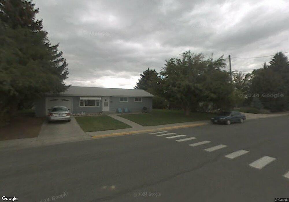
This home is located at 2101 Newton Ave, Cody, WY 82414 and is currently estimated at $320,363, approximately $308 per square foot. 2101 Newton Ave is a home located in Park County with nearby schools including Cody Middle School, Cody High School, and Park Christian Schools.
Ownership History
Date
Name
Owned For
Owner Type
Purchase Details
Closed on
Sep 2, 2021
Sold by
Callahan Gerald T and Callahan Leslie A
Bought by
Callahan Gerald T and Callahan Leslie A
Current Estimated Value
Purchase Details
Closed on
Aug 28, 2006
Sold by
Hazel Lester Eugene and Hazel Edna G
Bought by
Callahan Gerald T and Callahan Leslie A
Home Financials for this Owner
Home Financials are based on the most recent Mortgage that was taken out on this home.
Original Mortgage
$150,000
Outstanding Balance
$90,473
Interest Rate
6.75%
Mortgage Type
New Conventional
Estimated Equity
$229,890
Create a Home Valuation Report for This Property
The Home Valuation Report is an in-depth analysis detailing your home's value as well as a comparison with similar homes in the area
Home Values in the Area
Average Home Value in this Area
Purchase History
| Date | Buyer | Sale Price | Title Company |
|---|---|---|---|
| Callahan Gerald T | -- | None Available | |
| Callahan Gerald T | -- | None Available |
Source: Public Records
Mortgage History
| Date | Status | Borrower | Loan Amount |
|---|---|---|---|
| Open | Callahan Gerald T | $150,000 |
Source: Public Records
Tax History Compared to Growth
Tax History
| Year | Tax Paid | Tax Assessment Tax Assessment Total Assessment is a certain percentage of the fair market value that is determined by local assessors to be the total taxable value of land and additions on the property. | Land | Improvement |
|---|---|---|---|---|
| 2025 | $1,412 | $18,959 | $5,600 | $13,359 |
| 2024 | $1,832 | $24,594 | $7,467 | $17,127 |
| 2023 | $1,783 | $23,935 | $7,467 | $16,468 |
| 2022 | $1,603 | $21,344 | $7,467 | $13,877 |
| 2021 | $1,333 | $17,770 | $7,055 | $10,715 |
| 2020 | $1,318 | $17,574 | $7,055 | $10,519 |
| 2019 | $1,357 | $18,098 | $7,055 | $11,043 |
| 2018 | $1,285 | $17,138 | $7,055 | $10,083 |
| 2017 | $1,252 | $16,692 | $7,055 | $9,637 |
| 2016 | $1,208 | $16,110 | $6,627 | $9,483 |
| 2015 | $1,178 | $15,503 | $6,627 | $8,876 |
| 2014 | $1,204 | $15,151 | $6,627 | $8,524 |
Source: Public Records
Map
Nearby Homes
- TBD 21st St
- 1620 21st St
- 1119 19th St
- 2307 Carter Ave
- 1726 Alger Ave
- 2008 Loewer Ave Unit Lot 6
- 1632 20th St
- 2122 Peake Ave
- 2105 Stampede Ave
- 2855 Legacy Ln
- 2513 Newton Ave
- TBD Sheridan Ave Unit 1
- 2107 Gail Ln
- 2026 Shoshoni Trail N
- 919A B Blackburn St Unit A
- 2519 Beartooth Dr
- 1526 Beck Ave
- 2132 Cougar Ave
- 1826 18th St
- 1719 Bleistein Ave