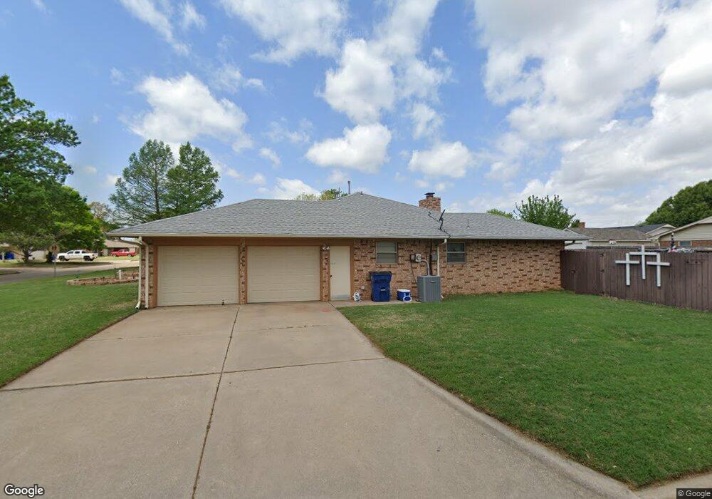
2101 W Amhurst Ave Duncan, OK 73533
Estimated Value: $184,000 - $207,000
3
Beds
2
Baths
1,907
Sq Ft
$101/Sq Ft
Est. Value
About This Home
This home is located at 2101 W Amhurst Ave, Duncan, OK 73533 and is currently estimated at $193,029, approximately $101 per square foot. 2101 W Amhurst Ave is a home located in Stephens County with nearby schools including Horace Mann Elementary School, Duncan Middle School, and Duncan High School.
Ownership History
Date
Name
Owned For
Owner Type
Purchase Details
Closed on
Mar 15, 2011
Sold by
Forbes Patricia Ann
Bought by
Battiest James and Battiest Sheryl
Current Estimated Value
Purchase Details
Closed on
Jul 27, 2009
Sold by
Taylor Ruth Aline
Bought by
Taylor Forbes Patricia Ann
Purchase Details
Closed on
Mar 12, 2000
Sold by
Taylor Stephen Douglas
Create a Home Valuation Report for This Property
The Home Valuation Report is an in-depth analysis detailing your home's value as well as a comparison with similar homes in the area
Home Values in the Area
Average Home Value in this Area
Purchase History
| Date | Buyer | Sale Price | Title Company |
|---|---|---|---|
| Battiest James | $115,000 | None Available | |
| Taylor Forbes Patricia Ann | -- | None Available | |
| -- | -- | -- |
Source: Public Records
Tax History Compared to Growth
Tax History
| Year | Tax Paid | Tax Assessment Tax Assessment Total Assessment is a certain percentage of the fair market value that is determined by local assessors to be the total taxable value of land and additions on the property. | Land | Improvement |
|---|---|---|---|---|
| 2025 | -- | $14,478 | $1,222 | $13,256 |
| 2024 | -- | $14,056 | $1,222 | $12,834 |
| 2023 | $0 | $14,056 | $1,222 | $12,834 |
| 2022 | $0 | $13,647 | $1,222 | $12,425 |
| 2021 | $896 | $12,864 | $1,222 | $11,642 |
| 2020 | $896 | $13,270 | $1,222 | $12,048 |
| 2019 | $1,118 | $13,278 | $1,222 | $12,056 |
| 2018 | $0 | $13,873 | $1,222 | $12,651 |
| 2017 | $0 | $13,077 | $1,222 | $11,855 |
| 2016 | $1,118 | $13,066 | $1,222 | $11,844 |
| 2015 | $1,118 | $13,066 | $1,222 | $11,844 |
| 2014 | $1,118 | $12,809 | $1,172 | $11,637 |
Source: Public Records
Map
Nearby Homes
- 1212 N 21st St
- 1309 Whisenant Ct
- 1902 W Randall Ave
- 1807 W Chisholm Dr
- 1099 N 19th St
- 2204 W Parkview Ave
- 2202 W Canary Ave
- 2206 W Spruce Ave
- 2120 Flamingo Ln
- 2203 Canary Ave
- 2210 Western Dr
- 2129 W Mallard Dr
- 507 N Alice Dr
- 1405 Evergreen Dr
- 2201 Mallard
- 1404 Aspen Ave
- 815 N 14th St
- 2360 Rockwell Dr
- 2321 Rockwell Dr
- 2407 W Mallard Dr
- 2103 W Amhurst Ave
- 1215 N 21st St
- 2102 W Amhurst Ave
- 2104 W Scott Ln
- 1212 1212 N 21st
- 1210 N 21st St
- 2105 W Amhurst Ave
- 2102 W Amhurst Ave
- 1214 N 21st St
- 1208 N 21st St
- 2104 W Amhurst Ave
- 2106 W Scott Ln
- 1216 N 21st St
- 2107 W Amhurst Ave
- 2106 W Amhurst Ave
- 1206 N 21st St
- 2108 W Scott Ln
- 1211 N 20th St
- 1213 N 20th St
- 1209 N 20th St