21010 NE 233rd Ave Battle Ground, WA 98604
Estimated Value: $1,017,000 - $1,127,000
3
Beds
3
Baths
3,212
Sq Ft
$334/Sq Ft
Est. Value
About This Home
This home is located at 21010 NE 233rd Ave, Battle Ground, WA 98604 and is currently estimated at $1,071,538, approximately $333 per square foot. 21010 NE 233rd Ave is a home located in Clark County with nearby schools including Tukes Valley Primary School, Tukes Valley Middle School, and Battle Ground High School.
Ownership History
Date
Name
Owned For
Owner Type
Purchase Details
Closed on
Oct 13, 2016
Sold by
Leakey Michael E and Leakey Jodi K
Bought by
Sutton Robert L and Sutton Kimberly D
Current Estimated Value
Home Financials for this Owner
Home Financials are based on the most recent Mortgage that was taken out on this home.
Original Mortgage
$500,140
Outstanding Balance
$400,956
Interest Rate
3.46%
Mortgage Type
New Conventional
Estimated Equity
$670,582
Purchase Details
Closed on
Feb 5, 2014
Sold by
Becker David R and Becker Carolyn D
Bought by
Leakey Michael E and Leakey Jodi K
Home Financials for this Owner
Home Financials are based on the most recent Mortgage that was taken out on this home.
Original Mortgage
$417,000
Interest Rate
4.49%
Mortgage Type
New Conventional
Create a Home Valuation Report for This Property
The Home Valuation Report is an in-depth analysis detailing your home's value as well as a comparison with similar homes in the area
Home Values in the Area
Average Home Value in this Area
Purchase History
| Date | Buyer | Sale Price | Title Company |
|---|---|---|---|
| Sutton Robert L | $601,000 | Stewart Title Vancouver | |
| Leakey Michael E | $521,400 | Stewart Title |
Source: Public Records
Mortgage History
| Date | Status | Borrower | Loan Amount |
|---|---|---|---|
| Open | Sutton Robert L | $500,140 | |
| Previous Owner | Leakey Michael E | $417,000 |
Source: Public Records
Tax History Compared to Growth
Tax History
| Year | Tax Paid | Tax Assessment Tax Assessment Total Assessment is a certain percentage of the fair market value that is determined by local assessors to be the total taxable value of land and additions on the property. | Land | Improvement |
|---|---|---|---|---|
| 2025 | $7,610 | $967,826 | $278,037 | $689,789 |
| 2024 | $6,974 | $921,379 | $278,037 | $643,342 |
| 2023 | $7,544 | $968,214 | $281,897 | $686,317 |
| 2022 | $7,137 | $957,430 | $260,906 | $696,524 |
| 2021 | $6,920 | $789,061 | $186,629 | $602,432 |
| 2020 | $6,842 | $699,303 | $199,547 | $499,756 |
| 2019 | $5,889 | $674,508 | $188,244 | $486,264 |
| 2018 | $6,697 | $667,090 | $0 | $0 |
| 2017 | $6,007 | $577,464 | $0 | $0 |
| 2016 | $5,931 | $566,008 | $0 | $0 |
| 2015 | $5,997 | $512,989 | $0 | $0 |
| 2014 | -- | $490,707 | $0 | $0 |
| 2013 | -- | $83,017 | $0 | $0 |
Source: Public Records
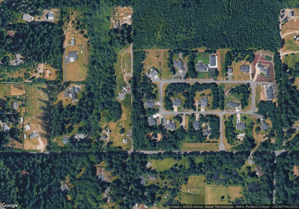
Map
Nearby Homes
- 20304 NE 237th Ave
- 20502 NE 225th Ave
- 22400 NE 216th Cir
- 22414 NE 200th St
- 24415 NE 219th St
- 24104 NE 199th St
- 24312 NE 224th St
- 25205 NE 209th St
- 0 NE 212th Ave
- 25116 NE Olson Rd
- 24812 NE Berlin Rd
- 21017 NE Risto Rd
- 22020 NE 260th Place
- 23417 NE Canyon Rd
- 22824 NE 254th Ct
- 22510 NE Alder Falls Rd
- 25510 NE 230th St
- 21821 NE Rock Creek Canyon Rd
- 24020 NE Alvas Rd
- 26315 NE 222nd Cir
- 0 NE 233rd Ave Unit 10023234
- 21000 NE 233rd Ave
- 23300 NE 210th St
- 23301 NE 210th St
- 21112 NE 233rd Ave
- 21100 NE 232nd Ave
- 10 NE 210 St
- 0 NE 211th St Unit 20238099
- 0 NE 211th St Unit 10023231
- 0 NE 211th St Unit 7 9068347
- 0 NE 211th St Unit 6 9068344
- 0 NE 211th St Unit 5 9068340
- 0 NE 211th St Unit 10014997
- 0 NE 211th St Unit 10014991
- 0 NE 211th St Unit 10014990
- 0 NE 211th St Unit 10014984
- 8 NE 211th St
- 7 NE 211th St
- 0 NE 211th St Unit 5 13652664
- 0 NE 211th St Unit 4