21011 Houston Rd Glouster, OH 45732
Estimated Value: $104,566 - $245,000
1
Bed
1
Bath
1,219
Sq Ft
$156/Sq Ft
Est. Value
About This Home
This home is located at 21011 Houston Rd, Glouster, OH 45732 and is currently estimated at $190,522, approximately $156 per square foot. 21011 Houston Rd is a home located in Athens County with nearby schools including Trimble Elementary School, Trimble Middle School, and Trimble High School.
Ownership History
Date
Name
Owned For
Owner Type
Purchase Details
Closed on
Sep 30, 2022
Sold by
Hinkel Dwight
Bought by
Butts Barbara K
Current Estimated Value
Purchase Details
Closed on
Jan 24, 2002
Sold by
Hinkel Dwight
Bought by
Hinkle Dwight and Hinkle Brenda A
Purchase Details
Closed on
Sep 1, 1991
Create a Home Valuation Report for This Property
The Home Valuation Report is an in-depth analysis detailing your home's value as well as a comparison with similar homes in the area
Home Values in the Area
Average Home Value in this Area
Purchase History
| Date | Buyer | Sale Price | Title Company |
|---|---|---|---|
| Butts Barbara K | -- | -- | |
| Butts Barbara K | -- | None Listed On Document | |
| Hinkle Dwight | -- | -- | |
| -- | $8,000 | -- |
Source: Public Records
Tax History Compared to Growth
Tax History
| Year | Tax Paid | Tax Assessment Tax Assessment Total Assessment is a certain percentage of the fair market value that is determined by local assessors to be the total taxable value of land and additions on the property. | Land | Improvement |
|---|---|---|---|---|
| 2024 | $880 | $20,750 | $10,210 | $10,540 |
| 2023 | $864 | $20,750 | $10,210 | $10,540 |
| 2022 | $771 | $17,790 | $8,510 | $9,280 |
| 2021 | $789 | $17,790 | $8,510 | $9,280 |
| 2020 | $762 | $17,790 | $8,510 | $9,280 |
| 2019 | $734 | $16,500 | $7,470 | $9,030 |
| 2018 | $809 | $16,500 | $7,470 | $9,030 |
| 2017 | $1,100 | $16,500 | $7,470 | $9,030 |
| 2016 | $769 | $15,760 | $6,790 | $8,970 |
| 2015 | $1,042 | $15,760 | $6,790 | $8,970 |
| 2014 | $1,042 | $15,760 | $6,790 | $8,970 |
| 2013 | $536 | $9,260 | $5,500 | $3,760 |
Source: Public Records
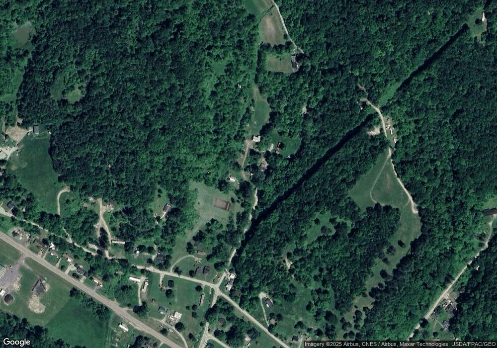
Map
Nearby Homes
- 31 Locust St
- 140 Sycamore St
- 33 S High St
- 93 Main St
- 88 Front St
- 10271 Antle Orchard Rd
- 0 Greens Run Rd
- 19477 Center
- 13899 Locust St
- 19500 Lake Dr
- 45747 Long St
- 0 Red Rock Rd
- 6 E Main St
- 11789 Congress Run Rd
- 18242 Ohio 13
- 0 Oregon Ridge Rd Unit 23564746
- Lambert Rd
- 0 Marietta Ave
- 17795 N Akron Ave
- 44438 Carbon Hill Buchtel Rd
- 8544 Moscatord
- 21061 Houston Rd
- 21081 Fady Rd
- 21065 Houston Rd
- 8550 Hunterdon Rd
- 8594 Hunterdon Rd
- 8532 Hunterdon Rd
- 8612 Hunterdon Rd
- 21195 Fady Rd
- 21120 Houston Rd
- 8577 Old State Route 78
- 8577 Old State Route 78
- 8656 Hunterdon Rd
- 8534 State Route 78
- SR78 Highway
- 8599 Old State Route 78
- 8670 Hollister Rd
- 20896 Houston Rd
- 8432 State Route 78
- 8684 Old State Route 78