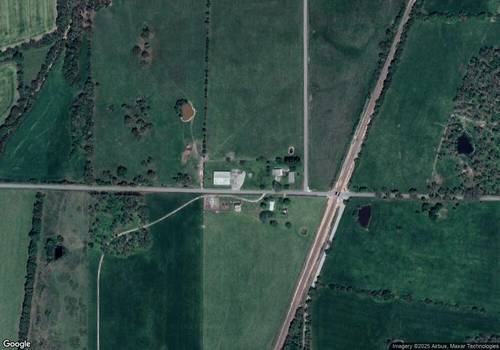
21013 Owl Dr Lebanon, MO 65536
Estimated Value: $205,000 - $304,128
3
Beds
--
Bath
1,995
Sq Ft
$128/Sq Ft
Est. Value
About This Home
This home is located at 21013 Owl Dr, Lebanon, MO 65536 and is currently estimated at $254,564, approximately $127 per square foot. 21013 Owl Dr is a home located in Laclede County with nearby schools including Joel E. Barber Elementary School.
Ownership History
Date
Name
Owned For
Owner Type
Purchase Details
Closed on
Jul 13, 2007
Sold by
Ogle Donald
Bought by
Butler Cylinda L
Current Estimated Value
Home Financials for this Owner
Home Financials are based on the most recent Mortgage that was taken out on this home.
Original Mortgage
$206,522
Outstanding Balance
$128,475
Interest Rate
6.41%
Mortgage Type
Future Advance Clause Open End Mortgage
Estimated Equity
$126,089
Create a Home Valuation Report for This Property
The Home Valuation Report is an in-depth analysis detailing your home's value as well as a comparison with similar homes in the area
Home Values in the Area
Average Home Value in this Area
Purchase History
| Date | Buyer | Sale Price | Title Company |
|---|---|---|---|
| Butler Cylinda L | -- | None Available |
Source: Public Records
Mortgage History
| Date | Status | Borrower | Loan Amount |
|---|---|---|---|
| Open | Butler Cylinda L | $206,522 |
Source: Public Records
Tax History Compared to Growth
Tax History
| Year | Tax Paid | Tax Assessment Tax Assessment Total Assessment is a certain percentage of the fair market value that is determined by local assessors to be the total taxable value of land and additions on the property. | Land | Improvement |
|---|---|---|---|---|
| 2025 | $619 | $30,470 | $0 | $0 |
| 2024 | $619 | $13,410 | $0 | $0 |
| 2023 | $642 | $13,410 | $0 | $0 |
| 2022 | $588 | $13,410 | $0 | $0 |
| 2021 | $628 | $9,456 | $1,464 | $7,992 |
| 2020 | $632 | $9,456 | $1,464 | $7,992 |
| 2019 | $638 | $13,410 | $1,870 | $11,540 |
| 2018 | $608 | $13,470 | $1,930 | $11,540 |
| 2017 | $610 | $13,470 | $0 | $0 |
| 2016 | $610 | $13,470 | $0 | $0 |
| 2015 | $610 | $13,470 | $0 | $0 |
| 2014 | $610 | $13,420 | $0 | $0 |
| 2013 | -- | $13,420 | $0 | $0 |
Source: Public Records
Map
Nearby Homes
- 18042 Highway 32
- 2301 Cranberry Ln
- 19513 Route 66
- 2176 Beck Ln
- 1328 Linda Cir
- 1225 Applelane Dr
- 0 Ivey Ln Unit MIS25060889
- 1215 Glenridge St Unit 5, 6, 7, 8, 9
- 23119 Oneida Dr
- TBD Phillips Dr
- 000 U S Route 66
- 1211 W Elm St
- 1507 Finn Dr
- 1511 Rader Dr
- 1 Ice Cream Way
- 3 Ice Cream Way
- 4 Ice Cream Way
- 1171 W Elm St
- 19511 Elder Rd
- 16525 Finch Rd
- 20741 Olivewood Dr
- 21449 Owl Dr
- 18469 Equestrian Rd
- 21651 Owl Dr
- 21725 Owl Dr
- 17210 Equestrian Rd
- 17166 Equestrian Rd
- 21775 Owl Dr
- 21799 Owl Dr
- 17230 Highway 32
- 37365 Outback Ln
- 17462 Highway 32
- 20728 Neosho Dr
- 21768 Owl Dr
- 20674 Neosho Dr
- 17224 Missouri 32
- 17224 Highway 32
- 20841 Neosho Dr
- 17098 Highway 32
- 20626 Neosho Dr
