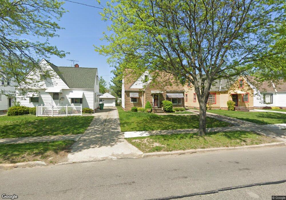
21015 Libby Rd Maple Heights, OH 44137
Estimated Value: $81,000 - $117,000
2
Beds
1
Bath
754
Sq Ft
$130/Sq Ft
Est. Value
About This Home
This home is located at 21015 Libby Rd, Maple Heights, OH 44137 and is currently estimated at $97,911, approximately $129 per square foot. 21015 Libby Rd is a home located in Cuyahoga County with nearby schools including Abraham Lincoln Elementary School, Rockside/ J.F. Kennedy School, and Barack Obama School.
Ownership History
Date
Name
Owned For
Owner Type
Purchase Details
Closed on
Mar 7, 2017
Sold by
Strnad Edward H
Bought by
Strnad Allen E and Strnad John E
Current Estimated Value
Purchase Details
Closed on
Feb 3, 1995
Sold by
Marnick Robert P
Bought by
Young Michael S
Purchase Details
Closed on
Jan 31, 1979
Sold by
Salvo Calogero
Bought by
Marnick Raobert P
Purchase Details
Closed on
Nov 9, 1976
Sold by
Bardy Dorothy M
Bought by
Salvo Calogero
Purchase Details
Closed on
Jan 14, 1976
Sold by
Bardy Dorothy M
Bought by
Bardy Dorothy M
Purchase Details
Closed on
Jan 1, 1975
Bought by
Bardy Dorothy M
Create a Home Valuation Report for This Property
The Home Valuation Report is an in-depth analysis detailing your home's value as well as a comparison with similar homes in the area
Home Values in the Area
Average Home Value in this Area
Purchase History
| Date | Buyer | Sale Price | Title Company |
|---|---|---|---|
| Strnad Allen E | -- | None Available | |
| Young Michael S | $58,000 | -- | |
| Marnick Raobert P | $39,800 | -- | |
| Salvo Calogero | $31,000 | -- | |
| Bardy Dorothy M | -- | -- | |
| Bardy Dorothy M | -- | -- |
Source: Public Records
Mortgage History
| Date | Status | Borrower | Loan Amount |
|---|---|---|---|
| Closed | Young Michael S | -- |
Source: Public Records
Tax History
| Year | Tax Paid | Tax Assessment Tax Assessment Total Assessment is a certain percentage of the fair market value that is determined by local assessors to be the total taxable value of land and additions on the property. | Land | Improvement |
|---|---|---|---|---|
| 2024 | $2,886 | $31,500 | $5,075 | $26,425 |
| 2023 | $2,171 | $19,990 | $3,500 | $16,490 |
| 2022 | $2,164 | $19,985 | $3,500 | $16,485 |
| 2021 | $2,304 | $19,990 | $3,500 | $16,490 |
| 2020 | $1,975 | $15,160 | $2,660 | $12,500 |
| 2019 | $1,964 | $43,300 | $7,600 | $35,700 |
| 2018 | $1,906 | $15,160 | $2,660 | $12,500 |
| 2017 | $2,008 | $15,330 | $2,450 | $12,880 |
| 2016 | $1,943 | $15,330 | $2,450 | $12,880 |
| 2015 | $1,941 | $15,330 | $2,450 | $12,880 |
| 2014 | $1,941 | $16,840 | $2,700 | $14,140 |
Source: Public Records
Map
Nearby Homes
- 21202 Gardenview Dr
- 20806 Clare Ave
- 20905 Clare Ave
- 21202 Hillgrove Ave
- 21607 Libby Rd
- 21207 Franklin Rd
- 21600 Franklin Rd
- 5147 Warrensville Center Rd
- 21860 Louis Rd
- 20517 Raymond St
- 20600 Watson Rd
- 20715 Watson Rd
- 20705 Hansen Rd
- 20648 Donny Brook Rd
- 19931 Raymond St
- 19289 Stafford Ave
- 19520 Maple Heights Blvd
- 5424 Fairtree Rd
- 19113 Watercrest Ave
- 5165 Camden Rd
- 21019 Libby Rd
- 21011 Libby Rd
- 21103 Libby Rd
- 21007 Libby Rd
- 21014 Gardenview Dr
- 21107 Libby Rd
- 21016 Gardenview Dr
- 21010 Gardenview Dr
- 21003 Libby Rd
- 21102 Gardenview Dr
- 21006 Gardenview Dr
- 21111 Libby Rd
- 20919 Libby Rd
- 21106 Gardenview Dr
- 21000 Gardenview Dr
- 21110 Gardenview Dr
- 21115 Libby Rd
- 20915 Libby Rd
- 20916 Gardenview Dr
- 21112 Gardenview Dr
Your Personal Tour Guide
Ask me questions while you tour the home.