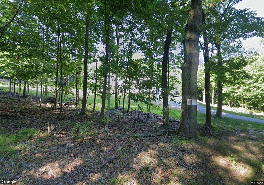
21015 Mousetown Rd Boonsboro, MD 21713
Estimated Value: $716,000 - $929,000
--
Bed
1
Bath
3,842
Sq Ft
$223/Sq Ft
Est. Value
About This Home
This home is located at 21015 Mousetown Rd, Boonsboro, MD 21713 and is currently estimated at $857,855, approximately $223 per square foot. 21015 Mousetown Rd is a home with nearby schools including Boonsboro Elementary School, Boonsboro Middle School, and Boonsboro High School.
Ownership History
Date
Name
Owned For
Owner Type
Purchase Details
Closed on
Apr 9, 2021
Sold by
Smith John V and Smith Linda L
Bought by
Hall Andrea Michelle and Hall Jason L
Current Estimated Value
Home Financials for this Owner
Home Financials are based on the most recent Mortgage that was taken out on this home.
Original Mortgage
$104,000
Outstanding Balance
$87,930
Interest Rate
4.23%
Mortgage Type
New Conventional
Estimated Equity
$769,925
Create a Home Valuation Report for This Property
The Home Valuation Report is an in-depth analysis detailing your home's value as well as a comparison with similar homes in the area
Home Values in the Area
Average Home Value in this Area
Purchase History
| Date | Buyer | Sale Price | Title Company |
|---|---|---|---|
| Hall Andrea Michelle | $130,000 | Antietam Title & Escrow Inc |
Source: Public Records
Mortgage History
| Date | Status | Borrower | Loan Amount |
|---|---|---|---|
| Open | Hall Andrea Michelle | $104,000 |
Source: Public Records
Tax History Compared to Growth
Tax History
| Year | Tax Paid | Tax Assessment Tax Assessment Total Assessment is a certain percentage of the fair market value that is determined by local assessors to be the total taxable value of land and additions on the property. | Land | Improvement |
|---|---|---|---|---|
| 2025 | $7,532 | $766,000 | $0 | $0 |
| 2024 | $7,532 | $729,500 | $122,900 | $606,600 |
| 2023 | $7,089 | $678,933 | $0 | $0 |
| 2022 | $1,043 | $94,900 | $94,900 | $0 |
| 2021 | $1,107 | $104,400 | $104,400 | $0 |
| 2020 | $1,107 | $104,400 | $104,400 | $0 |
| 2019 | $1,107 | $104,400 | $104,400 | $0 |
| 2018 | $1,107 | $104,400 | $104,400 | $0 |
| 2017 | $1,107 | $104,400 | $0 | $0 |
| 2016 | -- | $104,400 | $0 | $0 |
| 2015 | $1,357 | $104,400 | $0 | $0 |
| 2014 | $1,357 | $104,400 | $0 | $0 |
Source: Public Records
Map
Nearby Homes
- 144 S Main St
- 108 S Main St
- 103 Saint Paul St
- 108 Saint Paul St
- 126 Lakin Ave
- 216 Midlothian Way
- 110 Lakin Ave
- 16 Ford Ave
- 122 Orchard Dr
- 20 Potomac St
- 40 N Main St
- 6408 Zittlestown Rd
- 28 Potomac St
- 113 Orchard Dr
- 26 Young Ave
- 114 Potomac St
- 123 Potomac St
- 20724 Netz Rd
- 6346 Zittlestown Rd
- 201 Sinnesin Dr
- 21009 Mousetown Rd
- 21013 Mousetown Rd
- 20977 Mousetown Rd
- 21118 Mousetown Rd
- 20968 Mousetown Rd
- 21117 Mousetown Rd
- 7237 C Gilardi Rd
- 6612 Gilardi Rd
- 21012 Mousetown Rd
- 6826 Gilardi Rd
- 6610 Gilardi Rd
- 6654 Gilardi Rd
- 20912 Mousetown Rd
- 6638 Gilardi Rd
- 6760 Gilardi Rd
- 6632 Gilardi Rd
- 6633 Old National Pike
- 7004 Gilardi Rd
- 6906 Mariah Furnace Rd
- 6910 Mariah Furnace Rd
