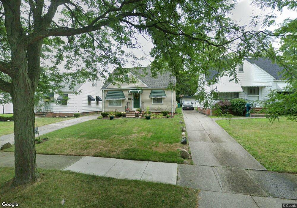
21015 Raymond St Maple Heights, OH 44137
Estimated Value: $100,000 - $155,000
3
Beds
1
Bath
1,192
Sq Ft
$101/Sq Ft
Est. Value
About This Home
This home is located at 21015 Raymond St, Maple Heights, OH 44137 and is currently estimated at $120,667, approximately $101 per square foot. 21015 Raymond St is a home located in Cuyahoga County with nearby schools including Abraham Lincoln Elementary School, Rockside/ J.F. Kennedy School, and Italy High School.
Ownership History
Date
Name
Owned For
Owner Type
Purchase Details
Closed on
Aug 4, 2006
Sold by
Washington Caldwell W and Washington Jennifer D
Bought by
Neal Joyce A
Current Estimated Value
Home Financials for this Owner
Home Financials are based on the most recent Mortgage that was taken out on this home.
Original Mortgage
$97,500
Outstanding Balance
$58,823
Interest Rate
6.85%
Mortgage Type
Purchase Money Mortgage
Estimated Equity
$61,844
Purchase Details
Closed on
Sep 25, 1987
Sold by
Glendenning Craig
Bought by
Washington Caldwell W
Purchase Details
Closed on
Jul 25, 1977
Sold by
Glendenning Craig and D J
Bought by
Glendenning Craig
Purchase Details
Closed on
Jan 1, 1975
Bought by
Glendenning Craig and D J
Create a Home Valuation Report for This Property
The Home Valuation Report is an in-depth analysis detailing your home's value as well as a comparison with similar homes in the area
Home Values in the Area
Average Home Value in this Area
Purchase History
| Date | Buyer | Sale Price | Title Company |
|---|---|---|---|
| Neal Joyce A | $97,500 | Barristers Title Agency | |
| Washington Caldwell W | $52,900 | -- | |
| Glendenning Craig | -- | -- | |
| Glendenning Craig | -- | -- |
Source: Public Records
Mortgage History
| Date | Status | Borrower | Loan Amount |
|---|---|---|---|
| Open | Neal Joyce A | $97,500 |
Source: Public Records
Tax History Compared to Growth
Tax History
| Year | Tax Paid | Tax Assessment Tax Assessment Total Assessment is a certain percentage of the fair market value that is determined by local assessors to be the total taxable value of land and additions on the property. | Land | Improvement |
|---|---|---|---|---|
| 2024 | $1,937 | $30,800 | $6,965 | $23,835 |
| 2023 | $1,350 | $21,320 | $3,990 | $17,330 |
| 2022 | $1,383 | $21,320 | $3,990 | $17,330 |
| 2021 | $1,471 | $21,320 | $3,990 | $17,330 |
| 2020 | $1,037 | $16,140 | $3,010 | $13,130 |
| 2019 | $1,140 | $46,100 | $8,600 | $37,500 |
| 2018 | $2,057 | $16,140 | $3,010 | $13,130 |
| 2017 | $2,008 | $15,330 | $2,800 | $12,530 |
| 2016 | $1,943 | $15,050 | $2,800 | $12,250 |
| 2015 | $1,910 | $15,050 | $2,800 | $12,250 |
| 2014 | $1,910 | $16,520 | $3,080 | $13,440 |
Source: Public Records
Map
Nearby Homes
- 21102 Raymond St
- 21207 Franklin Rd
- 20814 Watson Rd
- 20907 Watson Rd
- 20715 Watson Rd
- 20814 Kenyon Dr
- 20701 Kenyon Dr
- 21416 Gardenview Dr
- 20510 Mountville Dr
- 20120 Mccracken Rd
- 20107 Libby Rd
- 19807 Gardenview Dr
- 19806 Mountville Dr
- 19812 Stockton Ave
- 19520 Maple Heights Blvd
- 5285 Mardale Ave
- 5301 Mardale Ave
- 19309 Nitra Ave
- 20750 Bowling Green Rd
- 5165 Camden Rd
- 21019 Raymond St
- 21011 Raymond St
- 21007 Raymond St
- 21107 Raymond St
- 21003 Raymond St
- 21016 Watson Rd
- 21012 Watson Rd
- 21104 Watson Rd
- 21008 Watson Rd
- 20917 Raymond St
- 21111 Raymond St
- 21004 Watson Rd
- 21108 Watson Rd
- 21014 Raymond St
- 21010 Raymond St
- 21006 Raymond St
- 21115 Raymond St
- 20913 Raymond St
- 21000 Watson Rd
- 21112 Watson Rd