21016 Esperson Rd Little Flock, AR 72756
Estimated Value: $298,000 - $598,000
3
Beds
2
Baths
2,000
Sq Ft
$222/Sq Ft
Est. Value
About This Home
This home is located at 21016 Esperson Rd, Little Flock, AR 72756 and is currently estimated at $443,317, approximately $221 per square foot. 21016 Esperson Rd is a home located in Benton County with nearby schools including Eastside Elementary School, Lingle Middle School, and Rogers Heritage High School.
Ownership History
Date
Name
Owned For
Owner Type
Purchase Details
Closed on
Jun 29, 2020
Sold by
Commissioner Of State Lands
Bought by
Richard R Meisner Revocable Tr
Current Estimated Value
Purchase Details
Closed on
Apr 15, 2015
Bought by
Meisner Rev Tr
Purchase Details
Closed on
Feb 17, 1995
Bought by
West
Purchase Details
Closed on
Mar 18, 1992
Bought by
Saxton Tr
Purchase Details
Closed on
Mar 19, 1987
Bought by
Saxton
Create a Home Valuation Report for This Property
The Home Valuation Report is an in-depth analysis detailing your home's value as well as a comparison with similar homes in the area
Home Values in the Area
Average Home Value in this Area
Purchase History
| Date | Buyer | Sale Price | Title Company |
|---|---|---|---|
| Meisner Rev Tr | -- | -- | |
| West | $125,000 | -- | |
| Saxton Tr | -- | -- | |
| Saxton | $25,000 | -- | |
| Richard R Meisner Revocable Tr | $2,200 | None Listed On Document |
Source: Public Records
Tax History Compared to Growth
Tax History
| Year | Tax Paid | Tax Assessment Tax Assessment Total Assessment is a certain percentage of the fair market value that is determined by local assessors to be the total taxable value of land and additions on the property. | Land | Improvement |
|---|---|---|---|---|
| 2025 | $885 | $34,712 | $7,045 | $27,667 |
| 2024 | $834 | $34,712 | $7,045 | $27,667 |
| 2023 | $834 | $21,760 | $2,490 | $19,270 |
| 2022 | $525 | $21,760 | $2,490 | $19,270 |
| 2021 | $523 | $21,760 | $2,490 | $19,270 |
| 2020 | $525 | $17,370 | $2,270 | $15,100 |
| 2019 | $525 | $30,150 | $2,270 | $27,880 |
| 2018 | $1,210 | $30,150 | $2,270 | $27,880 |
| 2017 | $1,023 | $30,150 | $2,270 | $27,880 |
| 2016 | $1,023 | $30,150 | $2,270 | $27,880 |
| 2015 | $1,309 | $27,210 | $1,320 | $25,890 |
| 2014 | $963 | $27,210 | $1,320 | $25,890 |
Source: Public Records
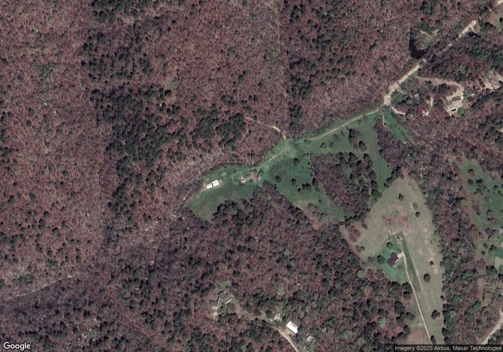
Map
Nearby Homes
- 22058 E Highway 12
- 11225 Sheppard Place Rd
- 0 Sheppard Place Rd
- 22110 Arkansas 12
- 22198 Arkansas 12
- TBD Cavern Dr
- 0 Cavern Dr Unit 1302159
- 000 Rock Rd
- 0 War Eagle Black Top Rd Unit 1329543
- 9001 Valleyview Dr
- 9324 Tomerlin Grist Mill Rd
- 0 Cobble Ln
- 0 Dogwood Rd
- 20564 Dogwood Rd
- 20503 White Oak Rd
- 0 Best Creek Rd
- 20235 Copper Ridge Rd
- 642 Madison 8050
- Lots 14 & 15 Rocky Branch Rd
- lots 8-10 Rocky Branch Rd
- 21016 Esperson Ln
- 0 Withheld Unit 1159865
- 5.1Ac Esperson Rd
- 21979 Bell Ln
- 21981 Bell Ln
- 21875 E Highway 12
- 21975 Bell Ln
- 0 St
- 0 Bell Ln
- 0 Esperson Rd Unit 491504
- 0 Esperson Rd Unit 1079216
- 21968 Bell Ln
- 2101 Bell Rd
- 102 Bell Ln
- 21721 Arkansas 12
- 21721 E Highway 12
- 22Ac Esperson Rd
- 21401 Esperson Rd
- 10602 Sheppard Place Rd
- 21850 E Highway 12