21017 NE 221st St Battle Ground, WA 98604
Estimated Value: $756,000 - $817,000
4
Beds
3
Baths
2,654
Sq Ft
$296/Sq Ft
Est. Value
About This Home
This home is located at 21017 NE 221st St, Battle Ground, WA 98604 and is currently estimated at $786,384, approximately $296 per square foot. 21017 NE 221st St is a home located in Clark County with nearby schools including Tukes Valley Primary School, Tukes Valley Middle School, and Battle Ground High School.
Ownership History
Date
Name
Owned For
Owner Type
Purchase Details
Closed on
Jul 11, 2012
Sold by
Patchett Theodora Catherine and Patchett Douglas James
Bought by
Akers Mathew L and Akers Megan
Current Estimated Value
Home Financials for this Owner
Home Financials are based on the most recent Mortgage that was taken out on this home.
Original Mortgage
$219,450
Outstanding Balance
$151,698
Interest Rate
3.7%
Mortgage Type
New Conventional
Estimated Equity
$634,686
Purchase Details
Closed on
Mar 29, 1999
Sold by
Patchett James A and Patchett Janet L
Bought by
Patchett James A and Patchett Janet L
Purchase Details
Closed on
Jan 7, 1997
Sold by
Keezer Arthur F and Keezer Jonnie L
Bought by
Patchett James A and Patchett Janet L
Home Financials for this Owner
Home Financials are based on the most recent Mortgage that was taken out on this home.
Original Mortgage
$184,000
Interest Rate
7.53%
Create a Home Valuation Report for This Property
The Home Valuation Report is an in-depth analysis detailing your home's value as well as a comparison with similar homes in the area
Home Values in the Area
Average Home Value in this Area
Purchase History
| Date | Buyer | Sale Price | Title Company |
|---|---|---|---|
| Akers Mathew L | $285,000 | Clark County Title Co | |
| Patchett James A | -- | -- | |
| Patchett James A | $267,581 | Chicago Title Insurance Co |
Source: Public Records
Mortgage History
| Date | Status | Borrower | Loan Amount |
|---|---|---|---|
| Open | Akers Mathew L | $219,450 | |
| Previous Owner | Patchett James A | $184,000 |
Source: Public Records
Tax History Compared to Growth
Tax History
| Year | Tax Paid | Tax Assessment Tax Assessment Total Assessment is a certain percentage of the fair market value that is determined by local assessors to be the total taxable value of land and additions on the property. | Land | Improvement |
|---|---|---|---|---|
| 2025 | $5,546 | $696,325 | $264,356 | $431,969 |
| 2024 | $4,944 | $663,643 | $264,356 | $399,287 |
| 2023 | $5,073 | $678,867 | $273,788 | $405,079 |
| 2022 | $4,749 | $636,987 | $231,164 | $405,823 |
| 2021 | $4,769 | $519,136 | $166,454 | $352,682 |
| 2020 | $4,647 | $477,345 | $177,708 | $299,637 |
| 2019 | $4,058 | $453,688 | $167,860 | $285,828 |
| 2018 | $4,365 | $454,571 | $0 | $0 |
| 2017 | $3,768 | $372,403 | $0 | $0 |
| 2016 | $3,683 | $350,523 | $0 | $0 |
| 2015 | $3,668 | $314,351 | $0 | $0 |
| 2014 | -- | $296,200 | $0 | $0 |
| 2013 | -- | $262,937 | $0 | $0 |
Source: Public Records
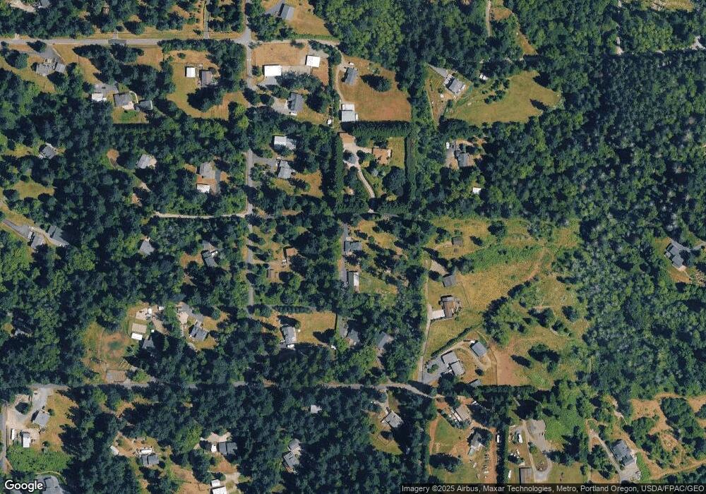
Map
Nearby Homes
- 0 NE 212th Ave
- 22400 NE 216th Cir
- 20015 NE 234th St
- 21017 NE Risto Rd
- 21821 NE Rock Creek Canyon Rd
- 20502 NE 225th Ave
- 20607 NE Allworth Rd
- 23417 NE Canyon Rd
- 22414 NE 200th St
- 19815 NE Allworth Rd
- 20205 NE 190th Ave
- 22814 NE 182nd Ave
- 19119 NE 204th Ave
- 20304 NE 237th Ave
- 0 212th Ave
- 25307 NE 212th Ave
- 24312 NE 224th St
- 19301 NE 249th St
- 18717 NE 208th Ct
- 24415 NE 219th St
- 22019 NE 209th Ave
- 22205 NE 209th Ave
- 21018 NE 221st St
- 21015 NE 220th Cir
- 22011 NE 212th Ave
- 21917 NE 209th Ave
- 21200 NE 221st St
- 21200 NE 221st St
- 22024 NE 209th Ave
- 22305 NE 209th Ave
- 21903 NE 212th Ave
- 22120 NE 209th Ave
- 21101 NE 224th St
- 21113 NE 219th St
- 21205 NE 224th St
- 20805 NE 221st Cir
- 22314 NE 209th Ave
- 21005 NE 219th St
- 20800 NE 219th St