21017 Snag Island Dr E Lake Tapps, WA 98391
Estimated Value: $2,323,000 - $2,904,000
4
Beds
6
Baths
4,999
Sq Ft
$518/Sq Ft
Est. Value
About This Home
This home is located at 21017 Snag Island Dr E, Lake Tapps, WA 98391 and is currently estimated at $2,588,134, approximately $517 per square foot. 21017 Snag Island Dr E is a home located in Pierce County with nearby schools including Dieringer Heights Elementary School, Lake Tapps Elementary School, and North Tapps Middle School.
Ownership History
Date
Name
Owned For
Owner Type
Purchase Details
Closed on
Dec 15, 2021
Sold by
Stobar Nancy Ahyoung and Stobar James Kendall
Bought by
Stobar James Kendall and Stobar Nancy Ahyoung
Current Estimated Value
Home Financials for this Owner
Home Financials are based on the most recent Mortgage that was taken out on this home.
Original Mortgage
$1,200,000
Outstanding Balance
$1,103,389
Interest Rate
3.09%
Mortgage Type
New Conventional
Estimated Equity
$1,484,745
Purchase Details
Closed on
Sep 25, 2020
Sold by
Floyd R Earl R and Floyd Betty J
Bought by
Kimbar Family Trust and Stobar
Create a Home Valuation Report for This Property
The Home Valuation Report is an in-depth analysis detailing your home's value as well as a comparison with similar homes in the area
Home Values in the Area
Average Home Value in this Area
Purchase History
| Date | Buyer | Sale Price | Title Company |
|---|---|---|---|
| Stobar James Kendall | -- | First American Title | |
| Kimbar Family Trust | $1,900,000 | Ticor Title | |
| Stobar Nancy Ahyoung | $1,900,000 | Ticor Title |
Source: Public Records
Mortgage History
| Date | Status | Borrower | Loan Amount |
|---|---|---|---|
| Open | Stobar James Kendall | $1,200,000 |
Source: Public Records
Tax History Compared to Growth
Tax History
| Year | Tax Paid | Tax Assessment Tax Assessment Total Assessment is a certain percentage of the fair market value that is determined by local assessors to be the total taxable value of land and additions on the property. | Land | Improvement |
|---|---|---|---|---|
| 2025 | $21,891 | $2,451,600 | $1,304,500 | $1,147,100 |
| 2024 | $21,891 | $2,385,200 | $1,280,400 | $1,104,800 |
| 2023 | $21,891 | $2,198,500 | $1,237,200 | $961,300 |
| 2022 | $20,930 | $2,264,400 | $1,208,500 | $1,055,900 |
| 2021 | $19,724 | $1,508,500 | $798,500 | $710,000 |
| 2019 | $16,405 | $1,409,300 | $847,600 | $561,700 |
| 2018 | $17,519 | $1,283,500 | $771,100 | $512,400 |
| 2017 | $15,992 | $1,126,400 | $647,500 | $478,900 |
| 2016 | $13,962 | $902,600 | $488,500 | $414,100 |
| 2014 | $13,760 | $878,900 | $470,900 | $408,000 |
| 2013 | $13,760 | $842,800 | $459,100 | $383,700 |
Source: Public Records
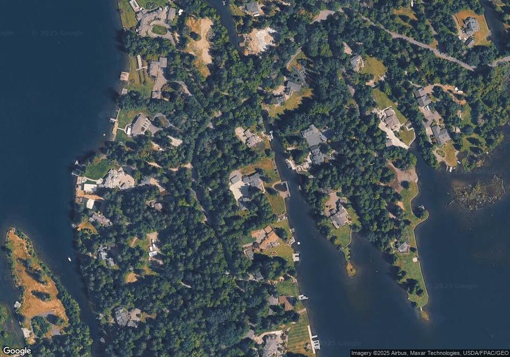
Map
Nearby Homes
- 21028 Snag Island Dr E
- 3418 204th Avenue Ct E
- 4713 N Island Dr E
- 20204 Island Pkwy E
- 19506 56th St E
- 19234 54th St E
- 2911 196th Avenue Ct E
- 2722 210th Ave E
- 20109 Cascade Dr E
- 4914 Jenks Point Way E
- 19114 60th St E
- 5856 190th Avenue Ct E
- 21501 60th St E
- 5329 S Vista Dr E
- 20714 61st St E
- 2606 214th Ave E
- 21305 62nd Street Ct E
- 5706 188th Ave E
- 5311 & 5201 185th Avenue Ct E
- 4411 183rd Ave E
- 21017 Snag Island Dr
- 21013 Snag Island Dr E
- 21021 Snag Island Dr E
- 21124 Snag Island Dr E
- 21124 Snag Island Dr E
- 21128 Snag Island Dr E
- 21120 Snag Island Dr E
- 21020 Snag Island Dr
- 21009 Snag Island Dr
- 21024 Snag Island Dr E
- 21024 Snag Island Dr E
- 21026 Snag Island Dr
- 21030 Snag Island Dr
- 21018 Snag Island Dr E
- 21016 Snag Island Dr
- 21118 Snag Island Dr E
- 20925 Snag Island Dr E
- 20925 Snag Island Dr
- 21129 Snag Island Dr E
- 21125 Snag Island Dr