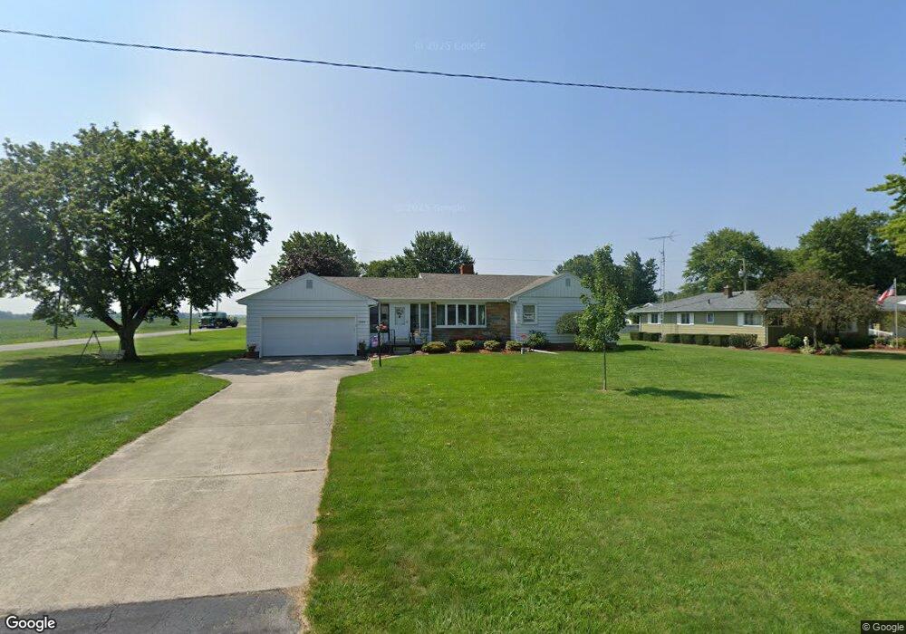
21018 Maple St Williston, OH 43445
Estimated Value: $179,056 - $212,000
2
Beds
1
Bath
1,316
Sq Ft
$147/Sq Ft
Est. Value
About This Home
This home is located at 21018 Maple St, Williston, OH 43445 and is currently estimated at $193,264, approximately $146 per square foot. 21018 Maple St is a home located in Ottawa County with nearby schools including Genoa Elementary School.
Ownership History
Date
Name
Owned For
Owner Type
Purchase Details
Closed on
Sep 11, 2018
Sold by
Berger Donald Lincoln
Bought by
Berger Donald L
Current Estimated Value
Purchase Details
Closed on
Mar 24, 2010
Sold by
Larey Karen M
Bought by
Berger Donald L and Berger Margaret A
Purchase Details
Closed on
Nov 1, 2005
Sold by
Lehmann Naomi L
Bought by
Lehmann Naomi L and Naomi L Lehmann Revocable Trust
Create a Home Valuation Report for This Property
The Home Valuation Report is an in-depth analysis detailing your home's value as well as a comparison with similar homes in the area
Purchase History
| Date | Buyer | Sale Price | Title Company |
|---|---|---|---|
| Berger Donald L | -- | None Available | |
| Berger Donald L | $110,000 | Attorney | |
| Lehmann Naomi L | -- | None Available |
Source: Public Records
Tax History
| Year | Tax Paid | Tax Assessment Tax Assessment Total Assessment is a certain percentage of the fair market value that is determined by local assessors to be the total taxable value of land and additions on the property. | Land | Improvement |
|---|---|---|---|---|
| 2024 | $1,940 | $47,853 | $12,051 | $35,802 |
| 2023 | $1,712 | $38,283 | $9,268 | $29,015 |
| 2022 | $1,509 | $38,283 | $9,268 | $29,015 |
| 2021 | $1,335 | $38,280 | $9,270 | $29,010 |
| 2020 | $1,258 | $35,090 | $7,720 | $27,370 |
| 2019 | $1,253 | $35,090 | $7,720 | $27,370 |
| 2018 | $1,208 | $35,090 | $7,720 | $27,370 |
| 2017 | $956 | $28,290 | $7,720 | $20,570 |
| 2016 | $964 | $28,290 | $7,720 | $20,570 |
| 2015 | $970 | $28,290 | $7,720 | $20,570 |
| 2014 | $525 | $31,680 | $7,720 | $23,960 |
| 2013 | $527 | $31,680 | $7,720 | $23,960 |
Source: Public Records
Map
Nearby Homes
- 21224 W Toledo St
- 6927 N Wildacre Rd
- 7105 N Curtice St
- 330 5th St
- 7330 Jerusalem Rd
- 7105 N Elliston Trowbridge Rd
- 9015 Seaman Rd
- 1861 N Opfer-Lentz Rd
- 5531 Brown Rd
- 1615 N Thyre Dr
- 23195 W Centerfield Dr
- 1460 Woodville Rd
- 1642 Woodville Rd
- 1031 N Cousino Rd
- 730 Bradner Rd
- 1524 Red Bud Dr
- 21682 State Route 51 W
- 1309 Superior St
- 1217 Main St
- 1469 Circle Dr
Your Personal Tour Guide
Ask me questions while you tour the home.