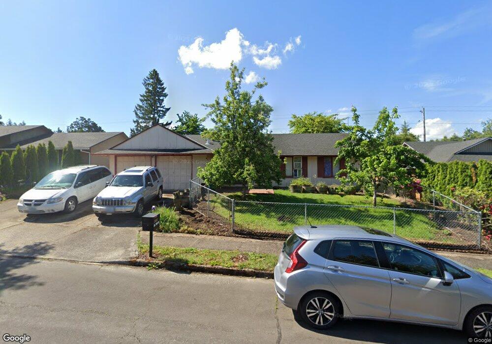
21018 SE Main Dr Gresham, OR 97030
North Central NeighborhoodEstimated Value: $403,885 - $431,000
3
Beds
1
Bath
1,128
Sq Ft
$370/Sq Ft
Est. Value
About This Home
This home is located at 21018 SE Main Dr, Gresham, OR 97030 and is currently estimated at $417,721, approximately $370 per square foot. 21018 SE Main Dr is a home located in Multnomah County with nearby schools including North Gresham Elementary School, Clear Creek Middle School, and Gresham High School.
Ownership History
Date
Name
Owned For
Owner Type
Purchase Details
Closed on
Apr 15, 1998
Sold by
Robbins William John
Bought by
Robbins William J and Robbins Valera J
Current Estimated Value
Home Financials for this Owner
Home Financials are based on the most recent Mortgage that was taken out on this home.
Original Mortgage
$112,500
Interest Rate
7.18%
Mortgage Type
Purchase Money Mortgage
Create a Home Valuation Report for This Property
The Home Valuation Report is an in-depth analysis detailing your home's value as well as a comparison with similar homes in the area
Home Values in the Area
Average Home Value in this Area
Purchase History
| Date | Buyer | Sale Price | Title Company |
|---|---|---|---|
| Robbins William J | -- | Ticor Title Insurance |
Source: Public Records
Mortgage History
| Date | Status | Borrower | Loan Amount |
|---|---|---|---|
| Closed | Robbins William J | $112,500 |
Source: Public Records
Tax History
| Year | Tax Paid | Tax Assessment Tax Assessment Total Assessment is a certain percentage of the fair market value that is determined by local assessors to be the total taxable value of land and additions on the property. | Land | Improvement |
|---|---|---|---|---|
| 2025 | $3,881 | $190,720 | -- | -- |
| 2024 | $3,715 | $185,170 | -- | -- |
| 2023 | $3,385 | $179,780 | $0 | $0 |
| 2022 | $3,290 | $174,550 | $0 | $0 |
| 2021 | $3,207 | $169,470 | $0 | $0 |
| 2020 | $3,018 | $164,540 | $0 | $0 |
| 2019 | $2,939 | $159,750 | $0 | $0 |
| 2018 | $2,802 | $155,100 | $0 | $0 |
| 2017 | $2,689 | $150,590 | $0 | $0 |
| 2016 | $2,371 | $146,210 | $0 | $0 |
Source: Public Records
Map
Nearby Homes
- 1208 SE 209th Ave
- 2013 NW Bella Vista Dr
- 1026 SE 209th Ave
- 1711 NW 19th St
- 21001 SE Yamhill St
- 920 SE 214th Ave
- 1758 NW 18th Ct
- 1861 NW Wonderview Ave
- 21016 SE Stark St Unit 71
- 21016 SE Stark St Unit 69
- 21260 SE Stark St
- 21400 SE Stark St Unit 2
- 209 SE 214th Ave
- 21525 SE Oak St
- 1387 NW Riverview Ave Unit 14B
- 132 SE 214th Ave
- 0 SE Burnside St
- 994 NW Wallula Ave
- 19776 SE Stark St Unit 147
- 805 SE 197th Ave
- 21030 SE Main Dr
- 21010 SE Main Dr
- 20948 SE Main Dr
- 21040 SE Main Dr
- 1325 SE 211th Ave
- 21009 SE Main Dr
- 21035 SE Main Dr
- 21007 SE Main Dr
- 20938 SE Main Dr
- 20903 SE Burnside Ct
- 20943 SE Main Dr
- 20915 SE Burnside Ct
- 1324 SE 211th Ave
- 20841 SE Burnside Ct
- 1227 SE 211th Ave
- 20929 SE Burnside Ct
- 20931 SE Main Dr
- 20817 SE Burnside Ct
- 1312 SE 211th Ave
- 1267 SE 212th Ave
Your Personal Tour Guide
Ask me questions while you tour the home.