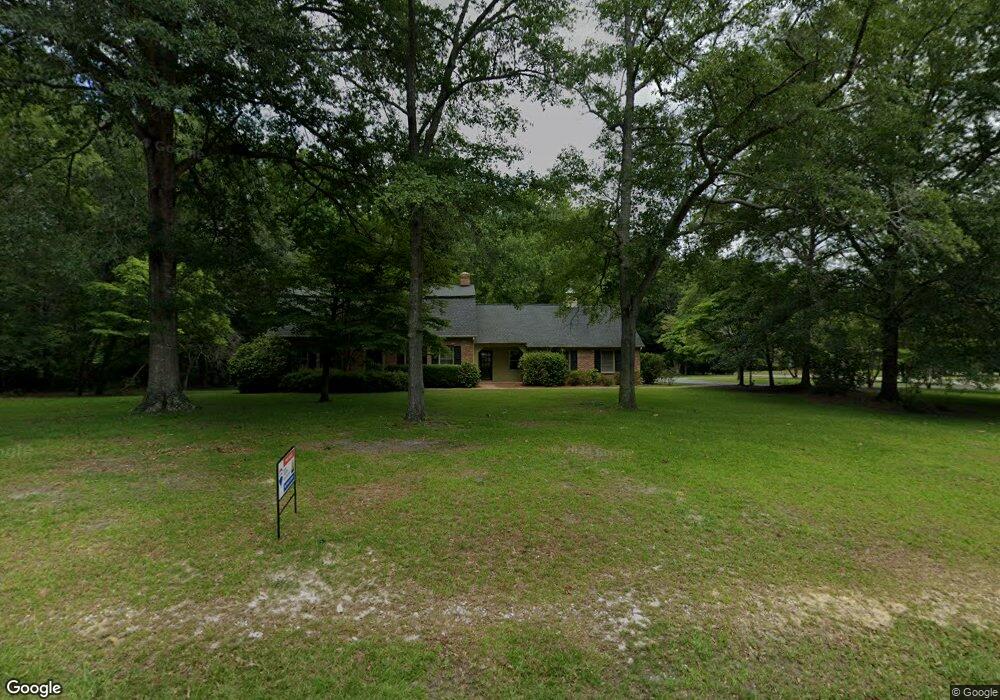
2102 Burns Ln Camden, SC 29020
Estimated Value: $379,947 - $452,000
4
Beds
3
Baths
3,998
Sq Ft
$108/Sq Ft
Est. Value
About This Home
This home is located at 2102 Burns Ln, Camden, SC 29020 and is currently estimated at $432,737, approximately $108 per square foot. 2102 Burns Ln is a home located in Kershaw County with nearby schools including Camden Elementary of the Creative Arts, Pine Tree Hill Elementary School, and Camden Middle School.
Ownership History
Date
Name
Owned For
Owner Type
Purchase Details
Closed on
Oct 14, 2024
Sold by
Ransom Shirley P
Bought by
Jackson Claude Lamar and Jackson Hayley Morgan
Current Estimated Value
Home Financials for this Owner
Home Financials are based on the most recent Mortgage that was taken out on this home.
Original Mortgage
$439,245
Outstanding Balance
$434,194
Interest Rate
6.35%
Mortgage Type
VA
Estimated Equity
-$1,457
Purchase Details
Closed on
May 30, 2024
Sold by
Howard Suzanne R and Ransom Britton P
Bought by
Ransom Shirley P
Purchase Details
Closed on
Jul 15, 2021
Sold by
Ransom Bernard E
Bought by
Howard Suzanne R and Ransom Britton P
Create a Home Valuation Report for This Property
The Home Valuation Report is an in-depth analysis detailing your home's value as well as a comparison with similar homes in the area
Home Values in the Area
Average Home Value in this Area
Purchase History
| Date | Buyer | Sale Price | Title Company |
|---|---|---|---|
| Jackson Claude Lamar | $430,000 | None Listed On Document | |
| Ransom Shirley P | -- | None Listed On Document | |
| Howard Suzanne R | -- | None Listed On Document |
Source: Public Records
Mortgage History
| Date | Status | Borrower | Loan Amount |
|---|---|---|---|
| Open | Jackson Claude Lamar | $439,245 |
Source: Public Records
Tax History Compared to Growth
Tax History
| Year | Tax Paid | Tax Assessment Tax Assessment Total Assessment is a certain percentage of the fair market value that is determined by local assessors to be the total taxable value of land and additions on the property. | Land | Improvement |
|---|---|---|---|---|
| 2025 | $1,621 | $430,000 | $65,000 | $365,000 |
| 2024 | $1,621 | $285,200 | $38,000 | $247,200 |
| 2023 | $7 | $285,200 | $38,000 | $247,200 |
| 2022 | $1,353 | $285,200 | $38,000 | $247,200 |
| 2021 | $1,253 | $285,200 | $38,000 | $247,200 |
| 2020 | $1,175 | $234,800 | $28,000 | $206,800 |
| 2019 | $1,214 | $234,800 | $28,000 | $206,800 |
| 2018 | $1,227 | $234,800 | $28,000 | $206,800 |
| 2017 | $1,150 | $234,800 | $28,000 | $206,800 |
| 2016 | $1,147 | $233,400 | $28,000 | $205,400 |
| 2015 | $924 | $233,400 | $28,000 | $205,400 |
| 2014 | $924 | $9,336 | $0 | $0 |
Source: Public Records
Map
Nearby Homes
- 2009 S Brailsford Rd
- 1958 Forest Dr
- 108 Hackamore Ln
- 2106 Davie Ln
- 1916 Forest Dr
- 1929 Brook Dr
- 1951 Forest Dr
- 9 Legacy Ct
- 1807 Forest Dr
- 248 Hackamore Ln
- 2224 Carter St Unit Tract C
- 2236 Carter St Unit Tract D
- 8 Pinetop Rd
- 170 Carriagebrook Cir
- 142 Carriagebrook Cir
- 22 Shoal Ct
- 21 Bayberry Ct
- 20 Hunt Cup Ln
- 1821 Campbell St
- 602 Greene St
- 2104 Burns Ln
- 2101 Burns Ln
- 2011 S Brailsford Rd
- 2103 Burns Ln
- 2013 S Brailsford Rd
- 2106 Burns Ln
- 2009 N Brailsford Rd
- 2105 Burns Ln
- 2015 S Brailsford Rd
- 2104 Springdale Dr
- 2016 S Brailsford Rd
- 2007 N Brailsford Rd
- 2106 Springdale Dr
- 2107 Burns Ln
- 2019 S Brailsford Rd
- 2010 N Brailsford Rd
- 2108 Springdale Dr
- 2004 Springdale Dr
- 2012 N Brailsford Rd
- 2110 Springdale Dr