2102 Hampton Rd Everson, WA 98247
Estimated Value: $800,000 - $981,243
4
Beds
2
Baths
1,531
Sq Ft
$582/Sq Ft
Est. Value
About This Home
This home is located at 2102 Hampton Rd, Everson, WA 98247 and is currently estimated at $890,622, approximately $581 per square foot. 2102 Hampton Rd is a home located in Whatcom County with nearby schools including Nooksack Elementary School, Everson Elementary School, and Sumas Elementary School.
Ownership History
Date
Name
Owned For
Owner Type
Purchase Details
Closed on
Oct 16, 2020
Sold by
Erickson Leif Damon and Pearson Bonnie Jo
Bought by
Roberts Kyle J and Roberts Heidi M
Current Estimated Value
Home Financials for this Owner
Home Financials are based on the most recent Mortgage that was taken out on this home.
Original Mortgage
$395,000
Outstanding Balance
$348,940
Interest Rate
2.9%
Mortgage Type
New Conventional
Estimated Equity
$541,682
Create a Home Valuation Report for This Property
The Home Valuation Report is an in-depth analysis detailing your home's value as well as a comparison with similar homes in the area
Purchase History
| Date | Buyer | Sale Price | Title Company |
|---|---|---|---|
| Roberts Kyle J | $700,561 | Chicago Title Company Of Wa |
Source: Public Records
Mortgage History
| Date | Status | Borrower | Loan Amount |
|---|---|---|---|
| Open | Roberts Kyle J | $395,000 |
Source: Public Records
Tax History
| Year | Tax Paid | Tax Assessment Tax Assessment Total Assessment is a certain percentage of the fair market value that is determined by local assessors to be the total taxable value of land and additions on the property. | Land | Improvement |
|---|---|---|---|---|
| 2025 | $5,409 | $894,899 | $548,909 | $345,990 |
| 2024 | $4,092 | $881,025 | $543,474 | $337,551 |
| 2023 | $4,092 | $958,964 | $578,092 | $380,872 |
| 2022 | $3,612 | $863,945 | $520,812 | $343,133 |
| 2021 | $3,499 | $674,943 | $406,876 | $268,067 |
| 2020 | $3,058 | $256,176 | $29,000 | $227,176 |
| 2019 | $2,720 | $516,316 | $311,251 | $205,065 |
| 2018 | $3,395 | $220,841 | $25,000 | $195,841 |
| 2017 | $2,970 | $207,978 | $20,264 | $187,714 |
| 2016 | $2,958 | $185,296 | $18,054 | $167,242 |
| 2015 | $2,446 | $185,296 | $18,054 | $167,242 |
| 2014 | -- | $192,440 | $34,804 | $157,636 |
| 2013 | -- | $188,287 | $33,171 | $155,116 |
Source: Public Records
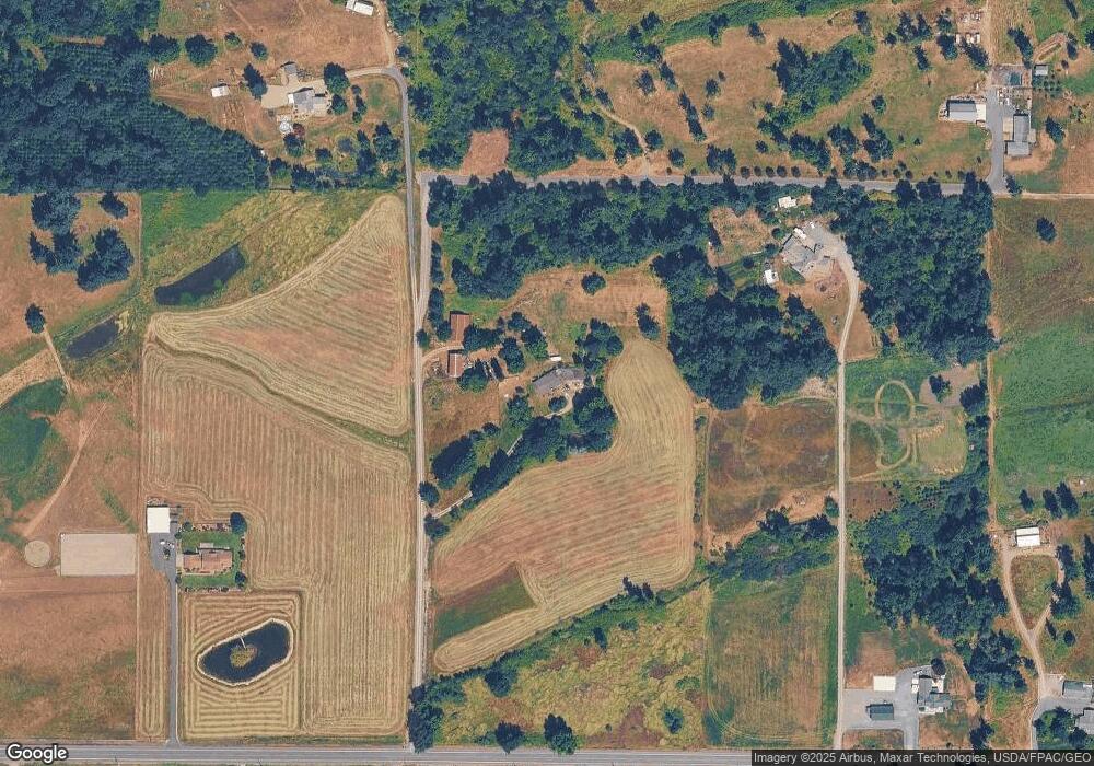
Map
Nearby Homes
- 1915 Hampton Rd
- 1925 Hampton Rd
- 1766 Hampton Rd
- 2173 Lagerwey Cir
- 2105 Lagerwey Cir
- 2103 Lagerwey Cir
- 2068 Bowfin Way
- 2178 Lagerwey Cir
- 2014 Monteview Ct
- 2027 Steelhead Way
- 408 W 3rd St
- 416 W 3rd St
- 702 N Washington St
- 1340 Kamm Rd
- 1949 Junegrass Dr
- 409 W 4th St
- 1963 Bluestem St
- 2075 Bluestem St
- 1979 Woodsman Dr
- 1950 N Prairie Ln
- 2178 Hampton Rd
- 2096 Hampton Rd
- 2056 Hampton Rd
- 17 xx Hampton Rd
- 2117 Hampton Rd
- 2180 Hampton Rd
- 2216 Hampton Rd
- 2007 Hampton Rd
- 1996 Hampton Rd
- 2233 Hampton Rd
- 2054 Lindsay Rd
- 2298 Hampton Rd
- 2279 Hampton Rd
- 2106 Lindsay Rd
- 0 Lindsay Rd
- 0 Lindsay Rd
- 0 Lindsay Rd Unit NWM1278429
- 0 21xx Lindsay Rd
- 1956 Hampton Rd
- 2272 Lindsay Rd
Your Personal Tour Guide
Ask me questions while you tour the home.