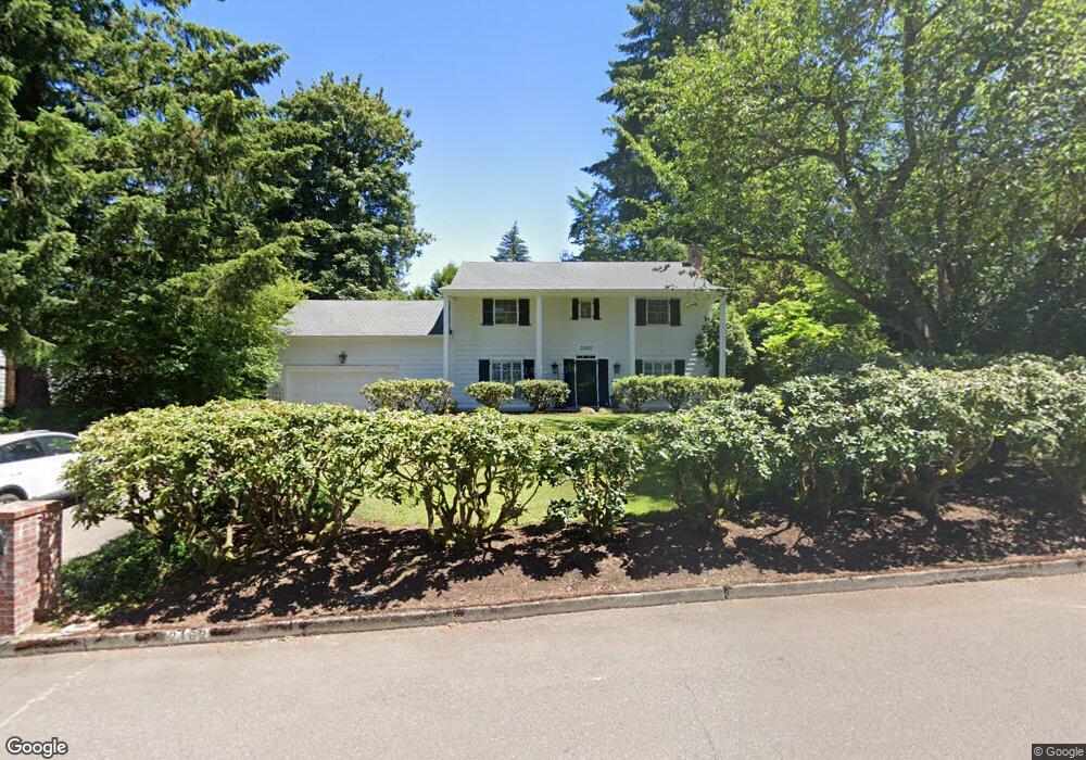
2102 Hillside Dr Lake Oswego, OR 97034
Palisades NeighborhoodEstimated Value: $999,000 - $1,232,000
4
Beds
3
Baths
3,096
Sq Ft
$368/Sq Ft
Est. Value
About This Home
This home is located at 2102 Hillside Dr, Lake Oswego, OR 97034 and is currently estimated at $1,138,299, approximately $367 per square foot. 2102 Hillside Dr is a home located in Clackamas County with nearby schools including Lakeridge Middle School, Lakeridge High School, and Chinese American International School.
Ownership History
Date
Name
Owned For
Owner Type
Purchase Details
Closed on
Sep 3, 1999
Sold by
Crampton William S and Crampton Barbara W
Bought by
Karneus Peter R and Karneus Jean L
Current Estimated Value
Home Financials for this Owner
Home Financials are based on the most recent Mortgage that was taken out on this home.
Original Mortgage
$250,000
Outstanding Balance
$69,599
Interest Rate
7.25%
Estimated Equity
$1,068,700
Create a Home Valuation Report for This Property
The Home Valuation Report is an in-depth analysis detailing your home's value as well as a comparison with similar homes in the area
Home Values in the Area
Average Home Value in this Area
Purchase History
| Date | Buyer | Sale Price | Title Company |
|---|---|---|---|
| Karneus Peter R | $392,500 | Fidelity National Title Co |
Source: Public Records
Mortgage History
| Date | Status | Borrower | Loan Amount |
|---|---|---|---|
| Open | Karneus Peter R | $250,000 |
Source: Public Records
Tax History Compared to Growth
Tax History
| Year | Tax Paid | Tax Assessment Tax Assessment Total Assessment is a certain percentage of the fair market value that is determined by local assessors to be the total taxable value of land and additions on the property. | Land | Improvement |
|---|---|---|---|---|
| 2025 | $9,044 | $470,933 | -- | -- |
| 2024 | $8,803 | $457,217 | -- | -- |
| 2023 | $8,803 | $443,900 | $0 | $0 |
| 2022 | $8,291 | $430,971 | $0 | $0 |
| 2021 | $7,657 | $418,419 | $0 | $0 |
| 2020 | $7,465 | $406,233 | $0 | $0 |
| 2019 | $7,281 | $394,401 | $0 | $0 |
| 2018 | $6,924 | $382,914 | $0 | $0 |
| 2017 | $6,681 | $371,761 | $0 | $0 |
| 2016 | $6,083 | $360,933 | $0 | $0 |
| 2015 | $5,877 | $350,420 | $0 | $0 |
| 2014 | $5,801 | $340,214 | $0 | $0 |
Source: Public Records
Map
Nearby Homes
- 2306 Mayors Ln
- 2627 Park Rd
- 1951 Greentree Rd
- 2255 Glen Haven Rd
- 16878 Canyon Dr
- 0 S Shore Blvd
- 17035 Westview Dr
- 17677 Westview Dr
- 1847 Woodland Terrace
- 3220 Southshore Blvd
- 1799 Atherton Dr
- 17210 Cedar Rd
- 1467 Greentree Cir
- 16636 Maple Cir
- 765 Clara Ct
- 17367 Canal Cir
- 1300 Tyndall Ct
- 2240 Summit Ct
- 15948 Twin Fir Rd
- 15947 Twin Fir Rd
- 2220 Hillside Dr
- 2379 Overlook Dr
- 2240 Hillside Dr
- 2201 Hillside Dr
- 2401 Hillside Dr
- 2251 Hillside Dr
- 17814 Hillside Dr
- 2388 Overlook Dr
- 2110 Hillside Ct
- 17707 Treetop Way
- 17703 Treetop Way
- 2375 Fernwood Cir
- 2375 Fernwood Cr
- 17580 Treetop Way
- 2441 Overlook Dr
- 2183 Hillside Ct
- 2368 Overlook Dr
- 17801 Hillside Dr
- 2227 Hillside Dr
- 17585 Treetop Way