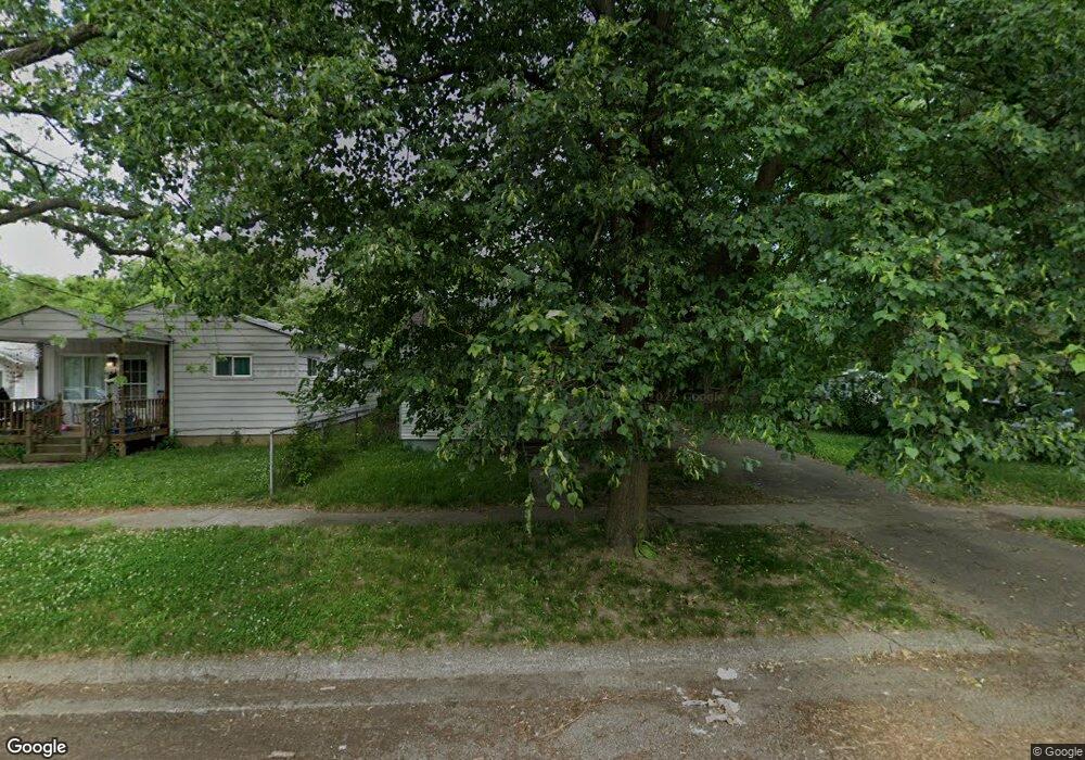
2102 Hoff St Flint, MI 48506
Eastside NeighborhoodEstimated Value: $19,000 - $51,000
2
Beds
1
Bath
648
Sq Ft
$62/Sq Ft
Est. Value
About This Home
This home is located at 2102 Hoff St, Flint, MI 48506 and is currently estimated at $39,868, approximately $61 per square foot. 2102 Hoff St is a home located in Genesee County with nearby schools including Potter School, Flint Cultural Center Academy, and Richfield Public School Academy.
Ownership History
Date
Name
Owned For
Owner Type
Purchase Details
Closed on
Mar 17, 2025
Sold by
Valu Frank
Bought by
Thomas Dontez
Current Estimated Value
Purchase Details
Closed on
Jun 13, 2006
Sold by
Credit Based Asset Servicing & Securitiz
Bought by
Pledged Property Ii Llc
Purchase Details
Closed on
May 31, 2006
Sold by
Conyer Jerry C and Conyer Tina M
Bought by
Credit Based Asset Servicing & Securitiz
Purchase Details
Closed on
Jan 14, 2000
Sold by
Preger Gary W and Preger Gloria G
Bought by
Conyer Jerry C and Conyer Tina M
Create a Home Valuation Report for This Property
The Home Valuation Report is an in-depth analysis detailing your home's value as well as a comparison with similar homes in the area
Home Values in the Area
Average Home Value in this Area
Purchase History
| Date | Buyer | Sale Price | Title Company |
|---|---|---|---|
| Thomas Dontez | $15,000 | None Listed On Document | |
| Pledged Property Ii Llc | -- | E Title Agency | |
| Credit Based Asset Servicing & Securitiz | $15,193 | None Available | |
| Conyer Jerry C | $48,000 | Lawyers Title Insurance Corp |
Source: Public Records
Tax History
| Year | Tax Paid | Tax Assessment Tax Assessment Total Assessment is a certain percentage of the fair market value that is determined by local assessors to be the total taxable value of land and additions on the property. | Land | Improvement |
|---|---|---|---|---|
| 2025 | $626 | $8,300 | $0 | $0 |
| 2024 | $591 | $7,700 | $0 | $0 |
| 2023 | $588 | $6,800 | $0 | $0 |
| 2022 | $0 | $5,500 | $0 | $0 |
| 2021 | $590 | $5,200 | $0 | $0 |
| 2020 | $555 | $4,600 | $0 | $0 |
| 2019 | $551 | $4,600 | $0 | $0 |
| 2018 | $514 | $4,200 | $0 | $0 |
| 2017 | $593 | $0 | $0 | $0 |
| 2016 | $607 | $0 | $0 | $0 |
| 2015 | -- | $0 | $0 | $0 |
| 2014 | -- | $0 | $0 | $0 |
| 2012 | -- | $7,600 | $0 | $0 |
Source: Public Records
Map
Nearby Homes
- 2211 Torrance St
- 2426 Broadway Blvd
- 2321 Levern St
- 2426 Hoff St
- 2601 Illinois Ave
- 2701 Branch Rd
- 2506 Arlington Ave
- 1510 N Vernon Ave
- 1622 Arlington Ave
- 2415 Pennsylvania Ave
- 2610 Pennsylvania Ave
- 2002 Branch Rd
- 2217 Maryland Ave
- 2719 Branch Rd
- 3149 Whittier Ave
- 3018 Dakota Ave
- 1805 Bennett Ave
- 2301 Missouri Ave
- 3213 Holly Ave
- 2605 Nebraska Ave
- 2106 Hoff St
- 2030 Hoff St
- 2110 Hoff St
- 2101 Torrance Ave
- 2114 Hoff St
- 2022 Hoff St
- 2037 Torrance Ave
- 2105 Torrance Ave
- 2109 Torrance Ave
- 2033 Torrance Ave
- 2105 Hoff St
- 2113 Torrance Ave
- 2101 Hoff St
- 2033 Hoff St
- 2029 Hoff St
- 2606 Bennett Ave
- 2610 Bennett Ave
- 2025 Torrance Ave
- 2025 Hoff St
- 2614 Bennett Ave
Your Personal Tour Guide
Ask me questions while you tour the home.