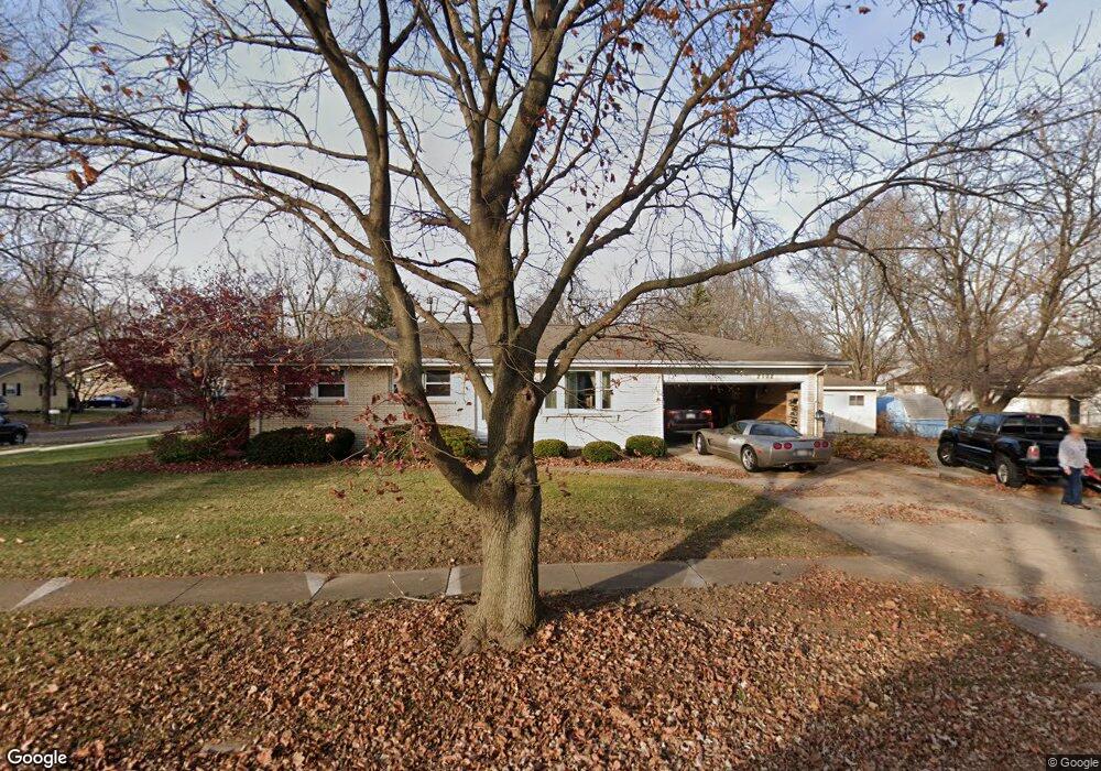
2102 Lamon Dr Bloomington, IL 61704
Lakewood-Hillcrest NeighborhoodEstimated Value: $192,000 - $209,614
3
Beds
2
Baths
1,116
Sq Ft
$179/Sq Ft
Est. Value
About This Home
This home is located at 2102 Lamon Dr, Bloomington, IL 61704 and is currently estimated at $200,154, approximately $179 per square foot. 2102 Lamon Dr is a home located in McLean County with nearby schools including Stevenson Elementary School, Bloomington Junior High School, and Bloomington High School.
Ownership History
Date
Name
Owned For
Owner Type
Purchase Details
Closed on
Sep 30, 2009
Sold by
Carstens James G and Carstens Kathryn J
Bought by
Francis Michael D and Francis Kathy M
Current Estimated Value
Home Financials for this Owner
Home Financials are based on the most recent Mortgage that was taken out on this home.
Original Mortgage
$109,600
Outstanding Balance
$71,968
Interest Rate
5.19%
Estimated Equity
$128,186
Create a Home Valuation Report for This Property
The Home Valuation Report is an in-depth analysis detailing your home's value as well as a comparison with similar homes in the area
Home Values in the Area
Average Home Value in this Area
Purchase History
| Date | Buyer | Sale Price | Title Company |
|---|---|---|---|
| Francis Michael D | $137,000 | Frontier Title Co |
Source: Public Records
Mortgage History
| Date | Status | Borrower | Loan Amount |
|---|---|---|---|
| Open | Francis Michael D | $109,600 |
Source: Public Records
Tax History
| Year | Tax Paid | Tax Assessment Tax Assessment Total Assessment is a certain percentage of the fair market value that is determined by local assessors to be the total taxable value of land and additions on the property. | Land | Improvement |
|---|---|---|---|---|
| 2024 | $2,561 | $56,399 | $11,083 | $45,316 |
| 2022 | $2,561 | $44,244 | $8,695 | $35,549 |
| 2021 | $2,561 | $43,135 | $8,477 | $34,658 |
| 2020 | $2,554 | $43,135 | $8,477 | $34,658 |
| 2019 | $2,547 | $43,135 | $8,477 | $34,658 |
| 2018 | $2,957 | $43,135 | $8,477 | $34,658 |
| 2017 | $3,010 | $43,747 | $8,597 | $35,150 |
| 2016 | $3,004 | $43,747 | $8,597 | $35,150 |
| 2015 | $2,947 | $43,168 | $8,483 | $34,685 |
| 2014 | $2,812 | $42,655 | $8,483 | $34,172 |
| 2013 | -- | $41,819 | $8,317 | $33,502 |
Source: Public Records
Map
Nearby Homes
- 1206 N Hershey Rd
- 1218 Orchard Rd
- 1307 Glenwood Rd
- 2419 Maloney Dr
- 310 Rowe Dr
- 29 Brandywine Ct
- 110 S Hershey Rd
- 59 Bandecon Way
- 2501 Yorktown Dr
- 1903 Oakwood Ave
- 711 Lara Rd
- 4 Monarch Dr
- 2814 Richard Rd
- 3009 E Oakland Ave
- 1111 Sheridan Rd
- 4 Scofield Ct
- 1510 E Olive St
- 317 Waterford Estates Dr
- 3610 Ballyford Dr
- 404 Chelsea Dr
- 2103 Lamon Dr
- 1211 Townley Dr
- 1213 Townley Dr
- 1208 Townley Dr
- 2104 Lamon Dr
- 2105 Lamon Dr
- 1204 Gettysburg Dr
- 2101 Lamon Dr
- 1204 Townley Dr
- 1210 Townley Dr
- 1108 Gettysburg Dr
- 1206 Gettysburg Dr
- 1215 Townley Dr
- 1212 Townley Dr
- 2110 Todd Dr
- 2110 Todd Dr Unit 6
- 2110 Todd Dr Unit 5
- 2110 Todd Dr Unit 4
- 2110 Todd Dr Unit 3
- 2110 Todd Dr Unit 2
Your Personal Tour Guide
Ask me questions while you tour the home.