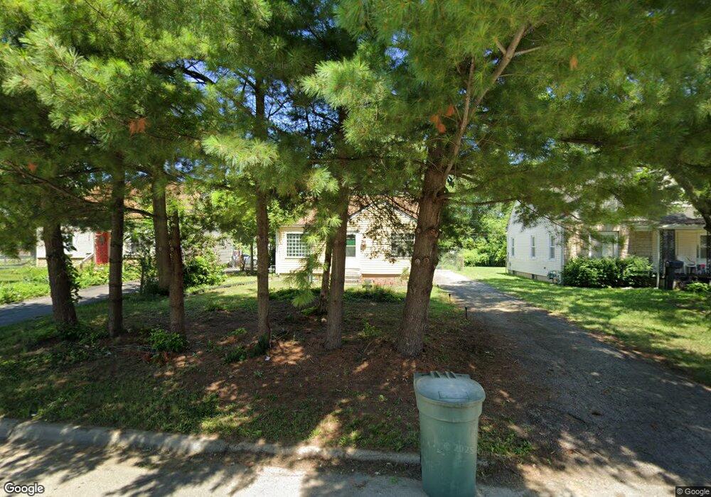
2102 Middlehurst Dr Columbus, OH 43219
Woodland Holt NeighborhoodEstimated Value: $129,000 - $151,000
3
Beds
1
Bath
980
Sq Ft
$143/Sq Ft
Est. Value
About This Home
This home is located at 2102 Middlehurst Dr, Columbus, OH 43219 and is currently estimated at $139,729, approximately $142 per square foot. 2102 Middlehurst Dr is a home located in Franklin County with nearby schools including South Mifflin Stem Academy (K-6), Linden-Mckinley Stem School On Arcadia, and Cesar Chavez College Preparatory School.
Ownership History
Date
Name
Owned For
Owner Type
Purchase Details
Closed on
Mar 21, 2025
Sold by
Hill Marie
Bought by
Gossett Lashawnda
Current Estimated Value
Home Financials for this Owner
Home Financials are based on the most recent Mortgage that was taken out on this home.
Original Mortgage
$130,810
Outstanding Balance
$129,628
Interest Rate
6.63%
Mortgage Type
New Conventional
Estimated Equity
$10,101
Purchase Details
Closed on
Feb 21, 2024
Sold by
Mcdonald Terry W and Mcdonald James Mark
Bought by
Hill Marie
Purchase Details
Closed on
Aug 24, 1987
Bought by
Mcdonald Terry W
Create a Home Valuation Report for This Property
The Home Valuation Report is an in-depth analysis detailing your home's value as well as a comparison with similar homes in the area
Home Values in the Area
Average Home Value in this Area
Purchase History
| Date | Buyer | Sale Price | Title Company |
|---|---|---|---|
| Gossett Lashawnda | $130,900 | Quality Choice Title | |
| Hill Marie | $45,000 | None Listed On Document | |
| Mcdonald Terry W | $30,000 | -- |
Source: Public Records
Mortgage History
| Date | Status | Borrower | Loan Amount |
|---|---|---|---|
| Open | Gossett Lashawnda | $130,810 |
Source: Public Records
Tax History
| Year | Tax Paid | Tax Assessment Tax Assessment Total Assessment is a certain percentage of the fair market value that is determined by local assessors to be the total taxable value of land and additions on the property. | Land | Improvement |
|---|---|---|---|---|
| 2025 | $1,537 | $34,240 | $8,790 | $25,450 |
| 2024 | $1,537 | $34,240 | $8,790 | $25,450 |
| 2023 | $1,517 | $34,240 | $8,790 | $25,450 |
| 2022 | $844 | $16,280 | $2,520 | $13,760 |
| 2021 | $846 | $16,280 | $2,520 | $13,760 |
| 2020 | $847 | $16,280 | $2,520 | $13,760 |
| 2019 | $758 | $12,500 | $2,030 | $10,470 |
| 2018 | $378 | $12,500 | $2,030 | $10,470 |
| 2017 | $762 | $12,500 | $2,030 | $10,470 |
| 2016 | $1,083 | $16,350 | $2,770 | $13,580 |
| 2015 | $492 | $16,350 | $2,770 | $13,580 |
| 2014 | $986 | $16,350 | $2,770 | $13,580 |
| 2013 | $540 | $18,165 | $3,080 | $15,085 |
Source: Public Records
Map
Nearby Homes
- 1991 Woodland Ave
- 1893 Jermain Dr
- 2080 Parkwood Ave Unit 2090
- 1816 Brentnell Ave
- 2321 Dunning Ct
- 2131 Argyle Dr
- 0 Danby Dr
- 2145 Argyle Dr
- 0 Parkwood Ave
- 2169 Argyle Dr
- 2350 Edenburgh Dr S
- 1862 Argyle Dr
- 0 Mock Rd
- 1805 E 26th Ave
- 2144 Toni St
- 0 Delbert Rd Unit 225030362
- 1864 E Hudson St
- 1810 E 26th Ave
- 2271 Century Dr
- 1684 E Blake Ave
- 2108 Middlehurst Dr
- 2096 Middlehurst Dr
- 2114 Middlehurst Dr
- 2120 Middlehurst Dr
- 1948 Woodland Ave
- 1941 Jermain Dr
- 2126 Middlehurst Dr
- 2119 Sagamore Rd
- 1942 Woodland Ave
- 2103 Sagamore Rd
- 2127 Sagamore Rd
- 1933 Jermain Dr
- 2134 Middlehurst Dr
- 2111 Sagamore Rd
- 2133 Sagamore Rd
- 1934 Woodland Ave
- 1927 Jermain Dr
- 2138 Middlehurst Dr
- 1965 Woodland Ave
- 2147 Sagamore Rd
Your Personal Tour Guide
Ask me questions while you tour the home.