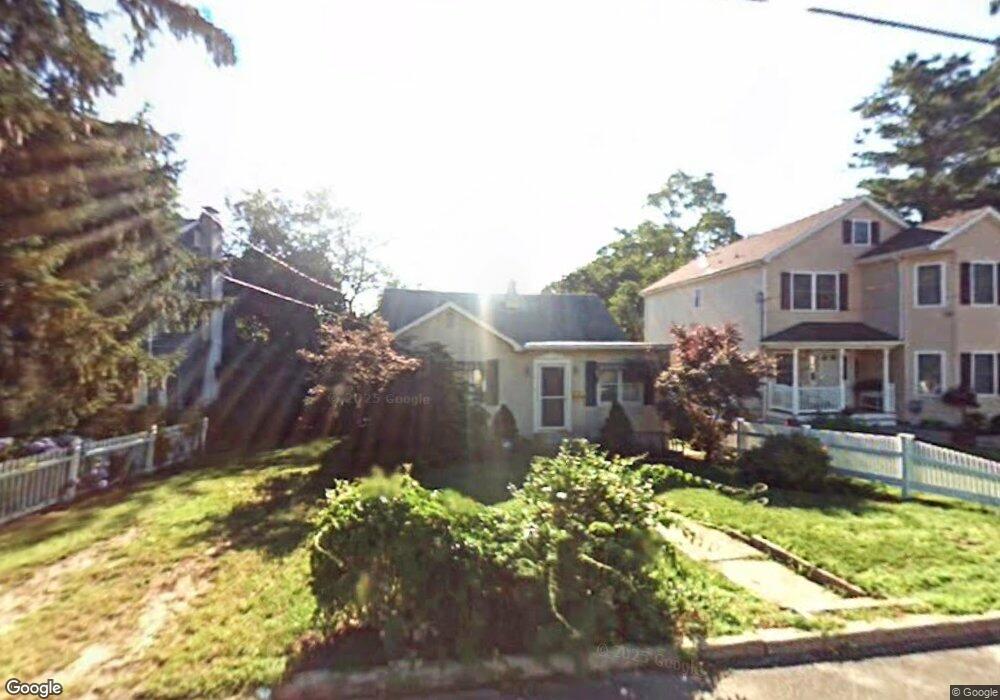
2102 Old Mill Rd Spring Lake, NJ 07762
Estimated Value: $687,143 - $781,000
2
Beds
1
Bath
1,050
Sq Ft
$705/Sq Ft
Est. Value
About This Home
This home is located at 2102 Old Mill Rd, Spring Lake, NJ 07762 and is currently estimated at $740,286, approximately $705 per square foot. 2102 Old Mill Rd is a home located in Monmouth County with nearby schools including Spring Lake Heights Elementary School and The Brookside School.
Ownership History
Date
Name
Owned For
Owner Type
Purchase Details
Closed on
Jul 30, 1996
Sold by
Dunne James
Bought by
Tow Edward
Current Estimated Value
Home Financials for this Owner
Home Financials are based on the most recent Mortgage that was taken out on this home.
Original Mortgage
$60,000
Outstanding Balance
$4,823
Interest Rate
8.4%
Estimated Equity
$735,463
Create a Home Valuation Report for This Property
The Home Valuation Report is an in-depth analysis detailing your home's value as well as a comparison with similar homes in the area
Home Values in the Area
Average Home Value in this Area
Purchase History
| Date | Buyer | Sale Price | Title Company |
|---|---|---|---|
| Tow Edward | $130,000 | -- |
Source: Public Records
Mortgage History
| Date | Status | Borrower | Loan Amount |
|---|---|---|---|
| Open | Tow Edward | $60,000 |
Source: Public Records
Tax History
| Year | Tax Paid | Tax Assessment Tax Assessment Total Assessment is a certain percentage of the fair market value that is determined by local assessors to be the total taxable value of land and additions on the property. | Land | Improvement |
|---|---|---|---|---|
| 2025 | $5,165 | $559,600 | $402,300 | $157,300 |
| 2024 | $4,529 | $490,500 | $336,200 | $154,300 |
| 2023 | $4,529 | $404,400 | $291,600 | $112,800 |
| 2022 | $4,078 | $346,600 | $243,000 | $103,600 |
| 2021 | $4,078 | $302,100 | $207,900 | $94,200 |
| 2020 | $3,984 | $293,400 | $207,900 | $85,500 |
| 2019 | $4,706 | $343,000 | $207,900 | $135,100 |
| 2018 | $4,692 | $332,800 | $207,900 | $124,900 |
| 2017 | $4,506 | $331,300 | $207,900 | $123,400 |
| 2016 | $4,150 | $301,400 | $179,600 | $121,800 |
| 2015 | $4,094 | $298,200 | $179,600 | $118,600 |
| 2014 | $4,405 | $328,000 | $198,500 | $129,500 |
Source: Public Records
Map
Nearby Homes
- 27 Apple Dr
- 2005 Nassau Dr
- 2419 Kipling Ave
- 23 Locust Way
- 1838 State Route 35 Unit 10
- 815 Woodcrest Dr
- 16 Cherry Ct
- 809 Wall Rd
- 1210 Xanadu Ln Unit A1210
- 604 Monmouth Ave
- 1826 New Bedford Rd
- 2077 Benjamin Cir
- 513 Mercer Ave
- 1731 Grove St
- 420 Ludlow Ave
- 1726 M St
- 909 Jersey Ave
- 574 Central Ave
- 2127 Locust Rd
- 1813 World St
- 2104 Old Mill Rd
- 2100 Old Mill Rd
- 1233 Crosby Rd
- 2106 Old Mill Rd
- 1231 Crosby Rd
- 1919 Old Mill Rd
- 2101 Old Mill Rd
- 1915 Old Mill Rd
- 1225 Norman Terrace
- 1227 Norman Terrace
- 2200 Old Mill Rd
- 1230 Crosby Rd
- 2105 Old Mill Rd
- 1229 Crosby Rd
- 1223 Norman Terrace
- 2202 Old Mill Rd
- 2103 Old Mill Rd
- 1228 Crosby Rd
- 2201 Old Mill Rd
- 1909 Old Mill Rd
Your Personal Tour Guide
Ask me questions while you tour the home.