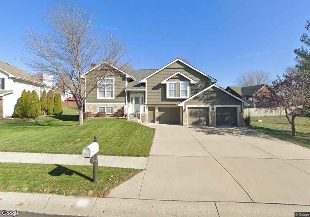
2102 Victoria Ave Excelsior Springs, MO 64024
Estimated Value: $349,000 - $375,000
3
Beds
2
Baths
1,672
Sq Ft
$216/Sq Ft
Est. Value
About This Home
This home is located at 2102 Victoria Ave, Excelsior Springs, MO 64024 and is currently estimated at $360,680, approximately $215 per square foot. 2102 Victoria Ave is a home located in Clay County with nearby schools including Excelsior Springs High School.
Ownership History
Date
Name
Owned For
Owner Type
Purchase Details
Closed on
Dec 22, 2006
Sold by
Aartech Investments Inc
Bought by
Irons Terri R
Current Estimated Value
Home Financials for this Owner
Home Financials are based on the most recent Mortgage that was taken out on this home.
Original Mortgage
$145,000
Outstanding Balance
$86,692
Interest Rate
6.31%
Mortgage Type
Purchase Money Mortgage
Estimated Equity
$273,988
Create a Home Valuation Report for This Property
The Home Valuation Report is an in-depth analysis detailing your home's value as well as a comparison with similar homes in the area
Home Values in the Area
Average Home Value in this Area
Purchase History
| Date | Buyer | Sale Price | Title Company |
|---|---|---|---|
| Irons Terri R | -- | Mokan Title Services Llc | |
| Aartech Investments Inc | -- | Mokan Title Services Llc |
Source: Public Records
Mortgage History
| Date | Status | Borrower | Loan Amount |
|---|---|---|---|
| Open | Irons Terri R | $145,000 |
Source: Public Records
Tax History Compared to Growth
Tax History
| Year | Tax Paid | Tax Assessment Tax Assessment Total Assessment is a certain percentage of the fair market value that is determined by local assessors to be the total taxable value of land and additions on the property. | Land | Improvement |
|---|---|---|---|---|
| 2025 | $3,399 | $54,380 | -- | -- |
| 2024 | $3,399 | $48,470 | -- | -- |
| 2023 | $3,378 | $48,470 | $0 | $0 |
| 2022 | $2,956 | $41,720 | $0 | $0 |
| 2021 | $2,967 | $41,724 | $5,700 | $36,024 |
| 2020 | $2,763 | $37,770 | $0 | $0 |
| 2019 | $2,762 | $37,772 | $5,700 | $32,072 |
| 2018 | $2,775 | $37,850 | $0 | $0 |
| 2017 | $2,632 | $37,850 | $5,700 | $32,150 |
| 2016 | $2,632 | $36,800 | $5,700 | $31,100 |
| 2015 | $2,656 | $36,800 | $5,700 | $31,100 |
| 2014 | $2,576 | $35,360 | $5,700 | $29,660 |
Source: Public Records
Map
Nearby Homes
- 2116 Bradford Place
- 2017 Karlton Way
- 2081 Rock Bridge Pkwy
- 609 Kimberly Dr
- 240 Rock Bridge Pkwy
- 220 Rock Bridge Pkwy
- 617 Lodwick Ln
- 206 Crest Dr
- 2021 Riverstone Dr
- 106 Sunset Ln
- Lot 2 Wornall Rd
- 2017 Wornall Rd
- 125 Crown Hill Rd
- 2210 Piedmont Place
- 25421 Marel Rd
- 2305 Arbor Ln
- 2407 Merlot Place
- 1318 Kristie Cir
- 111 Collette St
- 112 Delores St
- 2104 Victoria Ave
- 416 Leslie Ln
- 414 Leslie Ln
- 418 Leslie Ln
- 2106 Victoria Ave
- 2105 Victoria Ave
- 2105 Wornall Rd
- 2103 Victoria Ave
- 2107 Victoria Ave
- 412 Leslie Ln
- 420 Leslie Ln
- 2107 Wornall Rd
- 2098 Victoria Ave
- 415 Fox Glove St
- 2104 Bradford Place
- 417 Fox Glove St
- 2109 Victoria Ave
- 417 Leslie Ln
- 408 Leslie Ln
- 413 Leslie Ln