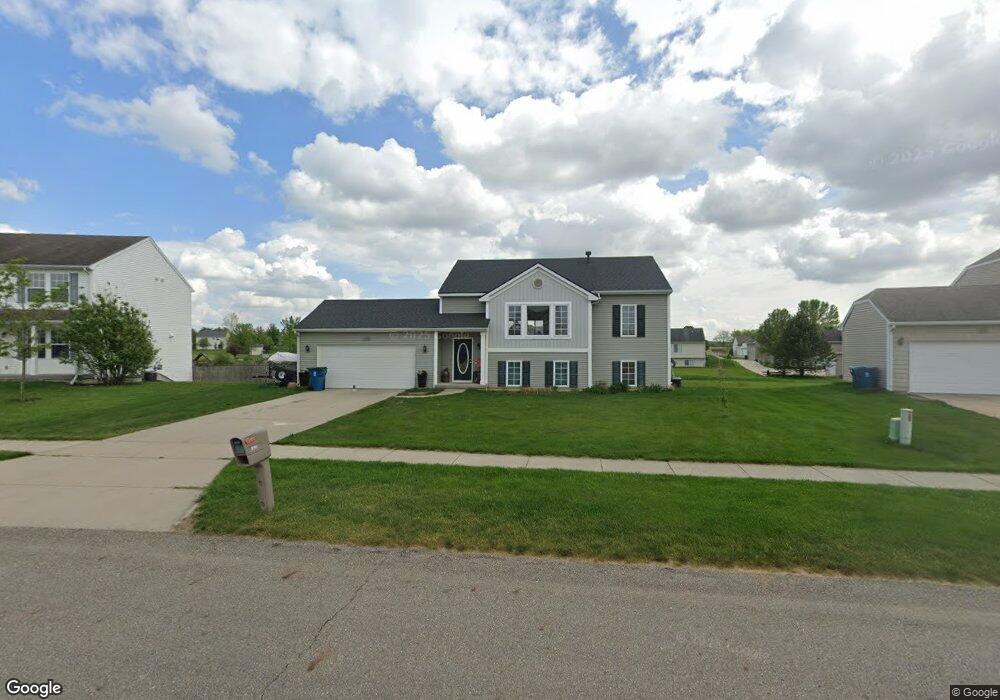
2102 Waler Dr Hudsonville, MI 49426
Estimated Value: $390,000 - $427,000
3
Beds
2
Baths
1,182
Sq Ft
$343/Sq Ft
Est. Value
About This Home
This home is located at 2102 Waler Dr, Hudsonville, MI 49426 and is currently estimated at $405,002, approximately $342 per square foot. 2102 Waler Dr is a home located in Ottawa County with nearby schools including Riley Street Middle School, Hudsonville Freshman Campus, and Hudsonville High School.
Ownership History
Date
Name
Owned For
Owner Type
Purchase Details
Closed on
Apr 26, 2008
Sold by
G & C Land Co Llc
Bought by
Mcdonald Ryan and Mcdonald Amy
Current Estimated Value
Home Financials for this Owner
Home Financials are based on the most recent Mortgage that was taken out on this home.
Original Mortgage
$37,798
Outstanding Balance
$23,925
Interest Rate
5.87%
Mortgage Type
Stand Alone First
Estimated Equity
$381,077
Create a Home Valuation Report for This Property
The Home Valuation Report is an in-depth analysis detailing your home's value as well as a comparison with similar homes in the area
Home Values in the Area
Average Home Value in this Area
Purchase History
| Date | Buyer | Sale Price | Title Company |
|---|---|---|---|
| Mcdonald Ryan | $38,298 | None Available |
Source: Public Records
Mortgage History
| Date | Status | Borrower | Loan Amount |
|---|---|---|---|
| Open | Mcdonald Ryan | $37,798 | |
| Open | Mcdonald Ryan | $111,401 |
Source: Public Records
Tax History Compared to Growth
Tax History
| Year | Tax Paid | Tax Assessment Tax Assessment Total Assessment is a certain percentage of the fair market value that is determined by local assessors to be the total taxable value of land and additions on the property. | Land | Improvement |
|---|---|---|---|---|
| 2025 | $2,717 | $170,600 | $0 | $0 |
| 2024 | $2,146 | $157,100 | $0 | $0 |
| 2023 | $2,049 | $133,800 | $0 | $0 |
| 2022 | $2,469 | $121,500 | $0 | $0 |
| 2021 | $2,405 | $116,800 | $0 | $0 |
| 2020 | $2,379 | $111,700 | $0 | $0 |
| 2019 | $2,343 | $107,600 | $0 | $0 |
| 2018 | $2,189 | $96,500 | $0 | $0 |
| 2017 | $2,146 | $96,500 | $0 | $0 |
| 2016 | -- | $84,600 | $0 | $0 |
| 2015 | -- | $79,100 | $0 | $0 |
| 2014 | -- | $73,800 | $0 | $0 |
Source: Public Records
Map
Nearby Homes
- 1900 Quincy St SW
- 3844 Highbury Dr Unit 17
- 3740 Leenheer Dr
- Silverton Plan at Waterton - Waterton Village Condos
- Ashford Plan at Waterton - Waterton Village Condos
- Remington Plan at Waterton - Select
- Enclave Plan at Waterton - Select
- Croswell Plan at Waterton - Classic
- Cascade Plan at Waterton - Select
- Carson Plan at Waterton - Select
- Avery Plan at Waterton - Select
- Ashton Plan at Waterton - Select
- Andover Plan at Waterton - Classic
- Norwood Plan at Waterton - Waterton Pointe Condos
- Encore Plan at Waterton - Waterton Pointe Condos
- Carrington Plan at Waterton - Waterton Pointe Condos
- Sycamore Plan at Waterton - Woodland Series
- Sequoia Plan at Waterton - Woodland Series
- Redwood Plan at Waterton - Woodland Series
- Oakwood Plan at Waterton - Woodland Series
- 2090 Waler Dr
- 2114 Waler Dr
- 2078 Waler Dr
- 2103 Jaclyn Dr
- 2091 Jaclyn Dr
- 4146 Jesslee Dr
- 2101 Waler Dr
- 2117 Jaclyn Dr
- 2117 Waler Dr
- 2079 Jaclyn Dr
- 2077 Waler Dr
- 2070 Waler Dr
- 2131 Jaclyn Dr
- 2065 Waler Dr
- 2052 Waler Dr
- 2067 Jaclyn Dr
- 2058 Waler Dr
- 2058 Waler Dr Unit 44
- 4165 Jesslee Dr
- 4196 Shetland Dr