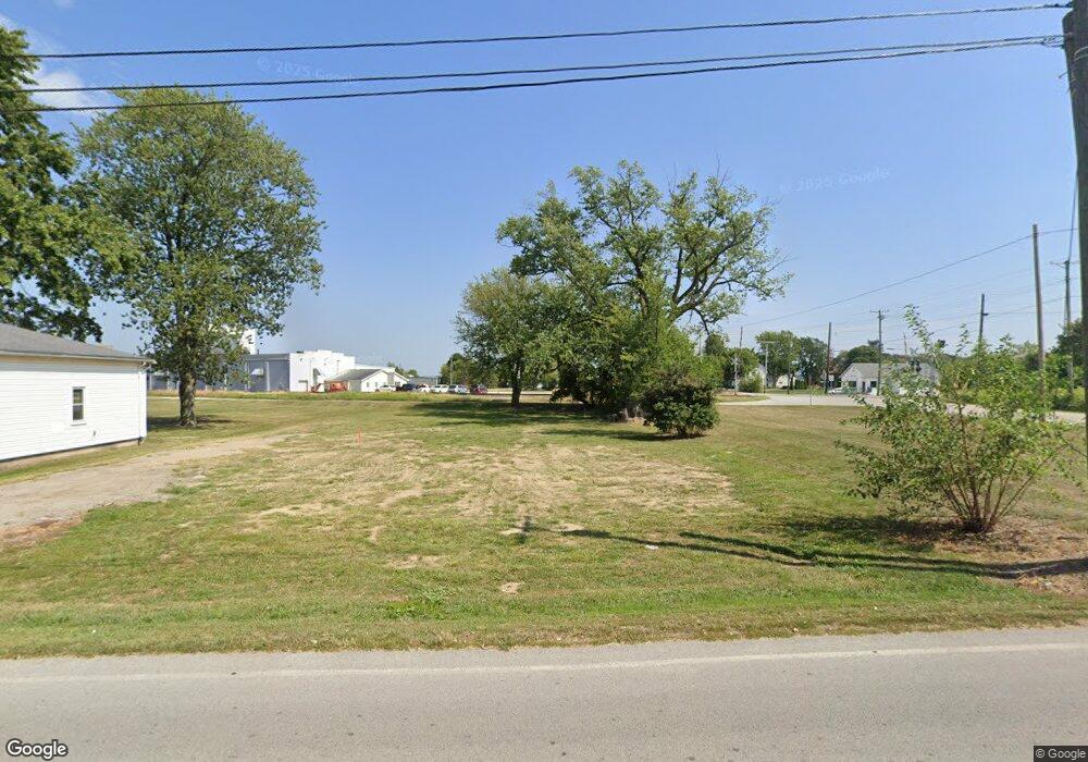
21020 Dunbridge Rd Dunbridge, OH 43414
Estimated Value: $156,518 - $190,000
3
Beds
1
Bath
1,825
Sq Ft
$92/Sq Ft
Est. Value
About This Home
This home is located at 21020 Dunbridge Rd, Dunbridge, OH 43414 and is currently estimated at $168,173, approximately $92 per square foot. 21020 Dunbridge Rd is a home with nearby schools including Pemberville Elementary School, Eastwood Middle School, and Eastwood High School.
Ownership History
Date
Name
Owned For
Owner Type
Purchase Details
Closed on
Mar 28, 2024
Sold by
Poe Investment Properties Llc
Bought by
Northwestern Water And Sewer District
Current Estimated Value
Purchase Details
Closed on
Dec 22, 2010
Sold by
Springstead Gilbert E and Springstead Judith A
Bought by
Poe Investment Properties Llc
Home Financials for this Owner
Home Financials are based on the most recent Mortgage that was taken out on this home.
Original Mortgage
$100,000
Interest Rate
4.44%
Mortgage Type
Future Advance Clause Open End Mortgage
Purchase Details
Closed on
Sep 3, 1985
Bought by
Springstead Gilbert E
Create a Home Valuation Report for This Property
The Home Valuation Report is an in-depth analysis detailing your home's value as well as a comparison with similar homes in the area
Home Values in the Area
Average Home Value in this Area
Purchase History
| Date | Buyer | Sale Price | Title Company |
|---|---|---|---|
| Northwestern Water And Sewer District | $145,000 | None Listed On Document | |
| Poe Investment Properties Llc | $57,200 | Louisville Title | |
| Springstead Gilbert E | $13,600 | -- |
Source: Public Records
Mortgage History
| Date | Status | Borrower | Loan Amount |
|---|---|---|---|
| Previous Owner | Poe Investment Properties Llc | $100,000 |
Source: Public Records
Tax History Compared to Growth
Tax History
| Year | Tax Paid | Tax Assessment Tax Assessment Total Assessment is a certain percentage of the fair market value that is determined by local assessors to be the total taxable value of land and additions on the property. | Land | Improvement |
|---|---|---|---|---|
| 2024 | $977 | $24,640 | $6,020 | $18,620 |
| 2023 | $977 | $24,640 | $6,020 | $18,620 |
| 2021 | $964 | $21,950 | $4,800 | $17,150 |
| 2020 | $973 | $21,950 | $4,800 | $17,150 |
| 2019 | $877 | $19,330 | $4,800 | $14,530 |
| 2018 | $877 | $19,330 | $4,800 | $14,530 |
| 2017 | $392 | $19,330 | $4,800 | $14,530 |
| 2016 | $754 | $17,750 | $4,800 | $12,950 |
| 2015 | $754 | $17,750 | $4,800 | $12,950 |
| 2014 | $840 | $17,750 | $4,800 | $12,950 |
| 2013 | $895 | $17,750 | $4,800 | $12,950 |
Source: Public Records
Map
Nearby Homes
- 0 Elm St
- 11232 Elm St
- 10492 Dowling Rd
- 11628 Sugar Ridge Rd
- 0 Sugar Ridge
- 0 King Rd Unit 10000333
- 10917 Nelson Rd
- 12865 Five Point Rd
- 4911 Prestonwood Rd
- 102 Kinloch Dr
- 4956 Prestonwood Rd
- 8949 Five Point Rd
- 100 Bentley Dr
- 197 Valley Hall Dr
- 1723 Wexford
- Canterbury Plan at Northwest Ohio Collection
- 24557 W 3rd St
- 24537 W 3rd St
- Limerick Plan at Northwest Ohio Collection
- Oleander Plan at Northwest Ohio Collection
- 21025 Dunbridge Rd
- 10995 Middleton Pike
- 21035 Dunbridge Rd
- 12026 Middleton Pike
- 20936 Dunbridge Rd
- 11026 Middleton Pike
- 20936 Dunbridge Rd
- 20985 Center St
- 20936 Dunbridge Rd
- 20926 Center St
- 12026 Middleton Pike
- 21035 Center St
- 11021 Middleton Pike
- 21100 Dunbridge Rd
- 20936 Dunbridge Rd
- 20830 Dunbridge Rd
- 20872 Dunbridge Rd
- 10850 Middleton Pike
- 11029 Middleton Pike
- 20921 Dunbridge Rd