21020 Hillside Rd Fulton, IL 61252
Estimated Value: $138,154 - $195,000
--
Bed
--
Bath
--
Sq Ft
2
Acres
About This Home
This home is located at 21020 Hillside Rd, Fulton, IL 61252 and is currently estimated at $158,051. 21020 Hillside Rd is a home located in Whiteside County with nearby schools including Fulton Elementary School, River Bend Middle School, and Fulton High School.
Ownership History
Date
Name
Owned For
Owner Type
Purchase Details
Closed on
Mar 1, 2024
Sold by
Stoecker Patricia K
Bought by
Stoeckers Paradise Hill Llc
Current Estimated Value
Purchase Details
Closed on
Sep 10, 2010
Sold by
Greeley Allan R and Greeley Rhonda J
Bought by
Greeley William N
Home Financials for this Owner
Home Financials are based on the most recent Mortgage that was taken out on this home.
Original Mortgage
$68,000
Interest Rate
4.54%
Mortgage Type
New Conventional
Create a Home Valuation Report for This Property
The Home Valuation Report is an in-depth analysis detailing your home's value as well as a comparison with similar homes in the area
Home Values in the Area
Average Home Value in this Area
Purchase History
| Date | Buyer | Sale Price | Title Company |
|---|---|---|---|
| Stoeckers Paradise Hill Llc | $611,000 | None Listed On Document | |
| Greeley William N | -- | None Available |
Source: Public Records
Mortgage History
| Date | Status | Borrower | Loan Amount |
|---|---|---|---|
| Previous Owner | Greeley William N | $68,000 |
Source: Public Records
Tax History Compared to Growth
Tax History
| Year | Tax Paid | Tax Assessment Tax Assessment Total Assessment is a certain percentage of the fair market value that is determined by local assessors to be the total taxable value of land and additions on the property. | Land | Improvement |
|---|---|---|---|---|
| 2024 | $2,201 | $37,201 | $5,038 | $32,163 |
| 2023 | $2,081 | $35,121 | $4,335 | $30,786 |
| 2022 | $2,011 | $33,277 | $4,107 | $29,170 |
| 2021 | $1,969 | $32,127 | $3,965 | $28,162 |
| 2020 | $1,924 | $31,028 | $3,829 | $27,199 |
| 2019 | $1,992 | $31,418 | $3,877 | $27,541 |
| 2018 | $1,980 | $30,688 | $3,787 | $26,901 |
| 2017 | $1,846 | $28,789 | $4,013 | $24,776 |
| 2016 | $1,795 | $27,907 | $3,890 | $24,017 |
| 2015 | $1,728 | $27,556 | $2,079 | $25,477 |
| 2014 | $1,665 | $26,550 | $2,003 | $24,547 |
| 2013 | $1,728 | $27,556 | $2,079 | $25,477 |
Source: Public Records
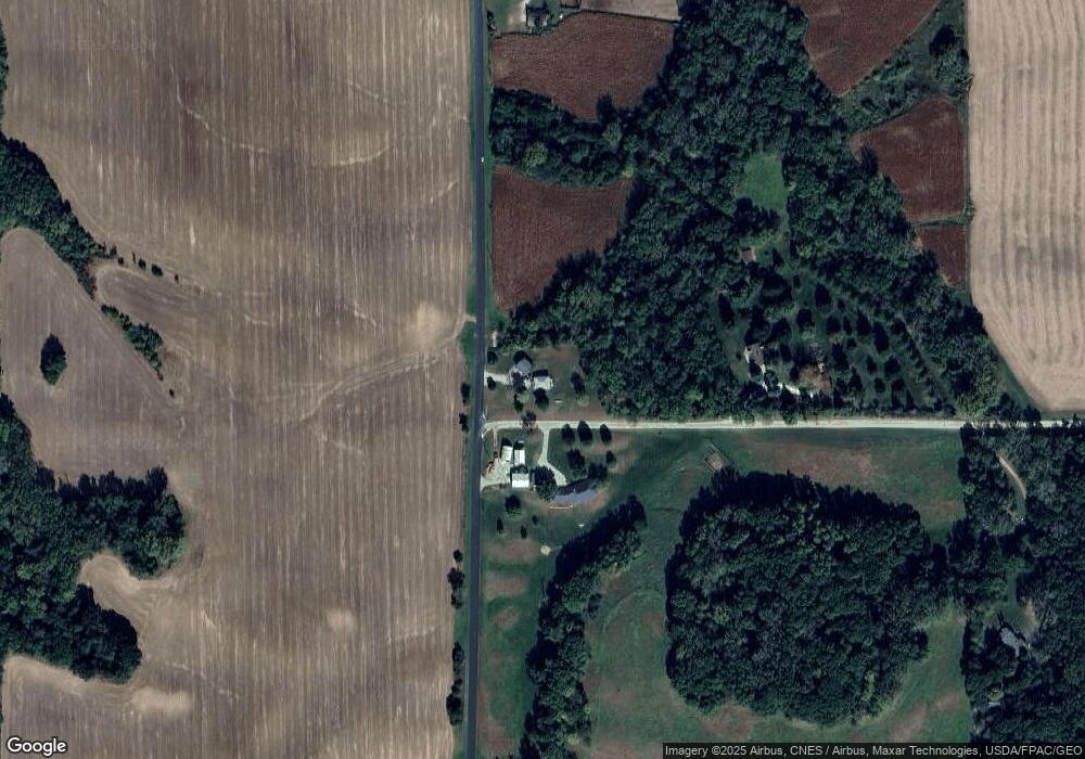
Map
Nearby Homes
- 9896 Lincoln Rd
- 0 Crosby Rd Unit 24279391
- 0 Crosby Rd Unit MRD12414204
- 0 Spring Valley Rd Unit 24279635
- 12851 Argo Fay Route
- 0 Capp Rd
- 0000 Adolph Rd
- 13629 Garden Plain Rd
- Lot 21 Masters Dr
- Lot 20 Masters Dr
- Lot 19 Masters Dr
- Lot 18 Masters Dr
- Lot 17 Masters Dr
- 13912 Lincoln Rd
- 2000 Illinois Route 84
- 8039 Hazel Rd
- 2104 Illinois Route 84
- 1002 Locust St
- 15344 Norrish Rd
- 814 W Park St