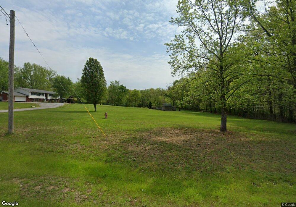
Estimated Value: $190,000 - $320,687
--
Bed
--
Bath
--
Sq Ft
5
Acres
About This Home
This home is located at 21022 N Duncan Ln, Dix, IL 62830 and is currently estimated at $273,672. 21022 N Duncan Ln is a home located in Jefferson County with nearby schools including Rome Grade School and Mount Vernon High School.
Ownership History
Date
Name
Owned For
Owner Type
Purchase Details
Closed on
Jan 9, 2009
Sold by
Home State Bank/National Association
Bought by
Burke Patrick A and Burke Kathryn L
Current Estimated Value
Home Financials for this Owner
Home Financials are based on the most recent Mortgage that was taken out on this home.
Original Mortgage
$100,000
Outstanding Balance
$65,523
Interest Rate
5.96%
Mortgage Type
VA
Estimated Equity
$208,149
Purchase Details
Closed on
Jan 28, 2008
Sold by
Dacanay Lenard S
Bought by
Home State Bank Na
Purchase Details
Closed on
Jun 9, 2006
Sold by
Illini Christian Ministries Inc
Bought by
Dacanay Lenard S
Home Financials for this Owner
Home Financials are based on the most recent Mortgage that was taken out on this home.
Original Mortgage
$907,783
Interest Rate
7.5%
Mortgage Type
Purchase Money Mortgage
Create a Home Valuation Report for This Property
The Home Valuation Report is an in-depth analysis detailing your home's value as well as a comparison with similar homes in the area
Home Values in the Area
Average Home Value in this Area
Purchase History
| Date | Buyer | Sale Price | Title Company |
|---|---|---|---|
| Burke Patrick A | $136,000 | None Available | |
| Home State Bank Na | -- | None Available | |
| Dacanay Lenard S | $136,000 | None Available |
Source: Public Records
Mortgage History
| Date | Status | Borrower | Loan Amount |
|---|---|---|---|
| Open | Burke Patrick A | $100,000 | |
| Previous Owner | Dacanay Lenard S | $907,783 |
Source: Public Records
Tax History Compared to Growth
Tax History
| Year | Tax Paid | Tax Assessment Tax Assessment Total Assessment is a certain percentage of the fair market value that is determined by local assessors to be the total taxable value of land and additions on the property. | Land | Improvement |
|---|---|---|---|---|
| 2024 | -- | $79,589 | $6,169 | $73,420 |
| 2023 | -- | $70,639 | $5,475 | $65,164 |
| 2022 | -- | $61,964 | $4,803 | $57,161 |
| 2021 | $0 | $59,013 | $4,574 | $54,439 |
| 2020 | $0 | $55,153 | $4,275 | $50,878 |
| 2019 | $0 | $55,153 | $4,275 | $50,878 |
| 2018 | $0 | $55,153 | $4,275 | $50,878 |
| 2017 | $0 | $55,153 | $4,275 | $50,878 |
| 2016 | $0 | $55,153 | $4,275 | $50,878 |
| 2015 | -- | $55,153 | $4,275 | $50,878 |
| 2014 | -- | $55,153 | $4,275 | $50,878 |
| 2013 | $2,646 | $46,003 | $3,566 | $42,437 |
Source: Public Records
Map
Nearby Homes
- 9559 E Dix Irvington Rd
- 11968 E Goshen Meadows Rd
- 000 E Beal Rd
- 22035 N Old Centralia Ln
- 20458 N Boyd Ln
- 11799 E Webb Rd
- Tract 2 N Mcdermott Ln
- Tract 4 N Mcdermott Ln
- Tract 6 N Mcdermott Ln
- Tract 1 N Mcdermott Ln
- Tract 3 N Mcdermott Ln
- Tract 5 N Mcdermott Ln
- Tract 7 N Mcdermott Ln
- 17315 N Old Salem Ln
- 18939 N Justin Ln
- Lot 44 B Oak Shore Dr
- 11657 E Radio Tower Rd
- 625 State Route 37
- 11675 E Radio Tower Rd
- Lots 50-51 Deer Park Dr
- 20884 N Duncan Ln
- 0 Duncan Ln
- 315 Duncan Ln
- 20830 N Duncan Ln
- 20730 N Duncan Ln
- 940 Miller St
- 302 W 16 17 18 St Unit 16, 1
- 0000 W Oak Shores Dr
- 00 E Snyder
- 00 Snapdragon Tract 3
- 00 Snapdragon Tract 1
- 0000 W South St
- 20707 N Duncan Ln
- 4 Warren Way
- 1 Warren Way
- 25 Carretera Km 88
- 6 Warren Way
- 8 Warren Way
- 00 E Dix Irvington Rd
- - Duncan Ln
