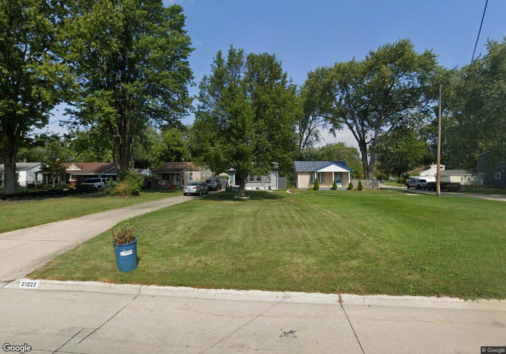
21022 Pinecrest St Taylor, MI 48180
Estimated Value: $115,945 - $156,000
Studio
--
Bath
904
Sq Ft
$152/Sq Ft
Est. Value
About This Home
This home is located at 21022 Pinecrest St, Taylor, MI 48180 and is currently estimated at $136,986, approximately $151 per square foot. 21022 Pinecrest St is a home located in Wayne County with nearby schools including Taylor Parks Elementary School and Robert J. West Middle School.
Ownership History
Date
Name
Owned For
Owner Type
Purchase Details
Closed on
Jan 15, 2020
Sold by
Julio Michael Lea
Bought by
Emond Irene
Current Estimated Value
Home Financials for this Owner
Home Financials are based on the most recent Mortgage that was taken out on this home.
Original Mortgage
$73,150
Outstanding Balance
$65,556
Interest Rate
4.37%
Mortgage Type
FHA
Estimated Equity
$71,430
Purchase Details
Closed on
Feb 15, 2018
Sold by
Nationstar Mortgage Llc
Bought by
Julio Michael Lea
Purchase Details
Closed on
Jun 1, 2017
Sold by
Worley Sharlen L
Bought by
Wells Fargo Bank N A
Create a Home Valuation Report for This Property
The Home Valuation Report is an in-depth analysis detailing your home's value as well as a comparison with similar homes in the area
Home Values in the Area
Average Home Value in this Area
Purchase History
| Date | Buyer | Sale Price | Title Company |
|---|---|---|---|
| Emond Irene | $74,500 | Ata National Title Group Llc | |
| Julio Michael Lea | $33,340 | Balvenie Title | |
| Wells Fargo Bank N A | $40,500 | None Available |
Source: Public Records
Mortgage History
| Date | Status | Borrower | Loan Amount |
|---|---|---|---|
| Open | Emond Irene | $73,150 |
Source: Public Records
Tax History
| Year | Tax Paid | Tax Assessment Tax Assessment Total Assessment is a certain percentage of the fair market value that is determined by local assessors to be the total taxable value of land and additions on the property. | Land | Improvement |
|---|---|---|---|---|
| 2025 | $1,750 | $56,900 | $0 | $0 |
| 2024 | $1,695 | $50,000 | $0 | $0 |
| 2023 | $2,020 | $42,200 | $0 | $0 |
| 2022 | $1,617 | $36,600 | $0 | $0 |
| 2021 | $1,777 | $34,300 | $0 | $0 |
| 2020 | $1,457 | $29,800 | $0 | $0 |
| 2019 | $112,651 | $14,200 | $0 | $0 |
| 2018 | $1,088 | $25,400 | $0 | $0 |
| 2017 | $1,143 | $25,100 | $0 | $0 |
| 2016 | $1,482 | $24,400 | $0 | $0 |
| 2015 | $2,398 | $24,000 | $0 | $0 |
| 2013 | $2,390 | $24,900 | $0 | $0 |
| 2012 | $892 | $24,300 | $6,300 | $18,000 |
Source: Public Records
Map
Nearby Homes
- 20916 Pinecrest St
- 6485 Huron St
- 7235 Mortenview Dr
- 7267 William St
- 20233 Pinecrest St
- 6764 Jackson St
- 7571 William St
- 7124 Weddel St
- 7120 Jackson St
- 7580 Mayfair St
- 7882 Campbell St
- 7169 Ziegler St
- 5921 Merrick St
- 7972 Hipp St
- 6730 Buckingham Ave
- 5873 Merrick St
- 7854 Jackson St
- 5907 William St
- 7210 Buckingham Ave
- 8029 Roosevelt St
- 21030 Pinecrest St
- 21042 Pinecrest St
- 6662 Harding St
- 21046 Pinecrest St
- 6654 Harding St
- 20948 Pinecrest St
- 6681 Mortenview Dr
- 21058 Pinecrest St
- 6671 Mortenview Dr Unit Bldg-Unit
- 6671 Mortenview Dr
- 6646 Harding St
- 6647 Harding St
- 6663 Mortenview Dr
- Mortenview Dr
- 6638 Harding St
- 20924 Pinecrest St
- 6647 Mortenview Dr
- 6639 Harding St
- 6630 Harding St
- 21108 Pinecrest St
Your Personal Tour Guide
Ask me questions while you tour the home.