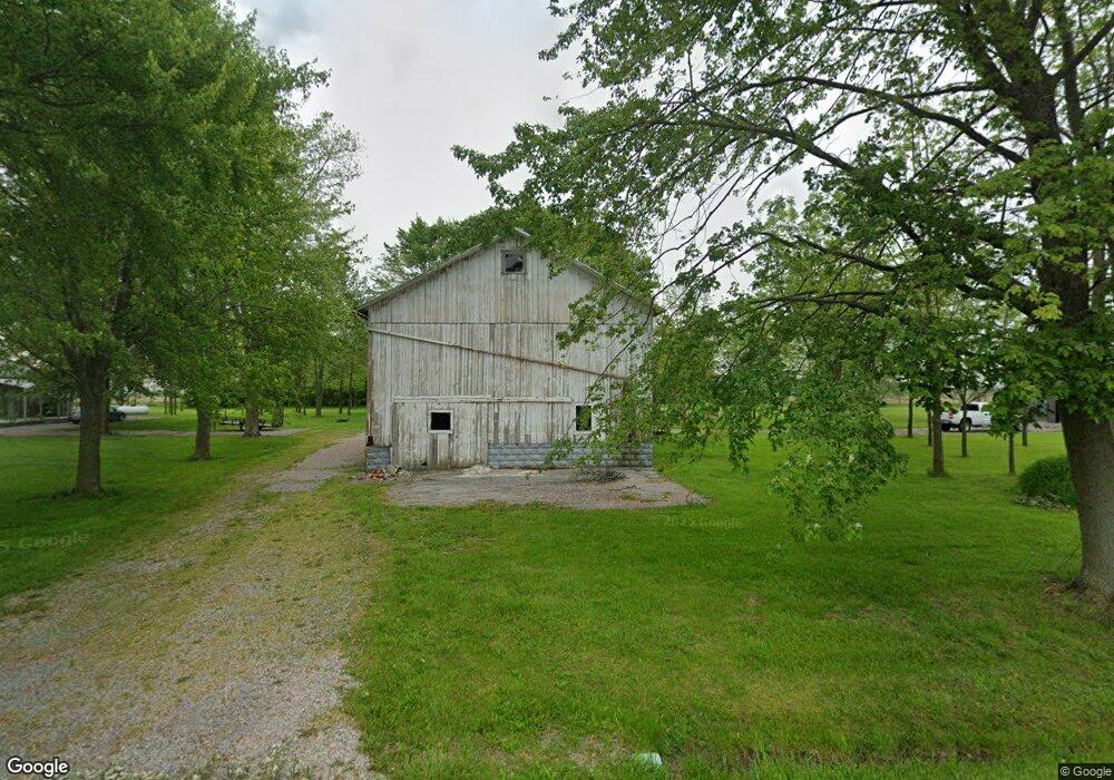
21022 Us Route 224 Middle Point, OH 45863
Estimated Value: $135,000 - $201,371
2
Beds
1
Bath
1,076
Sq Ft
$154/Sq Ft
Est. Value
About This Home
This home is located at 21022 Us Route 224, Middle Point, OH 45863 and is currently estimated at $165,593, approximately $153 per square foot. 21022 Us Route 224 is a home located in Van Wert County with nearby schools including Lincolnview Elementary School and Lincolnview Junior/Senior High School.
Ownership History
Date
Name
Owned For
Owner Type
Purchase Details
Closed on
Nov 27, 2016
Sold by
Williams Chad T and Williams Jenifer R
Bought by
Dobson Raymond T
Current Estimated Value
Home Financials for this Owner
Home Financials are based on the most recent Mortgage that was taken out on this home.
Original Mortgage
$81,300
Outstanding Balance
$64,494
Interest Rate
3.47%
Mortgage Type
Purchase Money Mortgage
Estimated Equity
$101,099
Purchase Details
Closed on
Nov 21, 2011
Sold by
Williams Sheena M
Bought by
Williams Chad T
Purchase Details
Closed on
Sep 29, 2009
Sold by
Christman Daniel and Christman Lacy
Bought by
Williams Chad T and Williams Sheena M
Home Financials for this Owner
Home Financials are based on the most recent Mortgage that was taken out on this home.
Original Mortgage
$79,000
Interest Rate
5.19%
Mortgage Type
New Conventional
Purchase Details
Closed on
Nov 17, 2006
Sold by
Looser John S and Looser Mary L
Bought by
Christman Daniel and Strukamp Lacy
Home Financials for this Owner
Home Financials are based on the most recent Mortgage that was taken out on this home.
Original Mortgage
$75,404
Interest Rate
6.33%
Mortgage Type
FHA
Purchase Details
Closed on
Jan 11, 2001
Bought by
Christman Daniel and Christman Lacy S
Create a Home Valuation Report for This Property
The Home Valuation Report is an in-depth analysis detailing your home's value as well as a comparison with similar homes in the area
Purchase History
| Date | Buyer | Sale Price | Title Company |
|---|---|---|---|
| Dobson Raymond T | $85,600 | Attorney | |
| Williams Chad T | -- | Attorney | |
| Williams Chad T | $79,000 | Attorney | |
| Christman Daniel | $76,000 | Rels Title | |
| Christman Daniel | $76,000 | -- | |
| Christman Daniel | $76,000 | -- |
Source: Public Records
Mortgage History
| Date | Status | Borrower | Loan Amount |
|---|---|---|---|
| Open | Dobson Raymond T | $81,300 | |
| Previous Owner | Williams Chad T | $79,000 | |
| Previous Owner | Christman Daniel | $75,404 |
Source: Public Records
Tax History
| Year | Tax Paid | Tax Assessment Tax Assessment Total Assessment is a certain percentage of the fair market value that is determined by local assessors to be the total taxable value of land and additions on the property. | Land | Improvement |
|---|---|---|---|---|
| 2025 | $1,494 | $46,990 | $14,980 | $32,010 |
| 2024 | $1,494 | $46,990 | $14,980 | $32,010 |
| 2023 | $1,486 | $41,160 | $14,980 | $26,180 |
| 2022 | $1,353 | $31,380 | $11,900 | $19,480 |
| 2021 | $1,310 | $30,760 | $11,900 | $18,860 |
| 2020 | $1,306 | $30,760 | $11,900 | $18,860 |
| 2019 | $1,096 | $27,810 | $10,500 | $17,310 |
| 2018 | $1,083 | $27,810 | $10,500 | $17,310 |
| 2017 | $977 | $27,810 | $10,500 | $17,310 |
| 2016 | $873 | $25,650 | $9,930 | $15,720 |
| 2015 | $859 | $25,650 | $9,930 | $15,720 |
| 2014 | $880 | $25,290 | $9,930 | $15,360 |
| 2013 | $1,057 | $25,290 | $9,930 | $15,360 |
Source: Public Records
Map
Nearby Homes
- 0 Road 28
- 180 3rd St
- 17089 Feasby Wisener Rd
- 608 N Adams St
- 9450 Gamble Rd
- 23960 T-1018
- 308 S Jefferson St
- 537 / 539 Toomey
- 201 N Main St
- 709 W 4th St
- 702 N Main St
- 629 N Main St
- 610 N Washington St
- 628 N Pierce St
- 201 E 5th St
- 221 S Main St
- 821 E 3rd St
- 424 S Canal St
- 1000 Colettas Way
- 483 S Franklin St
- 21031 Us Route 224
- 21092 Us Route 224
- 20902 Us Route 224
- 5229 Converse Roselm Rd
- 21281 Us Route 224
- 20606 Us Route 224
- 20606 U S 224
- 4678 Adams Rd
- 5626 Converse Roselm Rd
- 20346 Us Route 224
- 5731 Converse Roselm Rd
- 4310 Converse Roselm Rd
- 5765 Adams Rd
- 4108 Converse Roselm Rd
- 5486 Bockey Rd
- 27976 Us Route 224
- 20645 Convoy Rd
- 4730 Bockey Rd
Your Personal Tour Guide
Ask me questions while you tour the home.