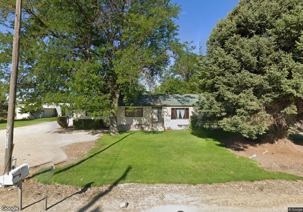
21027 Notus Rd Greenleaf, ID 83626
Estimated Value: $757,000 - $925,941
4
Beds
2
Baths
1,877
Sq Ft
$442/Sq Ft
Est. Value
About This Home
This home is located at 21027 Notus Rd, Greenleaf, ID 83626 and is currently estimated at $830,314, approximately $442 per square foot. 21027 Notus Rd is a home located in Canyon County with nearby schools including West Canyon Elementary School, Vallivue Middle School, and Vallivue High School.
Ownership History
Date
Name
Owned For
Owner Type
Purchase Details
Closed on
Jan 25, 2006
Sold by
Griffiths Virginia W
Bought by
Djk Llc
Current Estimated Value
Home Financials for this Owner
Home Financials are based on the most recent Mortgage that was taken out on this home.
Original Mortgage
$1,350,000
Interest Rate
7%
Mortgage Type
Unknown
Purchase Details
Closed on
Apr 1, 2005
Sold by
Griffiths Virginia W
Bought by
Griffiths Virginia W
Create a Home Valuation Report for This Property
The Home Valuation Report is an in-depth analysis detailing your home's value as well as a comparison with similar homes in the area
Home Values in the Area
Average Home Value in this Area
Purchase History
| Date | Buyer | Sale Price | Title Company |
|---|---|---|---|
| Djk Llc | -- | None Available | |
| Djk Llc | -- | None Available | |
| Griffiths Virginia W | -- | -- |
Source: Public Records
Mortgage History
| Date | Status | Borrower | Loan Amount |
|---|---|---|---|
| Closed | Djk Llc | $1,350,000 |
Source: Public Records
Tax History Compared to Growth
Tax History
| Year | Tax Paid | Tax Assessment Tax Assessment Total Assessment is a certain percentage of the fair market value that is determined by local assessors to be the total taxable value of land and additions on the property. | Land | Improvement |
|---|---|---|---|---|
| 2025 | $4,424 | $772,360 | $472,660 | $299,700 |
| 2024 | $4,424 | $739,330 | $462,030 | $277,300 |
| 2023 | $4,457 | $745,840 | $472,740 | $273,100 |
| 2022 | $4,457 | $738,530 | $488,730 | $249,800 |
| 2021 | $5,091 | $544,170 | $326,270 | $217,900 |
| 2020 | $5,011 | $441,420 | $279,020 | $162,400 |
| 2019 | $5,354 | $422,760 | $256,860 | $165,900 |
| 2018 | $5,068 | $0 | $0 | $0 |
| 2017 | $4,652 | $0 | $0 | $0 |
| 2016 | $3,995 | $0 | $0 | $0 |
| 2015 | $3,559 | $0 | $0 | $0 |
| 2014 | $3,341 | $223,080 | $116,680 | $106,400 |
Source: Public Records
Map
Nearby Homes
- 20574 Brown St
- 20894 Friends Rd
- 20106 Lower Pleasant Ridge Rd Unit 29
- 21017 Cottonwood Dr
- 21021 Cottonwood Dr
- 21325 Cessna Ct
- TBD Simplot Blvd
- 19276 Quarter Mile Ln
- 19250 Quarter Mile Ln
- 20777 Upper Pleasant Ridge Rd
- 18396 Lower Pleasant Ridge Rd
- 18835 Upper Pleasant Ridge Rd
- 000 Lower Pleasant Ridge Rd
- TBD Upper Pleasant Ridge Rd
- 20383 Maggard Ln
- TBD Deer Flat Rd
- 21474 Ustick Rd
- 18018 Artist Way
- 20118 Kremmwood Dr
- 251
- 21168 Notus Rd
- 20707 Peckham Rd
- 21140 Notus Rd
- 21246 Notus Rd
- 21260 Notus Rd
- 21276 Notus Rd
- 0 Notus Rd Unit 98546768
- 0 Notus Rd Unit 98571304
- 20883 Peckham Rd
- 20626 Notus Rd
- 20901 Peckham Rd
- 0 Peckham Rd Unit 98609613
- 20154 Ebenezer Ln
- 21386 Notus Rd
- 21312 Notus Rd
- 20552 Notus Rd
- 20268 Simplot Blvd
- 21010 Peckham Rd
- 20320 Simplot Blvd
- 21012 Peckham Rd