Estimated Value: $320,019 - $375,000
3
Beds
2
Baths
1,300
Sq Ft
$266/Sq Ft
Est. Value
About This Home
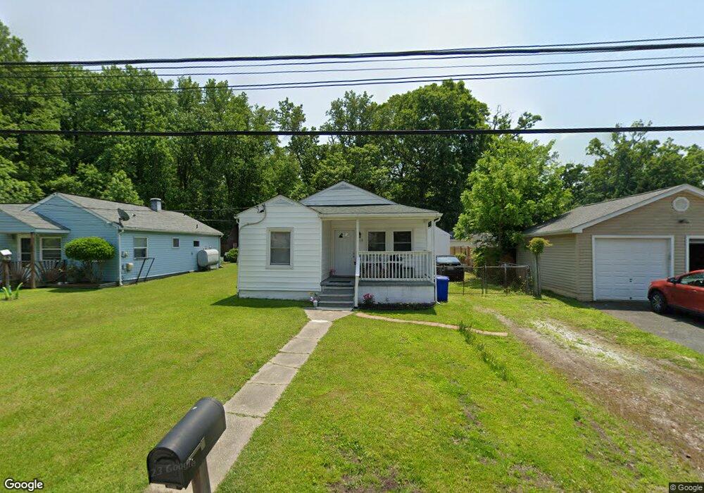
This home is located at 2103 Anthony Ave, Essex, MD 21221 and is currently estimated at $346,255, approximately $266 per square foot. 2103 Anthony Ave is a home located in Baltimore County with nearby schools including Middleborough Elementary School, Deep Creek Middle, and Chesapeake High School.
Ownership History
Date
Name
Owned For
Owner Type
Purchase Details
Closed on
Nov 9, 2022
Sold by
Anntallon Kathy
Bought by
Monumental Development Llc
Current Estimated Value
Home Financials for this Owner
Home Financials are based on the most recent Mortgage that was taken out on this home.
Original Mortgage
$152,500
Outstanding Balance
$147,771
Interest Rate
6.95%
Mortgage Type
New Conventional
Estimated Equity
$198,484
Purchase Details
Closed on
Oct 19, 1978
Sold by
Clark Walter C
Bought by
Neal Charles Clifton and Neal Linda Ann
Create a Home Valuation Report for This Property
The Home Valuation Report is an in-depth analysis detailing your home's value as well as a comparison with similar homes in the area
Home Values in the Area
Average Home Value in this Area
Purchase History
| Date | Buyer | Sale Price | Title Company |
|---|---|---|---|
| Monumental Development Llc | $120,000 | New World Title | |
| Neal Charles Clifton | $30,000 | -- |
Source: Public Records
Mortgage History
| Date | Status | Borrower | Loan Amount |
|---|---|---|---|
| Open | Monumental Development Llc | $152,500 |
Source: Public Records
Tax History Compared to Growth
Tax History
| Year | Tax Paid | Tax Assessment Tax Assessment Total Assessment is a certain percentage of the fair market value that is determined by local assessors to be the total taxable value of land and additions on the property. | Land | Improvement |
|---|---|---|---|---|
| 2025 | $3,381 | $216,233 | -- | -- |
| 2024 | $3,381 | $179,467 | $0 | $0 |
| 2023 | $2,564 | $142,700 | $77,100 | $65,600 |
| 2022 | $2,516 | $141,567 | $0 | $0 |
| 2021 | $5,679 | $140,433 | $0 | $0 |
| 2020 | $5,679 | $139,300 | $77,100 | $62,200 |
| 2019 | $2,735 | $138,633 | $0 | $0 |
| 2018 | $2,627 | $137,967 | $0 | $0 |
| 2017 | $2,470 | $137,300 | $0 | $0 |
| 2016 | -- | $135,367 | $0 | $0 |
| 2015 | $2,626 | $133,433 | $0 | $0 |
| 2014 | $2,626 | $131,500 | $0 | $0 |
Source: Public Records
Map
Nearby Homes
- 311 Greyhound Rd
- 2036 William Ave
- 2042 Hackberry Rd
- 3 Lacebark Ct
- 2034 William Ave
- 2028 William Ave
- Parcel on Park Dr
- 0 Sue Grove Rd Unit MDBC2111384
- 2327 Turkey Point Rd
- 2316 Bauernschmidt Dr
- 1936 Newhaven Dr
- 312 Long Cove Ln
- 1920 Sue Ave
- 863 Sue Grove Rd
- 502 Brighton Place
- 516 Brighton Place
- 1937 Cape May Rd
- 0 Chesapeake Ave
- 1206 Chesapeake Ave
- 2400 Holly Neck Rd
- 2105 Anthony Ave
- 319 Greyhound Rd
- 321 Greyhound Rd
- 317 Greyhound Rd
- 313 Greyhound Rd
- 2102 Anthony Ave
- 2104 Anthony Ave
- 309 Greyhound Rd
- 320 Greyhound Rd
- 318 Greyhound Rd
- 316 Greyhound Rd
- 2109 Rosalie Ave
- 2111 Rosalie Ave
- 314 Greyhound Rd
- 2115 Rosalie Ave
- 2113 Rosalie Ave
- 310 Greyhound Rd
- 2104 Rosalie Ave
- 304 Greyhound Rd
- 2100 Rosalie Ave