2103 Aries Ln La Grande, OR 97850
Estimated Value: $363,000 - $369,629
3
Beds
2
Baths
1,738
Sq Ft
$211/Sq Ft
Est. Value
About This Home
This home is located at 2103 Aries Ln, La Grande, OR 97850 and is currently estimated at $366,315, approximately $210 per square foot. 2103 Aries Ln is a home located in Union County with nearby schools including La Grande High School, The Marian Academy, and Grande Ronde Academy.
Ownership History
Date
Name
Owned For
Owner Type
Purchase Details
Closed on
Jan 22, 2021
Sold by
Thompson Sara and Estate Of Robert S Thompson
Bought by
Thompson Pamala G
Current Estimated Value
Purchase Details
Closed on
May 18, 2007
Sold by
Baird Darren C and Baird Brenda
Bought by
Thompson Robert S and Thompson Pamala G
Home Financials for this Owner
Home Financials are based on the most recent Mortgage that was taken out on this home.
Original Mortgage
$230,000
Outstanding Balance
$139,293
Interest Rate
6.18%
Mortgage Type
New Conventional
Estimated Equity
$227,022
Purchase Details
Closed on
Apr 22, 2005
Sold by
Hardwick Rocky and Hardwick Pamela J
Bought by
Baird Darren C and Baird Brenda
Home Financials for this Owner
Home Financials are based on the most recent Mortgage that was taken out on this home.
Original Mortgage
$148,500
Interest Rate
7.8%
Mortgage Type
Adjustable Rate Mortgage/ARM
Create a Home Valuation Report for This Property
The Home Valuation Report is an in-depth analysis detailing your home's value as well as a comparison with similar homes in the area
Home Values in the Area
Average Home Value in this Area
Purchase History
| Date | Buyer | Sale Price | Title Company |
|---|---|---|---|
| Thompson Pamala G | -- | None Available | |
| Thompson Robert S | $230,000 | Atco | |
| Baird Darren C | $165,000 | Abstract & Title Company |
Source: Public Records
Mortgage History
| Date | Status | Borrower | Loan Amount |
|---|---|---|---|
| Open | Thompson Robert S | $230,000 | |
| Previous Owner | Baird Darren C | $148,500 |
Source: Public Records
Tax History Compared to Growth
Tax History
| Year | Tax Paid | Tax Assessment Tax Assessment Total Assessment is a certain percentage of the fair market value that is determined by local assessors to be the total taxable value of land and additions on the property. | Land | Improvement |
|---|---|---|---|---|
| 2025 | $4,167 | $230,250 | $69,380 | $160,870 |
| 2024 | $4,024 | $223,550 | $67,360 | $156,190 |
| 2023 | $3,954 | $217,040 | $65,400 | $151,640 |
| 2022 | $3,848 | $210,724 | $63,488 | $147,236 |
| 2021 | $3,751 | $204,587 | $62,040 | $142,547 |
| 2020 | $3,600 | $198,629 | $60,262 | $138,367 |
| 2019 | $3,524 | $192,844 | $58,648 | $134,196 |
| 2018 | $3,431 | $187,228 | $55,568 | $131,660 |
| 2017 | $3,333 | $181,775 | $54,267 | $127,508 |
| 2016 | $3,178 | $176,481 | $52,801 | $123,680 |
| 2015 | $2,941 | $171,341 | $51,315 | $120,026 |
| 2014 | $2,605 | $166,351 | $49,909 | $116,442 |
| 2013 | -- | $161,506 | $48,423 | $113,083 |
Source: Public Records
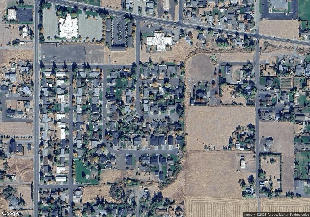
Map
Nearby Homes
- 2008 Scorpio Dr
- 2000 Scorpio Dr
- 4097 Gemini Dr
- 2209 Terra Lee Ct
- 707 Highland Dr
- 313 12th St Unit 4
- 2132 Elevation Ct
- 2129 Elevation Ct
- 1902 Highland Dr
- 1609 Gildcrest Dr
- 2104 True Ave
- 512 20th St
- 62111 Lakeview Ln
- 2108 True Ave
- 1106 F Ave
- 1009 13th St
- 0 Blue Mountain Dr Unit 8 19352869
- 0 Blue Mountain Dr Unit 9 19086277
- 204 3rd St
- 1004 22nd St