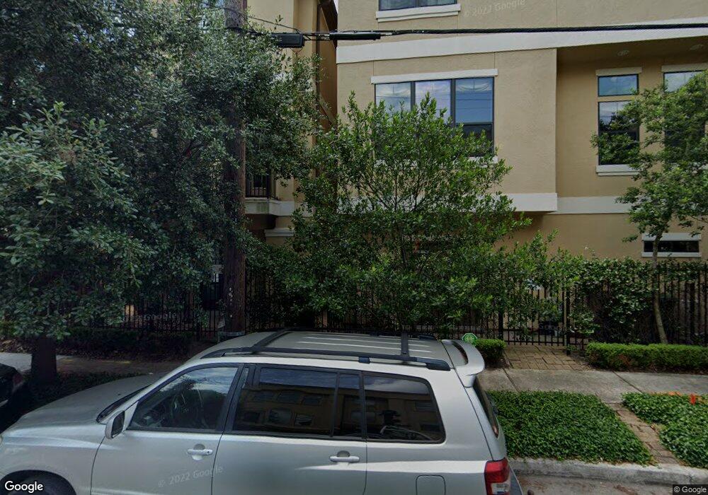
2103 Driscoll St Houston, TX 77019
Montrose NeighborhoodEstimated Value: $540,424 - $657,000
3
Beds
4
Baths
2,227
Sq Ft
$265/Sq Ft
Est. Value
About This Home
This home is located at 2103 Driscoll St, Houston, TX 77019 and is currently estimated at $589,856, approximately $264 per square foot. 2103 Driscoll St is a home located in Harris County with nearby schools including Baker Montessori, Lanier Middle School, and Lamar High School.
Ownership History
Date
Name
Owned For
Owner Type
Purchase Details
Closed on
Oct 23, 2008
Sold by
Lake Forest Construction Llc
Bought by
Hawes Justin
Current Estimated Value
Home Financials for this Owner
Home Financials are based on the most recent Mortgage that was taken out on this home.
Original Mortgage
$408,500
Outstanding Balance
$263,696
Interest Rate
5.83%
Mortgage Type
Purchase Money Mortgage
Estimated Equity
$326,160
Create a Home Valuation Report for This Property
The Home Valuation Report is an in-depth analysis detailing your home's value as well as a comparison with similar homes in the area
Home Values in the Area
Average Home Value in this Area
Purchase History
| Date | Buyer | Sale Price | Title Company |
|---|---|---|---|
| Hawes Justin | -- | American Title Company |
Source: Public Records
Mortgage History
| Date | Status | Borrower | Loan Amount |
|---|---|---|---|
| Open | Hawes Justin | $408,500 |
Source: Public Records
Tax History Compared to Growth
Tax History
| Year | Tax Paid | Tax Assessment Tax Assessment Total Assessment is a certain percentage of the fair market value that is determined by local assessors to be the total taxable value of land and additions on the property. | Land | Improvement |
|---|---|---|---|---|
| 2025 | $7,523 | $494,231 | $174,570 | $319,661 |
| 2024 | $7,523 | $500,435 | $174,570 | $325,865 |
| 2023 | $7,523 | $491,679 | $174,570 | $317,109 |
| 2022 | $9,303 | $422,496 | $174,570 | $247,926 |
| 2021 | $10,349 | $444,057 | $166,635 | $277,422 |
| 2020 | $10,253 | $423,382 | $166,635 | $256,747 |
| 2019 | $11,382 | $449,789 | $113,480 | $336,309 |
| 2018 | $9,253 | $469,650 | $113,480 | $356,170 |
| 2017 | $12,928 | $487,200 | $113,480 | $373,720 |
| 2016 | $13,135 | $495,000 | $113,480 | $381,520 |
| 2015 | $9,743 | $565,421 | $113,480 | $451,941 |
| 2014 | $9,743 | $480,000 | $99,295 | $380,705 |
Source: Public Records
Map
Nearby Homes
- 2026 Morse St
- 2103 Hazard St
- 2003 Morse St
- 2008 Hazard St
- 2011 Woodhead St
- 2309 Driscoll St
- 2112 Mcduffie St
- 1906 Woodhead St
- 1956 Vermont St
- 1822 Morse St Unit A
- 1909 Brun St Unit 17
- 1909 Brun St Unit 16
- 1902 Elmen St
- 1810 Hazard St Unit A
- 2027 Huldy St
- 2113 Huldy St
- 2117 Huldy St
- 2115 Huldy St
- 2119 Huldy St
- 2025 Park St
- 2105 Driscoll St
- 1965 Indiana St
- 2109 Driscoll St
- 1967 Indiana St
- 2104 Morse St
- 2107 Driscoll St
- 2106 Morse St
- 2110 Morse St
- 2102 Morse St
- 1969 Indiana St
- 2113 Driscoll St
- 2114 Morse St
- 2115 Driscoll St
- 1960 Indiana St
- 2106 Driscoll St
- 1962 Indiana St
- 1971 Indiana St
- 2032 Morse St
- 2118 Morse St
- 1964 Indiana St