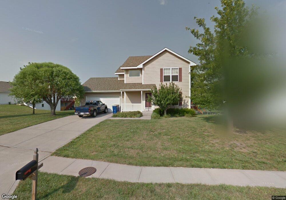
2103 Glenside Rd Kearney, MO 64060
Estimated Value: $273,000 - $306,228
3
Beds
4
Baths
752
Sq Ft
$393/Sq Ft
Est. Value
About This Home
This home is located at 2103 Glenside Rd, Kearney, MO 64060 and is currently estimated at $295,807, approximately $393 per square foot. 2103 Glenside Rd is a home located in Clay County with nearby schools including Kearney Junior High School and Kearney High School.
Ownership History
Date
Name
Owned For
Owner Type
Purchase Details
Closed on
Jan 19, 2009
Sold by
Slattery Stephen J and Slattery Jennifer A
Bought by
Ullrich Thomas W
Current Estimated Value
Home Financials for this Owner
Home Financials are based on the most recent Mortgage that was taken out on this home.
Original Mortgage
$112,000
Outstanding Balance
$71,696
Interest Rate
5.42%
Mortgage Type
Purchase Money Mortgage
Estimated Equity
$224,111
Purchase Details
Closed on
Aug 22, 2006
Sold by
Perry Thomas M and Perry Debra M
Bought by
Slattery Stephen J and Slattery Jennifer A
Purchase Details
Closed on
Aug 11, 2000
Sold by
Aartech Investments Inc
Bought by
Perry Thomas M and Perry Thomas M
Home Financials for this Owner
Home Financials are based on the most recent Mortgage that was taken out on this home.
Original Mortgage
$120,426
Interest Rate
8.15%
Create a Home Valuation Report for This Property
The Home Valuation Report is an in-depth analysis detailing your home's value as well as a comparison with similar homes in the area
Home Values in the Area
Average Home Value in this Area
Purchase History
| Date | Buyer | Sale Price | Title Company |
|---|---|---|---|
| Ullrich Thomas W | -- | Kansas City Title | |
| Slattery Stephen J | -- | Kansas City Title | |
| Perry Thomas M | -- | First American Title Ins Co |
Source: Public Records
Mortgage History
| Date | Status | Borrower | Loan Amount |
|---|---|---|---|
| Open | Ullrich Thomas W | $112,000 | |
| Previous Owner | Perry Thomas M | $120,426 |
Source: Public Records
Tax History
| Year | Tax Paid | Tax Assessment Tax Assessment Total Assessment is a certain percentage of the fair market value that is determined by local assessors to be the total taxable value of land and additions on the property. | Land | Improvement |
|---|---|---|---|---|
| 2025 | $2,582 | $43,210 | -- | -- |
| 2024 | $2,582 | $37,680 | -- | -- |
| 2023 | $2,573 | $37,680 | $0 | $0 |
| 2022 | $2,356 | $33,350 | $0 | $0 |
| 2021 | $2,309 | $33,345 | $5,130 | $28,215 |
| 2020 | $2,216 | $29,110 | $0 | $0 |
| 2019 | $2,204 | $29,110 | $0 | $0 |
Source: Public Records
Map
Nearby Homes
- 307 E 22nd Terrace
- 1933 Meadowlane
- 2371 Prairie Creek Dr
- 2367 Prairie Creek Dr
- 2119 Greenfield Point
- 2123 Greenfield Point
- 2121 Greenfield Point
- 2211 Prairie Creek Dr
- 111 Dogwood Ln
- 107 Dogwood Ln
- 709 Feldspar St
- 1710 Rockwater Ln
- 2001 Foxtail Point
- 1845 Falcon Ct
- 217 Old Trail Run
- 1702 Bay Ct
- 318 Old Trail Run N A
- 2318 Foxtail Dr
- 2314 Foxtail Dr
- 2317 Foxtail Dr
- 2105 Glenside Rd
- 309 E 21st St
- 401 E 21st St
- 2107 Glenside Rd
- 2114 Mission Dr
- 2102 Glenside Rd
- 403 E 21st St
- 307 E 21st St
- 2109 Glenside Rd
- 2113 Mission Dr
- 2108 Glenside Rd
- 2116 Mission Dr
- 402 E 21st St
- 400 E 21st St
- 2111 Glenside Rd
- 2113 Sparrow Cir
- 405 E 21st St
- 2115 Mission Dr
- 404 E 21st St
- 2110 Glenside Rd
Your Personal Tour Guide
Ask me questions while you tour the home.