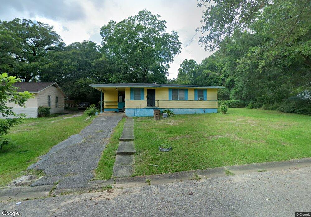
2103 Hamilton Rd Mobile, AL 36618
Autumndale NeighborhoodEstimated Value: $68,398 - $125,000
Studio
1
Bath
1,053
Sq Ft
$94/Sq Ft
Est. Value
About This Home
This home is located at 2103 Hamilton Rd, Mobile, AL 36618 and is currently estimated at $98,850, approximately $93 per square foot. 2103 Hamilton Rd is a home located in Mobile County with nearby schools including Forest Hill Elementary School, CL Scarborough Middle School, and Mattie T Blount High School.
Ownership History
Date
Name
Owned For
Owner Type
Purchase Details
Closed on
Jan 24, 2008
Sold by
Johnson Christina Annette
Bought by
Johnson Christina Annette and Johnson Annie Kate
Current Estimated Value
Home Financials for this Owner
Home Financials are based on the most recent Mortgage that was taken out on this home.
Original Mortgage
$46,500
Outstanding Balance
$28,247
Interest Rate
5.62%
Mortgage Type
Unknown
Estimated Equity
$70,603
Purchase Details
Closed on
Sep 29, 2006
Sold by
Johnson Annie Kate
Bought by
Johnson Christina Annette
Create a Home Valuation Report for This Property
The Home Valuation Report is an in-depth analysis detailing your home's value as well as a comparison with similar homes in the area
Home Values in the Area
Average Home Value in this Area
Purchase History
| Date | Buyer | Sale Price | Title Company |
|---|---|---|---|
| Johnson Christina Annette | $500 | Lsi | |
| Johnson Christina Annette | -- | None Available |
Source: Public Records
Mortgage History
| Date | Status | Borrower | Loan Amount |
|---|---|---|---|
| Open | Johnson Christina Annette | $46,500 |
Source: Public Records
Tax History
| Year | Tax Paid | Tax Assessment Tax Assessment Total Assessment is a certain percentage of the fair market value that is determined by local assessors to be the total taxable value of land and additions on the property. | Land | Improvement |
|---|---|---|---|---|
| 2025 | $219 | $4,330 | $1,000 | $3,330 |
| 2024 | $219 | $4,140 | $1,000 | $3,140 |
| 2023 | $206 | $4,090 | $1,000 | $3,090 |
| 2022 | $182 | $3,920 | $1,000 | $2,920 |
| 2021 | $165 | $3,610 | $800 | $2,810 |
| 2020 | $154 | $3,410 | $600 | $2,810 |
| 2019 | $145 | $3,260 | $600 | $2,660 |
| 2018 | $145 | $3,260 | $0 | $0 |
| 2017 | $136 | $3,100 | $0 | $0 |
| 2016 | $223 | $4,560 | $0 | $0 |
| 2013 | $278 | $4,780 | $0 | $0 |
Source: Public Records
Map
Nearby Homes
- 1930 Le Jeune Dr
- 2004 Beau Terra Dr W
- 2205 Beau Terra Dr W
- 4060 Dickson Ln
- 1758 La Pine Dr
- 1757 Le Grande Dr
- 2210 Wolf Ridge Rd
- 0 Junius Ln
- 4409 Eastview Dr
- 1561 Phillips Ln
- 1701 Phillips Ln
- 1553 Phillips Ln
- 6632 Monarch Cir
- 4636 Saint Charles Ct
- 3531 Anton St
- 6 Brucewood Dr W
- 4900 Leruth Rd
- 3514 Anton St
- 1724 Sandalwood Dr
- 1121 Stevens Ln
- 2101 Hamilton Rd
- 2105 Hamilton Rd
- 2104 Wolf Ridge Rd
- 2100 Wolf Ridge Rd
- 2108 Wolf Ridge Rd
- 2009 Hamilton Rd
- 2102 Hamilton Rd
- 2107 Hamilton Rd
- 2008 Wolf Ridge Rd
- 2104 Hamilton Rd
- 2112 Wolf Ridge Rd
- 2005 Hamilton Rd
- 2111 Hamilton Rd
- 2108 Hamilton Rd
- 2004 Wolf Ridge Rd
- 2004 Hamilton Rd
- 2116 Wolf Ridge Rd
- 2101 Baker Rd
- 2109 Baker Rd
- 2115 Hamilton Rd
Your Personal Tour Guide
Ask me questions while you tour the home.