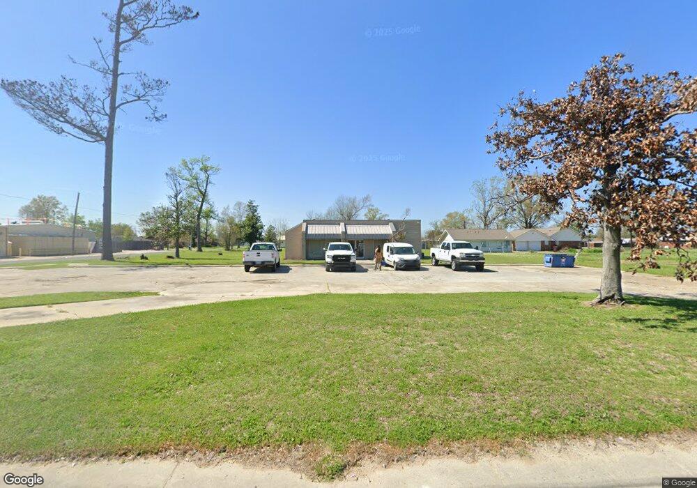
2103 Sampson St Westlake, LA 70669
--
Bed
--
Bath
2,255
Sq Ft
28
Acres
About This Home
This home is located at 2103 Sampson St, Westlake, LA 70669. 2103 Sampson St is a home located in Calcasieu Parish with nearby schools including Westwood Elementary School, Western Heights Elementary School, and S.P. Arnett Middle School.
Ownership History
Date
Name
Owned For
Owner Type
Purchase Details
Closed on
Apr 18, 2013
Sold by
Gcal Holdings Llc
Bought by
Wasp Holdings Llc
Home Financials for this Owner
Home Financials are based on the most recent Mortgage that was taken out on this home.
Original Mortgage
$1,700,000
Outstanding Balance
$1,205,928
Interest Rate
3.58%
Mortgage Type
Future Advance Clause Open End Mortgage
Purchase Details
Closed on
Jun 9, 2011
Sold by
Gcal Holdings Llc
Bought by
Hoff Charlotte A
Create a Home Valuation Report for This Property
The Home Valuation Report is an in-depth analysis detailing your home's value as well as a comparison with similar homes in the area
Home Values in the Area
Average Home Value in this Area
Purchase History
| Date | Buyer | Sale Price | Title Company |
|---|---|---|---|
| Wasp Holdings Llc | $1,775,000 | First American Title Ins Co | |
| Hoff Charlotte A | -- | None Available |
Source: Public Records
Mortgage History
| Date | Status | Borrower | Loan Amount |
|---|---|---|---|
| Open | Wasp Holdings Llc | $1,700,000 |
Source: Public Records
Tax History Compared to Growth
Tax History
| Year | Tax Paid | Tax Assessment Tax Assessment Total Assessment is a certain percentage of the fair market value that is determined by local assessors to be the total taxable value of land and additions on the property. | Land | Improvement |
|---|---|---|---|---|
| 2024 | $3,239 | $26,810 | $12,500 | $14,310 |
| 2023 | $3,239 | $26,810 | $12,500 | $14,310 |
| 2022 | $3,307 | $26,810 | $12,500 | $14,310 |
| 2021 | $2,584 | $26,810 | $12,500 | $14,310 |
| 2020 | $2,833 | $23,450 | $12,000 | $11,450 |
| 2019 | $2,985 | $23,510 | $9,200 | $14,310 |
| 2018 | $2,785 | $23,510 | $9,200 | $14,310 |
| 2017 | $2,899 | $23,510 | $9,200 | $14,310 |
| 2016 | $2,471 | $23,510 | $9,200 | $14,310 |
| 2015 | $2,471 | $23,510 | $9,200 | $14,310 |
Source: Public Records
Map
Nearby Homes
- 0 Bee Tree St Unit SWL25000986
- 2210 Mccloud St
- 2215 Pitre St
- 822 Shady Ln
- 920 Shady Ln
- 1705 N Hilma St
- 1444 Beech St
- 1430 Beech St
- 2425 Duraso Dr
- 2429 Duraso Dr
- 1424 Rue Des Chene
- 1036 1/2 Ann St
- 1601 Sampson St
- 1310 Sampson St
- 2034 Gus St
- 618 John Stine Rd
- 0 John Stine Rd Unit SWL25000871
- 1313 Greenroad St
- 1301 Matilda St
- 414 E Krause St
- 907 Live Oak St
- 911 Live Oak St
- 907 Bee Tree St
- 910 Bee Tree St
- 909 Bee Tree St
- 2203 Sampson St
- 2106 Sampson St
- 911 Bee Tree St
- 917 Live Oak St
- 2004 Sampson St
- 914 Bee Tree St
- 822 Bee Tree St
- 919 Live Oak St
- 917 Bee Tree St
- 2202 Pitre St
- 916 Bee Tree St
- 837 Live Oak St
- 908 Shady Ln
- 2207 Westwood Rd
- 2207 Sampson St