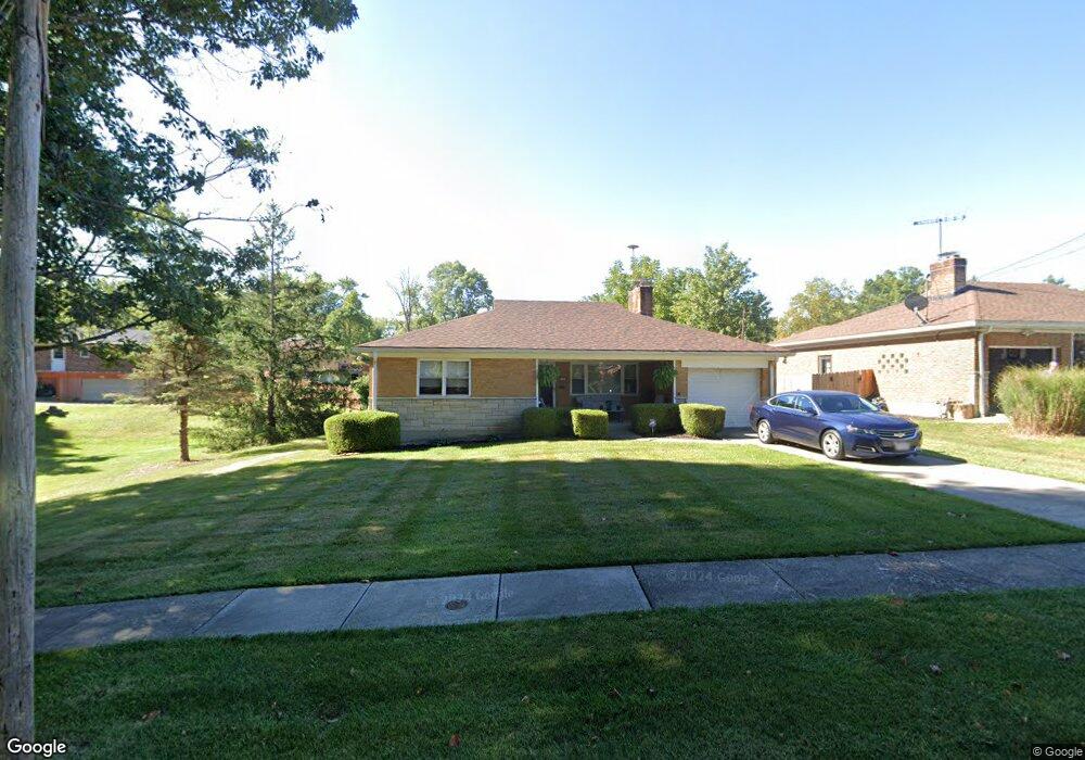
2103 Simbury Ct Cincinnati, OH 45224
College Hill NeighborhoodEstimated Value: $225,000 - $271,000
3
Beds
1
Bath
1,312
Sq Ft
$187/Sq Ft
Est. Value
About This Home
This home is located at 2103 Simbury Ct, Cincinnati, OH 45224 and is currently estimated at $245,989, approximately $187 per square foot. 2103 Simbury Ct is a home located in Hamilton County with nearby schools including Mt. Airy Elementary School, Western Hills High School, and Gilbert A. Dater High School.
Ownership History
Date
Name
Owned For
Owner Type
Purchase Details
Closed on
Dec 9, 2021
Sold by
Morgan Terry D and Morgan Bernice A
Bought by
Morgan Bernice A
Current Estimated Value
Purchase Details
Closed on
Feb 23, 2001
Sold by
Folz Patrick J and Folz Mary R
Bought by
Peek Anthony and Peek Darlene
Home Financials for this Owner
Home Financials are based on the most recent Mortgage that was taken out on this home.
Original Mortgage
$128,420
Outstanding Balance
$46,901
Interest Rate
7.06%
Mortgage Type
FHA
Estimated Equity
$199,088
Create a Home Valuation Report for This Property
The Home Valuation Report is an in-depth analysis detailing your home's value as well as a comparison with similar homes in the area
Home Values in the Area
Average Home Value in this Area
Purchase History
| Date | Buyer | Sale Price | Title Company |
|---|---|---|---|
| Morgan Bernice A | -- | None Available | |
| Peek Anthony | $129,800 | -- |
Source: Public Records
Mortgage History
| Date | Status | Borrower | Loan Amount |
|---|---|---|---|
| Open | Peek Anthony | $128,420 |
Source: Public Records
Tax History Compared to Growth
Tax History
| Year | Tax Paid | Tax Assessment Tax Assessment Total Assessment is a certain percentage of the fair market value that is determined by local assessors to be the total taxable value of land and additions on the property. | Land | Improvement |
|---|---|---|---|---|
| 2024 | $3,512 | $58,577 | $12,359 | $46,218 |
| 2023 | $3,591 | $58,577 | $12,359 | $46,218 |
| 2022 | $2,607 | $38,067 | $10,063 | $28,004 |
| 2021 | $2,504 | $38,067 | $10,063 | $28,004 |
| 2020 | $2,578 | $38,067 | $10,063 | $28,004 |
| 2019 | $2,473 | $33,390 | $8,827 | $24,563 |
| 2018 | $2,476 | $33,390 | $8,827 | $24,563 |
| 2017 | $2,352 | $33,390 | $8,827 | $24,563 |
| 2016 | $2,379 | $33,307 | $9,419 | $23,888 |
| 2015 | $2,146 | $33,307 | $9,419 | $23,888 |
| 2014 | $2,161 | $33,307 | $9,419 | $23,888 |
| 2013 | $2,266 | $34,335 | $9,709 | $24,626 |
Source: Public Records
Map
Nearby Homes
- 5971 Monticello Ave
- 2235 W North Bend Rd
- 2142 W North Bend Rd
- 2146 W North Bend Rd
- 5937 Oakwood Ave
- 2310 van Leunen Dr
- 1963 W North Bend Rd
- 6039 Oakwood Ave
- 2045 1st Ave
- 2413 Buddleia Ct
- 1831 W North Bend Rd
- 5855 Lathrop Place
- 5459 Kirby Ave
- 5917 Cary Ave
- 5911 Cary Ave
- 2125 Mckinley Ave
- 5723 Nahant Ave
- 6292 Simpson Ave
- 5908 Cary Ave
- 5699 Belmont Ave
- 2109 Simbury Ct
- 5938 Bellmeadows Dr
- 2040 Parkhurst Ct
- 5932 Bellmeadows Dr
- 2039 Parkhurst Ct
- 2102 Simbury Ct
- 5939 Bellmeadows Dr
- 5945 Bellmeadows Dr
- 5926 Bellmeadows Dr
- 2110 Simbury Ct
- 2034 Parkhurst Ct
- 5933 Bellmeadows Dr
- 2035 Parkhurst Ct
- 2118 Simbury Ct
- 5927 Bellmeadows Dr
- 5920 Bellmeadows Dr
- 2031 Parkhurst Ct
- 5948 Monticello Ave
- 5940 Monticello Ave
- 5921 Bellmeadows Dr