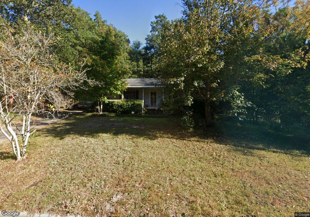
2103 Vireo Dr North Augusta, SC 29841
Estimated Value: $195,568 - $260,000
2
Beds
2
Baths
1,400
Sq Ft
$155/Sq Ft
Est. Value
About This Home
This home is located at 2103 Vireo Dr, North Augusta, SC 29841 and is currently estimated at $216,892, approximately $154 per square foot. 2103 Vireo Dr is a home located in Aiken County with nearby schools including Hammond Hill Elementary School, Paul Knox Middle School, and North Augusta High School.
Ownership History
Date
Name
Owned For
Owner Type
Purchase Details
Closed on
Sep 19, 2008
Sold by
Bewley James T
Bought by
Cummings Aaron R
Current Estimated Value
Home Financials for this Owner
Home Financials are based on the most recent Mortgage that was taken out on this home.
Original Mortgage
$117,472
Outstanding Balance
$77,231
Interest Rate
6.45%
Mortgage Type
VA
Estimated Equity
$139,661
Purchase Details
Closed on
Aug 2, 2007
Sold by
Quarles Rebecca M and Quarles Steven T
Bought by
Bewley James T
Purchase Details
Closed on
Feb 15, 2006
Sold by
Quarles Rebecca M
Bought by
Quarles Rebecca M and Quarles Steven T
Home Financials for this Owner
Home Financials are based on the most recent Mortgage that was taken out on this home.
Original Mortgage
$78,300
Interest Rate
6.14%
Mortgage Type
New Conventional
Create a Home Valuation Report for This Property
The Home Valuation Report is an in-depth analysis detailing your home's value as well as a comparison with similar homes in the area
Purchase History
| Date | Buyer | Sale Price | Title Company |
|---|---|---|---|
| Cummings Aaron R | $115,000 | -- | |
| Bewley James T | $107,000 | None Available | |
| Quarles Rebecca M | -- | None Available |
Source: Public Records
Mortgage History
| Date | Status | Borrower | Loan Amount |
|---|---|---|---|
| Open | Cummings Aaron R | $117,472 | |
| Previous Owner | Quarles Rebecca M | $78,300 |
Source: Public Records
Tax History
| Year | Tax Paid | Tax Assessment Tax Assessment Total Assessment is a certain percentage of the fair market value that is determined by local assessors to be the total taxable value of land and additions on the property. | Land | Improvement |
|---|---|---|---|---|
| 2025 | $578 | $5,770 | -- | -- |
| 2023 | $579 | $5,770 | $927 | $125,370 |
| 2022 | $563 | $5,970 | $0 | $0 |
| 2021 | $564 | $5,970 | $0 | $0 |
| 2020 | $498 | $5,020 | $0 | $0 |
| 2019 | $498 | $5,020 | $0 | $0 |
| 2018 | $499 | $5,020 | $600 | $4,420 |
| 2017 | $474 | $0 | $0 | $0 |
| 2016 | $474 | $0 | $0 | $0 |
| 2015 | $492 | $0 | $0 | $0 |
| 2014 | $458 | $0 | $0 | $0 |
| 2013 | -- | $0 | $0 | $0 |
Source: Public Records
Map
Nearby Homes
- 2202 Vireo Dr
- 655 Bobbye Dr Unit Fb67
- 2009 Wren Rd
- 817 Bobbye Dr Unit Fb77
- 1121 Bobbye Dr Unit 12b
- 1105 Bobbye Dr Unit 12a
- 1087 Bobbye Dr Unit 13b
- 379 Bobbye Dr Unit Fb94
- 1941 Bunting Dr
- 1071 Bobbye Dr Unit 13a
- 311 Bobbye Dr Unit Fb45
- 267 Bobbye Dr Unit Fb43
- 289 Bobbye Dr Unit Fb44
- 2006 Bunting Dr
- 201 Bobbye Dr Unit Fb40
- 5153 Anna Creek Way Unit Fb33
- 5145 Anna Creek Way Unit Fb32
- 173 Bobbye Dr Unit Fb39
- 5250 Anna Creek Way Unit Fb95
- 5236 Anna Creek Way Unit Fb96
Your Personal Tour Guide
Ask me questions while you tour the home.