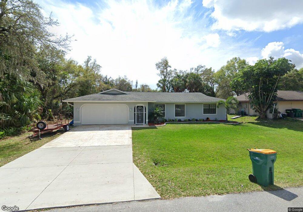
21033 Evanston Ave Port Charlotte, FL 33952
Estimated Value: $260,000 - $307,000
3
Beds
2
Baths
1,438
Sq Ft
$198/Sq Ft
Est. Value
About This Home
This home is located at 21033 Evanston Ave, Port Charlotte, FL 33952 and is currently estimated at $285,029, approximately $198 per square foot. 21033 Evanston Ave is a home located in Charlotte County with nearby schools including Neil Armstrong Elementary School, Murdock Middle School, and Port Charlotte High School.
Ownership History
Date
Name
Owned For
Owner Type
Purchase Details
Closed on
May 5, 2015
Sold by
Coleman Frances Y and Batties Mark D
Bought by
Adorno Javier Alamo
Current Estimated Value
Home Financials for this Owner
Home Financials are based on the most recent Mortgage that was taken out on this home.
Original Mortgage
$98,000
Outstanding Balance
$75,796
Interest Rate
3.79%
Mortgage Type
New Conventional
Estimated Equity
$209,233
Purchase Details
Closed on
May 24, 2006
Sold by
Herron Lucy E
Bought by
Herron Lucy E and Herron Family Trust
Create a Home Valuation Report for This Property
The Home Valuation Report is an in-depth analysis detailing your home's value as well as a comparison with similar homes in the area
Home Values in the Area
Average Home Value in this Area
Purchase History
| Date | Buyer | Sale Price | Title Company |
|---|---|---|---|
| Adorno Javier Alamo | $111,000 | Attorney | |
| Herron Lucy E | -- | Attorney |
Source: Public Records
Mortgage History
| Date | Status | Borrower | Loan Amount |
|---|---|---|---|
| Open | Adorno Javier Alamo | $98,000 |
Source: Public Records
Tax History Compared to Growth
Tax History
| Year | Tax Paid | Tax Assessment Tax Assessment Total Assessment is a certain percentage of the fair market value that is determined by local assessors to be the total taxable value of land and additions on the property. | Land | Improvement |
|---|---|---|---|---|
| 2023 | $2,538 | $154,522 | $0 | $0 |
| 2022 | $2,797 | $172,599 | $0 | $0 |
| 2021 | $2,790 | $167,572 | $0 | $0 |
| 2020 | $2,736 | $165,258 | $0 | $0 |
| 2019 | $2,639 | $161,543 | $0 | $0 |
| 2018 | $2,433 | $158,531 | $0 | $0 |
| 2017 | $2,409 | $155,270 | $4,216 | $151,054 |
| 2016 | $3,126 | $156,231 | $0 | $0 |
| 2015 | $2,626 | $125,500 | $0 | $0 |
| 2014 | $1,521 | $100,678 | $0 | $0 |
Source: Public Records
Map
Nearby Homes
- 1205 Yorkshire St
- 1196 Hinton St
- 20430 Sapling Ave
- 1058 Congress St
- 21161 Knollwood Ave
- 20431 Stardust Ave
- 1053 Yarmouth St
- 1181 Oxsalida St
- 21192 Quesada Ave
- 1170 Peppertree Ln
- 21059 Cascade Ave
- 1160 Peppertree Ln
- 21051 Cascade Ave
- 284 Hinton St
- 20407 Laverne Ave
- 1402 Viscaya Dr
- 1321 Newton St
- 21048 Peachland Blvd
- 1358 Fargo St
- 20370 Mount Prospect Ave
- 21041 Evanston Ave
- 21025 Evanston Ave
- 21008 Evanston Ave Unit 2600498-2805
- 21080 Evanston Ave
- 21008 Evanston Ave
- 21032 Alpine Ave
- 21024 Alpine Ave
- 21017 Evanston Ave
- 21032 Evanston Ave
- 21040 Evanston Ave
- 21016 Alpine Ave
- 21009 Evanston Ave
- 21048 Evanston Ave
- 21057 Evanston Ave
- 21008 Alpine Ave
- 21033 Denise Ave
- 21029 Alpine Ave
- 21037 Alpine Ave