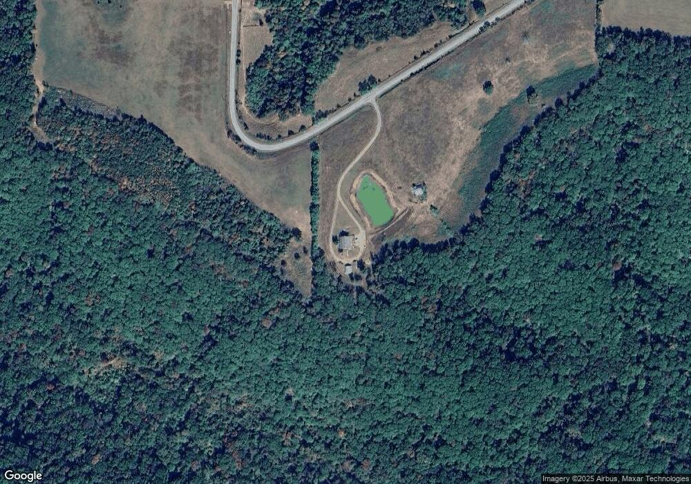
21033 Sunset Rd Winslow, AR 72959
Estimated Value: $304,000
--
Bed
2
Baths
3,800
Sq Ft
$80/Sq Ft
Est. Value
About This Home
This home is located at 21033 Sunset Rd, Winslow, AR 72959 and is currently estimated at $304,000, approximately $80 per square foot. 21033 Sunset Rd is a home located in Washington County with nearby schools including West Fork Elementary School, West Fork Middle School, and West Fork High School.
Ownership History
Date
Name
Owned For
Owner Type
Purchase Details
Closed on
Dec 8, 2021
Sold by
Harvey Robert W and Harvey Raquel R
Bought by
Harvey Robert W and Harvey Raquel R
Current Estimated Value
Home Financials for this Owner
Home Financials are based on the most recent Mortgage that was taken out on this home.
Original Mortgage
$192,150
Outstanding Balance
$149,336
Interest Rate
2.37%
Mortgage Type
New Conventional
Estimated Equity
$154,664
Purchase Details
Closed on
May 13, 1994
Bought by
Harvey Robert W and Harvey Alicia K
Purchase Details
Closed on
Jul 9, 1986
Bought by
First Nat'L Bank Of Crawford Co
Purchase Details
Closed on
Apr 3, 1986
Bought by
River Edge Construction Co
Purchase Details
Closed on
Jan 1, 1985
Bought by
Mooney Willie D and Mooney Beverly A
Create a Home Valuation Report for This Property
The Home Valuation Report is an in-depth analysis detailing your home's value as well as a comparison with similar homes in the area
Home Values in the Area
Average Home Value in this Area
Purchase History
| Date | Buyer | Sale Price | Title Company |
|---|---|---|---|
| Harvey Robert W | -- | Mortgage Connect Lp | |
| Harvey Robert W | $102,000 | -- | |
| First Nat'L Bank Of Crawford Co | -- | -- | |
| River Edge Construction Co | -- | -- | |
| Mooney Willie D | -- | -- |
Source: Public Records
Mortgage History
| Date | Status | Borrower | Loan Amount |
|---|---|---|---|
| Open | Harvey Robert W | $192,150 |
Source: Public Records
Tax History Compared to Growth
Tax History
| Year | Tax Paid | Tax Assessment Tax Assessment Total Assessment is a certain percentage of the fair market value that is determined by local assessors to be the total taxable value of land and additions on the property. | Land | Improvement |
|---|---|---|---|---|
| 2025 | $33 | $680 | $680 | $0 |
| 2024 | $33 | $680 | $680 | $0 |
| 2023 | $33 | $680 | $680 | $0 |
| 2022 | $32 | $670 | $670 | $0 |
| 2021 | $1,463 | $45,380 | $3,170 | $42,210 |
| 2020 | $1,387 | $45,380 | $3,170 | $42,210 |
| 2019 | $1,308 | $34,920 | $2,710 | $32,210 |
| 2018 | $1,312 | $34,920 | $2,710 | $32,210 |
| 2017 | $1,276 | $34,920 | $2,710 | $32,210 |
| 2016 | $1,258 | $34,920 | $2,710 | $32,210 |
| 2015 | $1,182 | $34,920 | $2,710 | $32,210 |
| 2014 | $1,105 | $31,160 | $2,070 | $29,090 |
Source: Public Records
Map
Nearby Homes
- 16325 Sunset Wc 38
- 22908 Bidville Rd
- 17295 Olive Rd
- 0 Hwy 295 Hwy Unit 1292844
- 0 Madison 4099 Unit 1322233
- 17140 Skelton Rd (Wc 4146)
- 1732 Madison 4316
- 718-721 Madison 5548
- TBD Madison 4476 Rd
- TBD Madison 5116
- Tract C Madison Cr 5450
- 500 Madison 5550
- Tract D Madison Cr 5450
- Tract A Madison Cr 5450
- 16075 Chocolate Flats
- 924 Madison 5450
- 5224 Highway 295
- 0000 Madison 5114
- 846
- 2325 W Fly Gap Rd