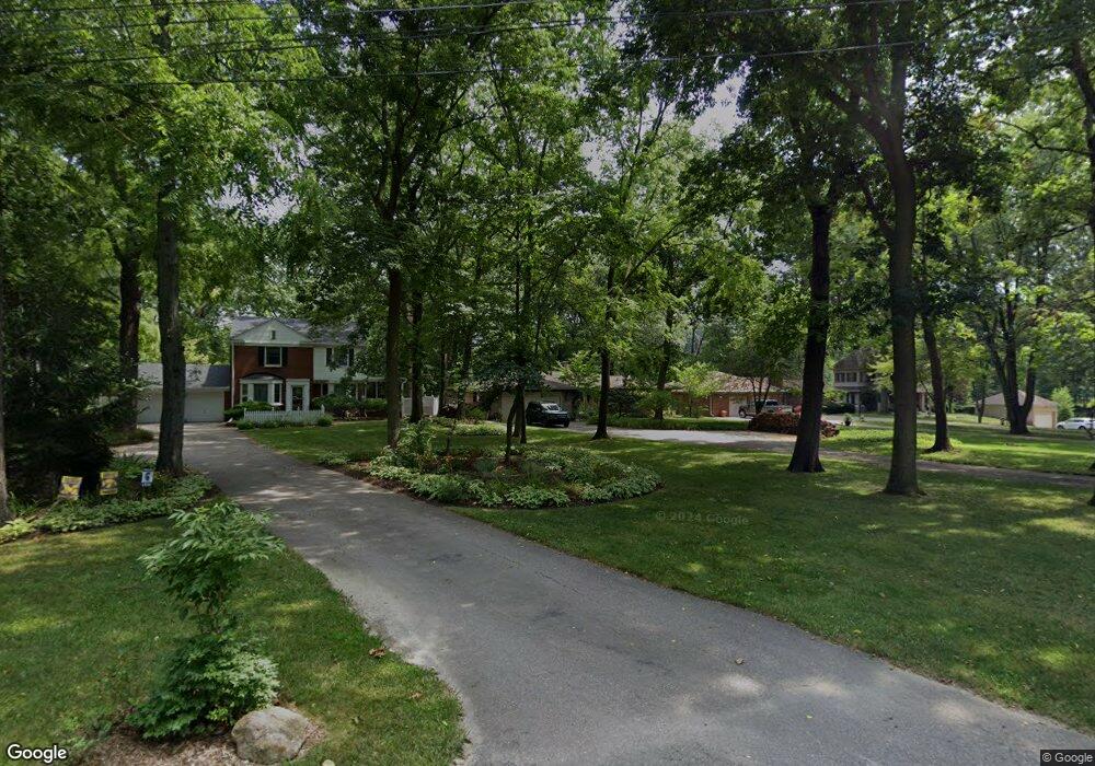
21033 Thorofare Rd Grosse Ile, MI 48138
Estimated Value: $455,720 - $517,000
3
Beds
3
Baths
2,100
Sq Ft
$232/Sq Ft
Est. Value
About This Home
This home is located at 21033 Thorofare Rd, Grosse Ile, MI 48138 and is currently estimated at $486,430, approximately $231 per square foot. 21033 Thorofare Rd is a home located in Wayne County with nearby schools including St. Cyprian Elementary School.
Ownership History
Date
Name
Owned For
Owner Type
Purchase Details
Closed on
Apr 4, 2007
Sold by
Citigroup Global Markets Realty Corp
Bought by
Liquidation Properties Inc
Current Estimated Value
Purchase Details
Closed on
Mar 28, 2007
Sold by
Russell Donald S and Russell Ann Marie G
Bought by
Citigroup Global Markets Realty Corp
Create a Home Valuation Report for This Property
The Home Valuation Report is an in-depth analysis detailing your home's value as well as a comparison with similar homes in the area
Home Values in the Area
Average Home Value in this Area
Purchase History
| Date | Buyer | Sale Price | Title Company |
|---|---|---|---|
| Liquidation Properties Inc | -- | None Available | |
| Citigroup Global Markets Realty Corp | $279,000 | None Available |
Source: Public Records
Tax History Compared to Growth
Tax History
| Year | Tax Paid | Tax Assessment Tax Assessment Total Assessment is a certain percentage of the fair market value that is determined by local assessors to be the total taxable value of land and additions on the property. | Land | Improvement |
|---|---|---|---|---|
| 2025 | $2,679 | $236,200 | $0 | $0 |
| 2024 | $2,679 | $229,600 | $0 | $0 |
| 2023 | $3,064 | $212,100 | $0 | $0 |
| 2022 | $7,131 | $196,300 | $0 | $0 |
| 2021 | $6,822 | $193,000 | $0 | $0 |
| 2019 | $6,766 | $179,300 | $0 | $0 |
| 2018 | $2,909 | $174,900 | $0 | $0 |
| 2017 | $7,513 | $168,500 | $0 | $0 |
| 2016 | $6,649 | $158,600 | $0 | $0 |
| 2015 | $14,159 | $155,900 | $0 | $0 |
| 2013 | $13,716 | $155,800 | $0 | $0 |
| 2012 | $3,178 | $146,800 | $49,200 | $97,600 |
Source: Public Records
Map
Nearby Homes
- 21071 Thorofare Rd
- 21321 Knudsen Dr
- 21644 Knudsen Dr
- 21438 Meridian Rd
- 9447 Whitall Ln
- 21819 Meridian Rd
- 0 West River Unit 20250008619
- 21599 Parke Ln
- 22133 Meridian Rd
- 22015 Ember Ct
- 21604 E River Rd
- 8614 Island Blvd
- 9281 Island Dr
- 8232 Island Blvd
- 7806 Island Blvd
- 22220 E River Rd
- 22271 W River Rd
- 8415 Bridge Rd
- 9000 Ferry Rd
- 1935 Church Place
- 21005 Thorofare Rd
- 21061 Thorofare Rd
- 20985 Thorofare Rd
- 20965 Thorofare Rd
- 20939 Thorofare Rd
- 20990 Thorofare Rd
- 21115 Thorofare Rd
- 20964 Thorofare Rd
- 20940 Thorofare Rd
- 21260 Knudsen Dr
- 21238 Knudsen Dr
- 9088 Highland Dr
- 21220 Knudsen Dr
- 21060 Thorofare Rd
- 20885 Thorofare Rd
- 21204 Knudsen Dr
- 21278 Knudsen Dr
- 21125 Thorofare Rd
- 21084 Thorofare Rd
- 21296 Knudsen Dr