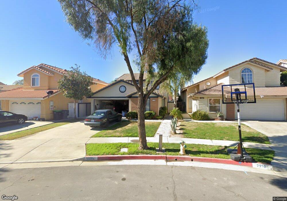
2104 Foxtail Ct Perris, CA 92571
Central Perris NeighborhoodEstimated Value: $464,685 - $502,000
3
Beds
3
Baths
1,391
Sq Ft
$346/Sq Ft
Est. Value
About This Home
This home is located at 2104 Foxtail Ct, Perris, CA 92571 and is currently estimated at $480,921, approximately $345 per square foot. 2104 Foxtail Ct is a home located in Riverside County with nearby schools including Triple Crown Elementary School, Lakeside Middle School, and Rancho Verde High School.
Ownership History
Date
Name
Owned For
Owner Type
Purchase Details
Closed on
Dec 16, 1996
Sold by
American Svgs Bank Fa
Bought by
Romo Esaul and Romo Ana Maria
Current Estimated Value
Home Financials for this Owner
Home Financials are based on the most recent Mortgage that was taken out on this home.
Original Mortgage
$79,859
Outstanding Balance
$8,096
Interest Rate
7.67%
Mortgage Type
FHA
Estimated Equity
$472,825
Purchase Details
Closed on
Aug 14, 1996
Sold by
Nasser W Omar
Bought by
American Svgs Bank Fa
Purchase Details
Closed on
Jan 14, 1994
Sold by
Lewis Homes Of California
Bought by
Nasser W Omar
Home Financials for this Owner
Home Financials are based on the most recent Mortgage that was taken out on this home.
Original Mortgage
$82,493
Interest Rate
5.25%
Create a Home Valuation Report for This Property
The Home Valuation Report is an in-depth analysis detailing your home's value as well as a comparison with similar homes in the area
Home Values in the Area
Average Home Value in this Area
Purchase History
| Date | Buyer | Sale Price | Title Company |
|---|---|---|---|
| Romo Esaul | $79,500 | Investors Title Company | |
| American Svgs Bank Fa | $64,000 | Orange Coast Title | |
| Nasser W Omar | $110,000 | -- |
Source: Public Records
Mortgage History
| Date | Status | Borrower | Loan Amount |
|---|---|---|---|
| Open | Romo Esaul | $79,859 | |
| Previous Owner | Nasser W Omar | $82,493 |
Source: Public Records
Tax History
| Year | Tax Paid | Tax Assessment Tax Assessment Total Assessment is a certain percentage of the fair market value that is determined by local assessors to be the total taxable value of land and additions on the property. | Land | Improvement |
|---|---|---|---|---|
| 2025 | $1,992 | $162,828 | $48,839 | $113,989 |
| 2023 | $1,992 | $156,507 | $46,944 | $109,563 |
| 2022 | $1,936 | $153,439 | $46,024 | $107,415 |
| 2021 | $1,923 | $150,431 | $45,122 | $105,309 |
| 2020 | $1,905 | $148,890 | $44,660 | $104,230 |
| 2019 | $1,800 | $145,972 | $43,785 | $102,187 |
| 2018 | $1,776 | $143,111 | $42,928 | $100,183 |
| 2017 | $1,738 | $140,306 | $42,087 | $98,219 |
| 2016 | $1,719 | $137,556 | $41,262 | $96,294 |
| 2015 | $1,695 | $135,493 | $40,644 | $94,849 |
| 2014 | $1,676 | $132,841 | $39,849 | $92,992 |
Source: Public Records
Map
Nearby Homes
- 560 Coudures Way
- 377 Aurora Dr
- 575 Prairie Way
- 1942 Sandcastle Dr
- 723 Anthirium Ave
- 705 Fuchsia Ln
- 2248 Ridge Ct
- 763 Anthirium Ave
- 2269 Firebrand Ave
- 1947 Neptune Dr
- 544 Turquoise Dr
- 2036 Cherrytree Dr
- 2143 Willowbrook Ln
- 716 Periwinkle Ln
- 2293 Murrieta Rd
- 2063 Willowbrook Ln
- 166 Ambrosia Ct
- 129 Olivetree Dr
- 2536 Slew of Gold Ct
- 1829 Springtree Dr
- 2094 Foxtail Ct
- 2110 Foxtail Ct
- 2088 Foxtail Ct
- 2116 Foxtail Ct
- 2103 Star Thistle Ln
- 2097 Star Thistle Ln
- 2082 Foxtail Ct
- 2115 Star Thistle Ln
- 2091 Star Thistle Ln
- 483 Dusty Ln
- 489 Dusty Ln
- 477 Dusty Ln
- 2085 Star Thistle Ln
- 495 Dusty Ln
- 471 Dusty Ln
- 490 Granite View Dr
- 496 Granite View Dr
- 505 Dusty Ln
- 465 Dusty Ln
- 2095 Foxtail Ct
Your Personal Tour Guide
Ask me questions while you tour the home.