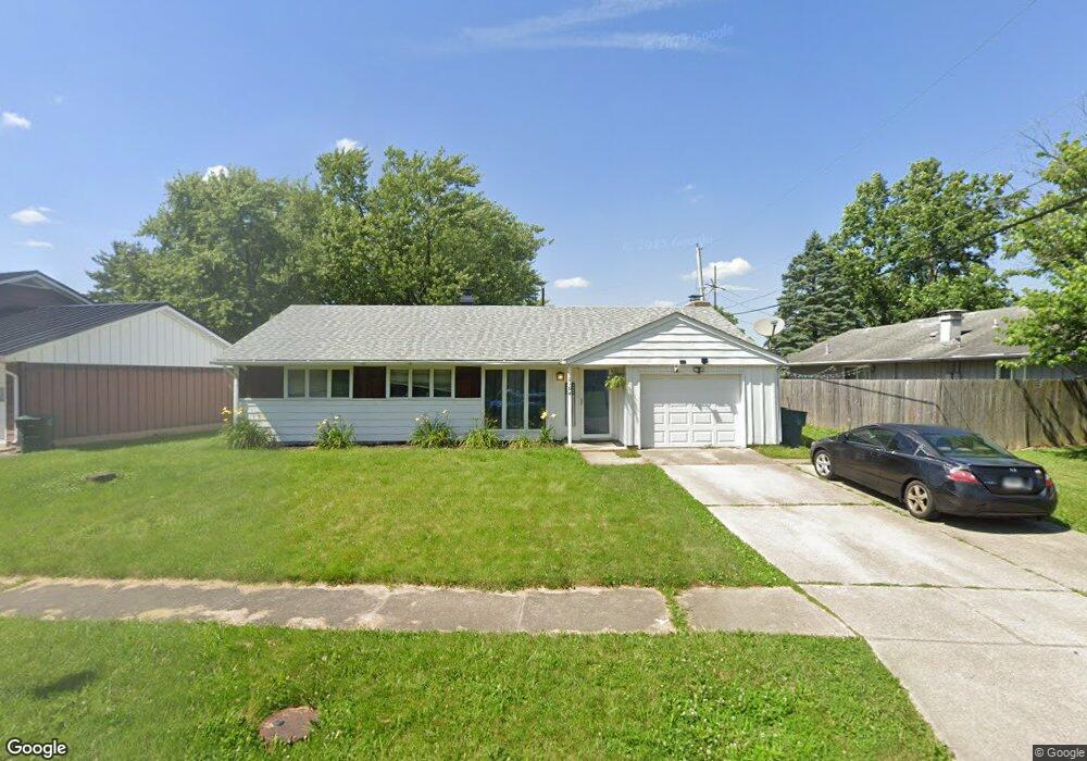
2104 W Concord Rd Muncie, IN 47304
Anthony-Northside NeighborhoodEstimated Value: $112,000 - $170,000
3
Beds
2
Baths
1,440
Sq Ft
$97/Sq Ft
Est. Value
About This Home
This home is located at 2104 W Concord Rd, Muncie, IN 47304 and is currently estimated at $139,389, approximately $96 per square foot. 2104 W Concord Rd is a home located in Delaware County with nearby schools including West View Elementary School, Muncie Central High School, and Northside Middle School.
Ownership History
Date
Name
Owned For
Owner Type
Purchase Details
Closed on
Oct 28, 2021
Sold by
Sparks Jeremy A
Bought by
Johnson Todd L
Current Estimated Value
Home Financials for this Owner
Home Financials are based on the most recent Mortgage that was taken out on this home.
Original Mortgage
$73,641
Outstanding Balance
$67,498
Interest Rate
3.01%
Mortgage Type
FHA
Estimated Equity
$71,891
Purchase Details
Closed on
Jan 31, 2005
Sold by
Voss Melissa M
Bought by
Treadway E Scott and Shelton David A
Home Financials for this Owner
Home Financials are based on the most recent Mortgage that was taken out on this home.
Original Mortgage
$71,100
Interest Rate
5.77%
Mortgage Type
New Conventional
Create a Home Valuation Report for This Property
The Home Valuation Report is an in-depth analysis detailing your home's value as well as a comparison with similar homes in the area
Home Values in the Area
Average Home Value in this Area
Purchase History
| Date | Buyer | Sale Price | Title Company |
|---|---|---|---|
| Johnson Todd L | $75,000 | None Available | |
| Treadway E Scott | -- | None Available |
Source: Public Records
Mortgage History
| Date | Status | Borrower | Loan Amount |
|---|---|---|---|
| Open | Johnson Todd L | $73,641 | |
| Previous Owner | Treadway E Scott | $71,100 |
Source: Public Records
Tax History Compared to Growth
Tax History
| Year | Tax Paid | Tax Assessment Tax Assessment Total Assessment is a certain percentage of the fair market value that is determined by local assessors to be the total taxable value of land and additions on the property. | Land | Improvement |
|---|---|---|---|---|
| 2024 | $993 | $87,500 | $13,500 | $74,000 |
| 2023 | $995 | $87,500 | $13,500 | $74,000 |
| 2022 | $928 | $80,800 | $13,500 | $67,300 |
| 2021 | $953 | $83,300 | $13,200 | $70,100 |
| 2020 | $831 | $71,100 | $12,600 | $58,500 |
| 2019 | $772 | $65,200 | $12,000 | $53,200 |
| 2018 | $734 | $64,100 | $12,000 | $52,100 |
| 2017 | $680 | $59,900 | $10,700 | $49,200 |
| 2016 | $699 | $59,900 | $10,700 | $49,200 |
| 2014 | $594 | $59,900 | $10,700 | $49,200 |
| 2013 | -- | $60,300 | $10,700 | $49,600 |
Source: Public Records
Map
Nearby Homes
- 2701 N Oakwood Ave
- 2009 W Sherman Dr
- 2011 W Mcgalliard Rd
- 2701 N Richmond Dr
- 2001 W Woodmont Dr
- 2309 N Maplewood Ave
- 2213 W Audubon Dr
- 2905 N Rosewood Ave
- 3313 N Vienna Woods Dr
- 2117 N Maplewood Ave
- 3501 N Park Ln
- 1513 W Stirling Dr
- 2304 N Ball Ave
- 2300 N Ball Ave
- 2212 N Ball Ave
- 2500 W Norwood Dr
- 2210 W Christy Ln
- 2809 W Beckett Dr
- 3041 W Applewood Ct
- 1716 N Ball Ave
- 2108 W Concord Rd
- 2805 N Belmont Dr
- 2901 N Belmont Dr
- 2200 W Concord Rd
- 2905 N Belmont Dr
- 2101 W Concord Rd
- 2105 W Concord Rd
- 2909 N Belmont Dr
- 2109 W Concord Rd
- 2206 W Concord Rd
- 2804 N Belmont Dr
- 2201 W Concord Rd
- 2913 N Belmont Dr
- 2808 N Belmont Dr
- 2709 N Belmont Dr
- 2800 N Belmont Dr
- 2205 W Concord Rd
- 2210 W Concord Rd
- 2900 N Belmont Dr
- 2712 N Belmont Dr